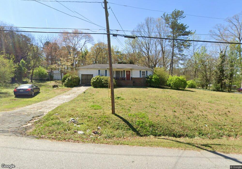
5911 Pinecrest Rd Austell, GA 30168
Estimated Value: $229,000 - $243,000
2
Beds
1
Bath
1,325
Sq Ft
$177/Sq Ft
Est. Value
About This Home
This home is located at 5911 Pinecrest Rd, Austell, GA 30168 and is currently estimated at $234,408, approximately $176 per square foot. 5911 Pinecrest Rd is a home located in Cobb County with nearby schools including Mableton Elementary School, Garrett Middle School, and South Cobb High School.
Ownership History
Date
Name
Owned For
Owner Type
Purchase Details
Closed on
May 12, 2011
Sold by
Beneficial Financial I Inc
Bought by
Onyuku Roseline A
Current Estimated Value
Purchase Details
Closed on
Sep 7, 2010
Sold by
Doby Patricia B
Bought by
Beneficial Mtg Co Of Ga
Purchase Details
Closed on
Jun 21, 1996
Sold by
Jackson Carool W
Bought by
Doby George W Patric
Create a Home Valuation Report for This Property
The Home Valuation Report is an in-depth analysis detailing your home's value as well as a comparison with similar homes in the area
Home Values in the Area
Average Home Value in this Area
Purchase History
| Date | Buyer | Sale Price | Title Company |
|---|---|---|---|
| Onyuku Roseline A | $23,000 | -- | |
| Beneficial Mtg Co Of Ga | $29,414 | -- | |
| Doby George W Patric | $59,900 | -- |
Source: Public Records
Mortgage History
| Date | Status | Borrower | Loan Amount |
|---|---|---|---|
| Closed | Doby George W Patric | $0 |
Source: Public Records
Tax History
| Year | Tax Paid | Tax Assessment Tax Assessment Total Assessment is a certain percentage of the fair market value that is determined by local assessors to be the total taxable value of land and additions on the property. | Land | Improvement |
|---|---|---|---|---|
| 2025 | $2,154 | $71,492 | $34,008 | $37,484 |
| 2024 | $2,155 | $71,492 | $34,008 | $37,484 |
| 2023 | $1,954 | $64,800 | $34,008 | $30,792 |
Source: Public Records
Map
Nearby Homes
- 2042 Linda Dr SW
- 1794 Blossom Ln
- 1984 Brenda Dr
- 1995 Matt Dr
- 5804 S Gordon Rd
- 1995 Oak Ct
- 2145 Venesa Cir
- 0 Dogwood Cir Unit 10666145
- 0 Dogwood Cir Unit 7671035
- 0 Dogwood Cir Unit 10630776
- 0 Dogwood Cir Unit 7697362
- 1628 Pendley Dr
- 6083 Oak Hill Dr
- 1055 Elowen Dr
- 1045 Elowen Dr
- 1155 Elowen Dr
- 1075 Elowen Dr
- 1676 Veterans Memorial Hwy SW
- 2115 Ravencliff Dr
- 1551 Old Alabama Rd
- 1859 Pinecrest Rd
- 5931 Pinecrest Rd
- 5879 Pinecrest Rd
- 1892 Linda Dr
- 1849 Pinecrest Rd Unit 1
- 1893 Linda Dr
- 1879 Brenda Dr
- 5869 Pinecrest Rd
- 1902 Linda Dr Unit 2
- 1850 Pinecrest Rd
- 1899 Brenda Dr
- 1901 Linda Dr
- 5910 S Gordon Rd
- 1912 Linda Dr Unit 2
- 5857 Pinecrest Rd
- 1840 Pinecrest Rd
- 1870 Witt Dr
- 1910 Linda Dr
- 1909 Brenda Dr
- 1894 Brenda Dr
Your Personal Tour Guide
Ask me questions while you tour the home.