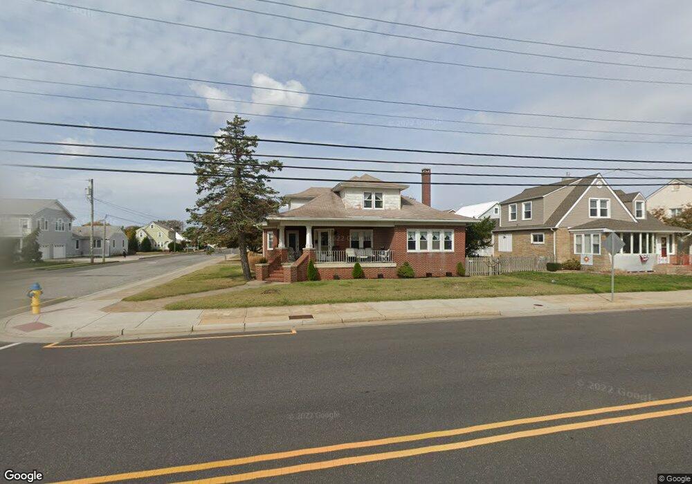
5912 Atlantic Ave Wildwood, NJ 08260
The Wildwoods NeighborhoodEstimated Value: $1,060,000 - $1,481,000
--
Bed
--
Bath
3,196
Sq Ft
$389/Sq Ft
Est. Value
About This Home
This home is located at 5912 Atlantic Ave, Wildwood, NJ 08260 and is currently estimated at $1,243,084, approximately $388 per square foot. 5912 Atlantic Ave is a home located in Cape May County with nearby schools including Crest Memorial School, Wildwood Catholic Academy, and Wildwood Catholic High School.
Ownership History
Date
Name
Owned For
Owner Type
Purchase Details
Closed on
Sep 7, 2001
Sold by
Stark Richard
Bought by
Tantum Joseph M and Tantum Mary Lou
Current Estimated Value
Home Financials for this Owner
Home Financials are based on the most recent Mortgage that was taken out on this home.
Original Mortgage
$155,000
Outstanding Balance
$60,442
Interest Rate
6.99%
Estimated Equity
$1,182,642
Purchase Details
Closed on
Nov 1, 1994
Sold by
Kwasnieski John E
Bought by
Stark Richard and Stark Ruth
Purchase Details
Closed on
Sep 22, 1989
Sold by
Caruno Lucille
Bought by
Kwasnieski John
Create a Home Valuation Report for This Property
The Home Valuation Report is an in-depth analysis detailing your home's value as well as a comparison with similar homes in the area
Home Values in the Area
Average Home Value in this Area
Purchase History
| Date | Buyer | Sale Price | Title Company |
|---|---|---|---|
| Tantum Joseph M | $310,000 | -- | |
| Stark Richard | $210,000 | -- | |
| Kwasnieski John | $230,000 | -- |
Source: Public Records
Mortgage History
| Date | Status | Borrower | Loan Amount |
|---|---|---|---|
| Open | Tantum Joseph M | $155,000 |
Source: Public Records
Tax History Compared to Growth
Tax History
| Year | Tax Paid | Tax Assessment Tax Assessment Total Assessment is a certain percentage of the fair market value that is determined by local assessors to be the total taxable value of land and additions on the property. | Land | Improvement |
|---|---|---|---|---|
| 2025 | $8,425 | $590,400 | $430,400 | $160,000 |
| 2024 | $8,425 | $590,400 | $430,400 | $160,000 |
| 2023 | $8,301 | $590,400 | $430,400 | $160,000 |
| 2022 | $8,065 | $590,400 | $430,400 | $160,000 |
| 2021 | $7,829 | $590,400 | $430,400 | $160,000 |
| 2020 | $7,610 | $590,400 | $430,400 | $160,000 |
| 2019 | $7,551 | $590,400 | $430,400 | $160,000 |
| 2018 | $7,427 | $590,400 | $430,400 | $160,000 |
| 2017 | $7,280 | $590,400 | $430,400 | $160,000 |
| 2016 | $7,049 | $590,400 | $430,400 | $160,000 |
| 2015 | $6,943 | $590,400 | $430,400 | $160,000 |
| 2014 | $6,790 | $590,400 | $430,400 | $160,000 |
Source: Public Records
Map
Nearby Homes
- 301B E Crocus Rd Unit B
- 6109 Atlantic Ave Unit 100
- 206 E Cardinal Rd Unit 4
- 213 E Heather Rd
- 420 E Lavender Rd Unit 420
- 6302 Seaview Ave
- 415 E Heather Rd Unit 202
- 301 E Lavender Rd Unit 1 (A)
- 5600 Seaview Ave Unit 34
- 5600 Seaview Ave Unit 8
- 5600 Seaview Ave
- 5600 #23 Seaview Ave Unit 23
- 302 E Buttercup Rd Unit 6
- 302 E Buttercup Rd Unit 10
- 5901 New Jersey Ave Unit 3
- 6411 Pacific Ave Unit 2
- 103 W Aster Rd
- 103 W Aster Rd Unit 103
- 6307 New Jersey Ave Unit 203
- 6307 New Jersey Ave Unit 202
- 5906 Atlantic Ave
- 5909 Seaview Ave
- 5900 Atlantic Ave
- 6000 Atlantic Ave
- 304 E Crocus Rd
- 6001 Seaview Ave
- 300 E Crocus Rd
- 6006 Atlantic Ave
- 6005 Seaview Ave
- 5901 Atlantic Ave Unit 303
- 5901 Atlantic Ave
- 5901 Atlantic Ave Unit 301
- 5901 Atlantic Ave
- 5901 Atlantic Ave
- 5901 Atlantic Ave
- 5901 Atlantic Ave Unit 103
- 5901 Atlantic Ave
- 5901 Atlantic Ave
- 5901 Atlantic Ave
- 5901 Atlantic Ave Unit 102