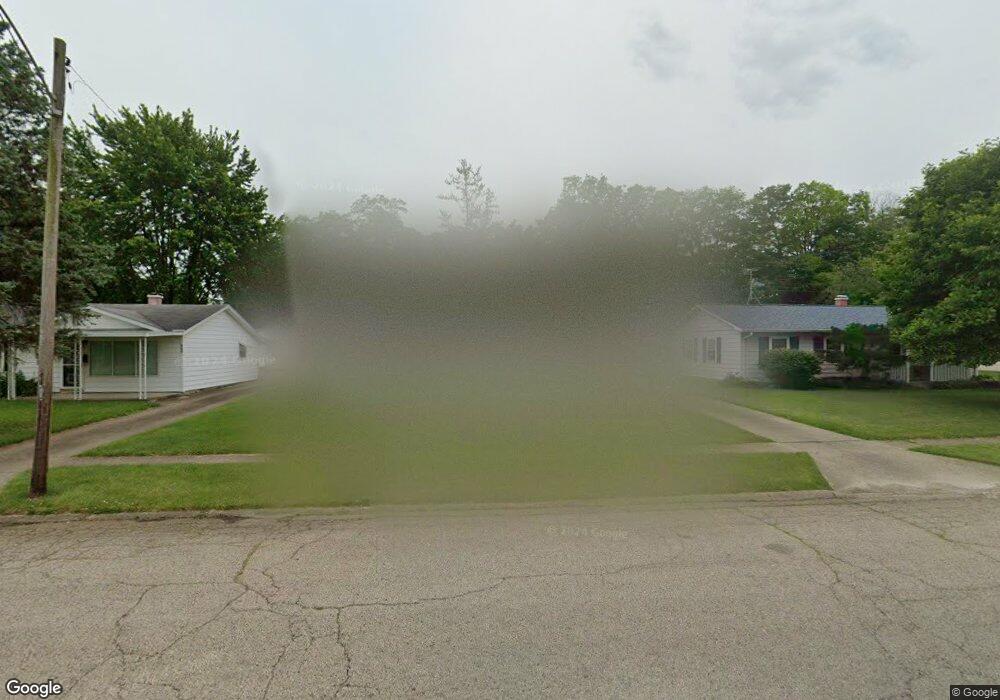
5912 Sharp Rd Dayton, OH 45432
Estimated Value: $145,000 - $185,000
4
Beds
2
Baths
1,046
Sq Ft
$164/Sq Ft
Est. Value
About This Home
This home is located at 5912 Sharp Rd, Dayton, OH 45432 and is currently estimated at $171,063, approximately $163 per square foot. 5912 Sharp Rd is a home located in Montgomery County with nearby schools including Parkwood Elementary School, Herman K Ankeney Middle School, and Beavercreek High School.
Ownership History
Date
Name
Owned For
Owner Type
Purchase Details
Closed on
Apr 17, 2020
Sold by
Strong Aundrea C and Strong Gary L
Bought by
Strong Gary L and Strong Aundrea D
Current Estimated Value
Home Financials for this Owner
Home Financials are based on the most recent Mortgage that was taken out on this home.
Original Mortgage
$79,000
Outstanding Balance
$69,664
Interest Rate
3.5%
Mortgage Type
New Conventional
Estimated Equity
$101,399
Purchase Details
Closed on
May 31, 2012
Sold by
Estate Of Frederick C Ryan and Ryan Frederick Charles
Bought by
Mcdonald Aundrea D
Home Financials for this Owner
Home Financials are based on the most recent Mortgage that was taken out on this home.
Original Mortgage
$66,768
Interest Rate
3.87%
Mortgage Type
FHA
Create a Home Valuation Report for This Property
The Home Valuation Report is an in-depth analysis detailing your home's value as well as a comparison with similar homes in the area
Home Values in the Area
Average Home Value in this Area
Purchase History
| Date | Buyer | Sale Price | Title Company |
|---|---|---|---|
| Strong Gary L | -- | Agility Closing & Ttl Svcs I | |
| Mcdonald Aundrea D | $68,000 | Return To Title Wave |
Source: Public Records
Mortgage History
| Date | Status | Borrower | Loan Amount |
|---|---|---|---|
| Open | Strong Gary L | $79,000 | |
| Closed | Mcdonald Aundrea D | $66,768 |
Source: Public Records
Tax History
| Year | Tax Paid | Tax Assessment Tax Assessment Total Assessment is a certain percentage of the fair market value that is determined by local assessors to be the total taxable value of land and additions on the property. | Land | Improvement |
|---|---|---|---|---|
| 2025 | $2,510 | $40,790 | $9,640 | $31,150 |
| 2024 | $2,434 | $40,790 | $9,640 | $31,150 |
| 2023 | $2,434 | $40,790 | $9,640 | $31,150 |
| 2022 | $1,864 | $26,660 | $6,300 | $20,360 |
| 2021 | $1,872 | $26,660 | $6,300 | $20,360 |
| 2020 | $1,879 | $26,660 | $6,300 | $20,360 |
| 2019 | $1,965 | $25,410 | $6,300 | $19,110 |
| 2018 | $1,825 | $25,410 | $6,300 | $19,110 |
| 2017 | $1,791 | $25,410 | $6,300 | $19,110 |
| 2016 | $1,782 | $24,250 | $6,300 | $17,950 |
| 2015 | $1,936 | $24,250 | $6,300 | $17,950 |
| 2014 | $1,936 | $24,250 | $6,300 | $17,950 |
| 2012 | -- | $27,490 | $7,000 | $20,490 |
Source: Public Records
Map
Nearby Homes
- 5943 Sharp Rd
- 6000 Sharp Rd
- 5588 Sharp Rd
- 5713 Mayville Dr
- 5664 Mayville Dr
- 1176 Irmal Dr
- Lot 10 Linden Ave
- Lot 11 Linden Ave
- 1792 Stedman Ln
- 1538 Lytton Place
- 1301 Ames Ave
- 4460 Mohave Dr
- 4174 Mapleview Dr
- 1726 Rausch Ave
- 4328 Richland Ave
- 1622 Seabrook Rd
- 4083 Dayton Xenia Rd
- 4301 Richland Ave
- 1792 Nugget Ct
- 4931 Arcadia Blvd
Your Personal Tour Guide
Ask me questions while you tour the home.