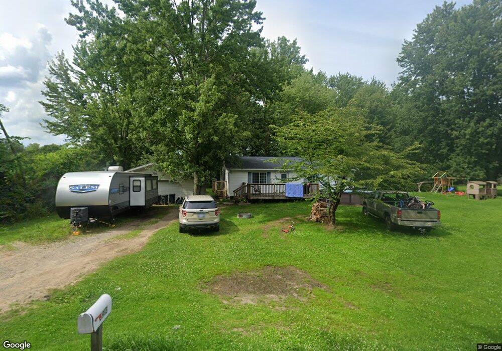
5913 Mccomb St Deford, MI 48729
Estimated Value: $214,000 - $276,000
--
Bed
--
Bath
--
Sq Ft
0.34
Acres
About This Home
This home is located at 5913 Mccomb St, Deford, MI 48729 and is currently estimated at $257,105. 5913 Mccomb St is a home with nearby schools including Kingston Elementary School, Kingston High School, and Deford Christian Academy.
Ownership History
Date
Name
Owned For
Owner Type
Purchase Details
Closed on
Nov 15, 2012
Sold by
Branch Michael L and Branch Michael
Bought by
Hsbc Mortgage Services Inc
Current Estimated Value
Purchase Details
Closed on
May 3, 2006
Sold by
Witkovsky Walter
Bought by
Branch Michael and Branch Billa
Home Financials for this Owner
Home Financials are based on the most recent Mortgage that was taken out on this home.
Original Mortgage
$101,000
Interest Rate
8.71%
Mortgage Type
Adjustable Rate Mortgage/ARM
Create a Home Valuation Report for This Property
The Home Valuation Report is an in-depth analysis detailing your home's value as well as a comparison with similar homes in the area
Home Values in the Area
Average Home Value in this Area
Purchase History
| Date | Buyer | Sale Price | Title Company |
|---|---|---|---|
| Hsbc Mortgage Services Inc | $38,585 | None Available | |
| Branch Michael | $101,000 | County Abstract & Title Agen |
Source: Public Records
Mortgage History
| Date | Status | Borrower | Loan Amount |
|---|---|---|---|
| Previous Owner | Branch Michael | $101,000 |
Source: Public Records
Tax History Compared to Growth
Tax History
| Year | Tax Paid | Tax Assessment Tax Assessment Total Assessment is a certain percentage of the fair market value that is determined by local assessors to be the total taxable value of land and additions on the property. | Land | Improvement |
|---|---|---|---|---|
| 2025 | $1,991 | $128,300 | $0 | $0 |
| 2024 | $1,991 | $122,000 | $0 | $0 |
| 2023 | $2,269 | $106,200 | $0 | $0 |
| 2022 | $2,172 | $94,500 | $0 | $0 |
| 2021 | $2,119 | $95,500 | $0 | $0 |
| 2020 | $2,098 | $81,000 | $0 | $0 |
| 2019 | $1,443 | $53,800 | $0 | $0 |
| 2018 | $1,375 | $52,200 | $0 | $0 |
| 2017 | $1,348 | $48,800 | $0 | $0 |
| 2016 | $1,262 | $42,000 | $0 | $0 |
| 2015 | $8 | $42,800 | $0 | $0 |
| 2014 | $8 | $39,100 | $0 | $0 |
| 2013 | $8 | $39,100 | $0 | $0 |
Source: Public Records
Map
Nearby Homes
- 7405 E Bevens Rd
- 3469 Pine St
- 5831 Reed St
- 5070 Sanilac Rd
- 5770 Denhoff Rd
- 3254 S Plain Rd
- 1771 S Hurds Corner Rd
- 3591 Curry Rd
- 0000 Cooklin Rd
- 0 Deckerville Deckerville Rd
- 6935 Sanilac Rd
- 4539 Williams Dr
- V/L Warner Rd
- No Number Shay Lake Rd
- 000 Shay Lake Rd
- 4521 Arden Park Dr
- V/L Murray Rd
- 000 Edmund Dr
- 000 Birch Dr
- 000 Midway Dr
- 1786 Montague St
- 5937 Mccomb St
- 1769 Montague St
- 1779 Hawkins St
- 1793 Nettleton Dr
- 5888 Mccomb St
- 5997 Mccomb St
- 5918 Howard St
- 1773 Hawkins St
- 5894 Howard St
- 5874 Howard St
- 1767 Hawkins St
- 1778 Hawkins St
- 5958 Howard St
- 5856 Howard St
- 5929 Howard St
- 5972 Howard St
- 5883 Howard St
- 1768 S Kingston Rd
- 5986 Howard St