5914 Sabathney Rd Weatherford, TX 76085
Estimated Value: $1,354,000
--
Bed
--
Bath
7,180
Sq Ft
$189/Sq Ft
Est. Value
About This Home
This home is located at 5914 Sabathney Rd, Weatherford, TX 76085 and is currently priced at $1,354,000, approximately $188 per square foot. 5914 Sabathney Rd is a home located in Parker County with nearby schools including Cross Timbers Elementary School, W E Hoover Elementary School, and Santo Forte Junior High School.
Ownership History
Date
Name
Owned For
Owner Type
Purchase Details
Closed on
Apr 20, 1999
Bought by
Mayhall Dennis L and Mayhall Tina S
Current Estimated Value
Purchase Details
Closed on
Jan 3, 1995
Bought by
Mayhall Dennis L and Mayhall Tina S
Purchase Details
Closed on
Jan 23, 1987
Bought by
Mayhall Dennis L and Mayhall Tina S
Create a Home Valuation Report for This Property
The Home Valuation Report is an in-depth analysis detailing your home's value as well as a comparison with similar homes in the area
Home Values in the Area
Average Home Value in this Area
Purchase History
| Date | Buyer | Sale Price | Title Company |
|---|---|---|---|
| Mayhall Dennis L | -- | -- | |
| Mayhall Dennis L | -- | -- | |
| Mayhall Dennis L | -- | -- |
Source: Public Records
Tax History Compared to Growth
Tax History
| Year | Tax Paid | Tax Assessment Tax Assessment Total Assessment is a certain percentage of the fair market value that is determined by local assessors to be the total taxable value of land and additions on the property. | Land | Improvement |
|---|---|---|---|---|
| 2025 | $5,608 | $1,037,260 | -- | -- |
| 2024 | $5,608 | $942,964 | -- | -- |
| 2023 | $5,608 | $857,240 | $0 | $0 |
| 2022 | $14,420 | $965,460 | $8,410 | $957,050 |
| 2021 | $13,152 | $932,330 | $8,410 | $923,920 |
| 2020 | $11,892 | $616,680 | $6,730 | $609,950 |
| 2019 | $11,267 | $596,680 | $6,730 | $589,950 |
| 2018 | $10,275 | $501,150 | $3,510 | $497,640 |
| 2017 | $9,791 | $501,150 | $3,510 | $497,640 |
| 2016 | $9,791 | $501,150 | $3,510 | $497,640 |
| 2015 | $3,612 | $501,150 | $3,510 | $497,640 |
| 2014 | $9,934 | $519,410 | $3,540 | $515,870 |
Source: Public Records
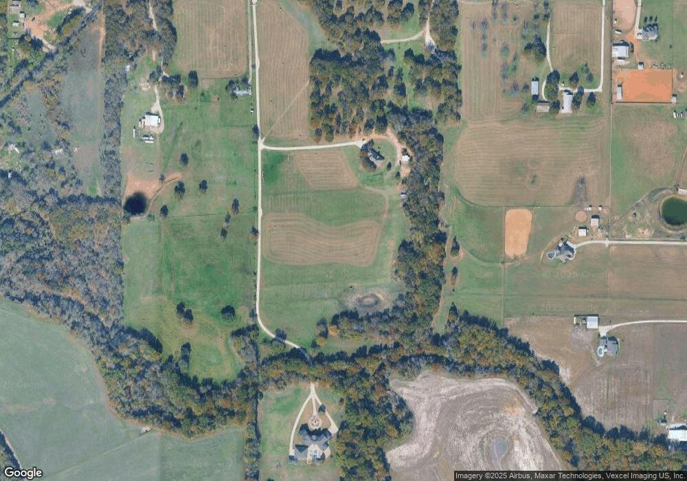
Map
Nearby Homes
- 2009 Cypress Ct
- 2004 Cypress Ct
- 2000 Cypress Ct
- 1106 Silver Sage Trail
- 1114 Silver Sage Trail
- 1113 Silver Sage Trail
- 1024 Silver Sage Trail
- 1050 Silver Sage Trail
- 1057 Silver Sage Trail
- 1046 Silver Sage Trail
- 1033 Silver Sage Trail
- 221 Shady Oaks Dr
- 105 Ash Ln
- 687 Bent Tree Ln
- The Wilder Plan at Brooks Meadow
- The Ryder Plan at Brooks Meadow
- The Curran Plan at Brooks Meadow
- The Bennett Plan at Brooks Meadow
- The Jackson Plan at Brooks Meadow
- The Hunter Plan at Brooks Meadow
- 1105 Silver Sage Trail
- 1118 Silver Sage Trail
- 5910 Sabathney Rd
- 1117 Silver Sage Trail
- 1401 Finney Dr
- 2004 Silver Sage Trail
- 1415 Finney Dr
- 1053 Silver Sage Trail
- 1049 Silver Sage Trail
- 5901 Sabathney Rd
- 39 Imperial Mammoth Ln
- 34 Imperial Mammoth Ln
- 1029 Silver Sage Trail
- 381 Edward Farris Rd
- 1013 Silver Sage Trail
- 5800 Sabathney Rd
- 15 Tusk Ct
- 7376 Comer Ln
- 5540 Sabathney Rd
- 5936 Sabathney Rd