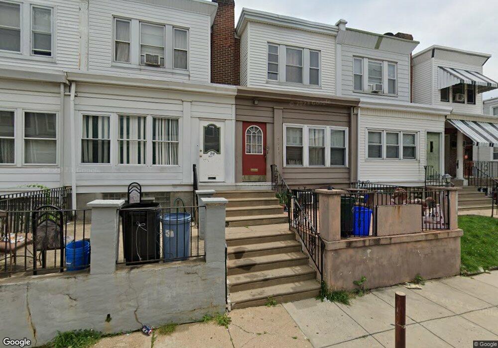
5915 Elsinore St Philadelphia, PA 19120
Lawncrest NeighborhoodEstimated Value: $158,000 - $177,000
3
Beds
1
Bath
1,042
Sq Ft
$163/Sq Ft
Est. Value
About This Home
This home is located at 5915 Elsinore St, Philadelphia, PA 19120 and is currently estimated at $169,703, approximately $162 per square foot. 5915 Elsinore St is a home located in Philadelphia County with nearby schools including Benjamin Franklin Elementary School, Samuel Fels High School, and Mast Community Charter Ii.
Ownership History
Date
Name
Owned For
Owner Type
Purchase Details
Closed on
Sep 18, 2001
Sold by
Mcginnis Emma and Gross Joyce K
Bought by
Neris Maria I
Current Estimated Value
Home Financials for this Owner
Home Financials are based on the most recent Mortgage that was taken out on this home.
Original Mortgage
$36,763
Outstanding Balance
$14,262
Interest Rate
6.92%
Estimated Equity
$155,441
Create a Home Valuation Report for This Property
The Home Valuation Report is an in-depth analysis detailing your home's value as well as a comparison with similar homes in the area
Home Values in the Area
Average Home Value in this Area
Purchase History
| Date | Buyer | Sale Price | Title Company |
|---|---|---|---|
| Neris Maria I | $37,900 | -- |
Source: Public Records
Mortgage History
| Date | Status | Borrower | Loan Amount |
|---|---|---|---|
| Open | Neris Maria I | $36,763 | |
| Closed | Neris Maria I | $3,541 |
Source: Public Records
Tax History Compared to Growth
Tax History
| Year | Tax Paid | Tax Assessment Tax Assessment Total Assessment is a certain percentage of the fair market value that is determined by local assessors to be the total taxable value of land and additions on the property. | Land | Improvement |
|---|---|---|---|---|
| 2025 | $1,656 | $153,200 | $30,640 | $122,560 |
| 2024 | $1,656 | $153,200 | $30,640 | $122,560 |
| 2023 | $1,656 | $118,300 | $23,660 | $94,640 |
| 2022 | $1,153 | $118,300 | $23,660 | $94,640 |
| 2021 | $1,153 | $0 | $0 | $0 |
| 2020 | $1,153 | $0 | $0 | $0 |
| 2019 | $1,107 | $0 | $0 | $0 |
| 2018 | $1,116 | $0 | $0 | $0 |
| 2017 | $1,116 | $0 | $0 | $0 |
| 2016 | $696 | $0 | $0 | $0 |
| 2015 | $666 | $0 | $0 | $0 |
| 2014 | -- | $79,700 | $11,712 | $67,988 |
| 2012 | -- | $11,360 | $1,373 | $9,987 |
Source: Public Records
Map
Nearby Homes
- 5945 Palmetto St
- 5934 Palmetto St
- 5922 Elsinore St
- 5915 Palmetto St
- 5939 Malta St
- 5943 Malta St
- 5920 Lawndale St
- 604 Alcott St
- 578 Rosalie St Unit A
- 6040 Lawndale Ave
- 561 E Cheltenham Ave
- 6101 Colgate St
- 6111 Palmetto St
- 517 E Cheltenham Ave
- 644 E Cheltenham Ave
- 6126-28 Bingham St
- 441 Van Kirk St
- 554 E Carver St
- 569 E Sanger St
- 454 Devereaux Ave
- 5913 Elsinore St
- 5917 Elsinore St
- 5911 Elsinore St
- 5919 Elsinore St
- 5921 Elsinore St
- 5923 Elsinore St
- 5912 Bingham St
- 5914 Bingham St
- 5910 Bingham St
- 5916 Bingham St
- 5925 Elsinore St
- 579 Van Kirk St
- 573 Van Kirk St
- 577 Van Kirk St
- 575 Van Kirk St
- 5918 Bingham St
- 581 Van Kirk St
- 5927 Elsinore St
- 583 Van Kirk St
- 5920 Bingham St