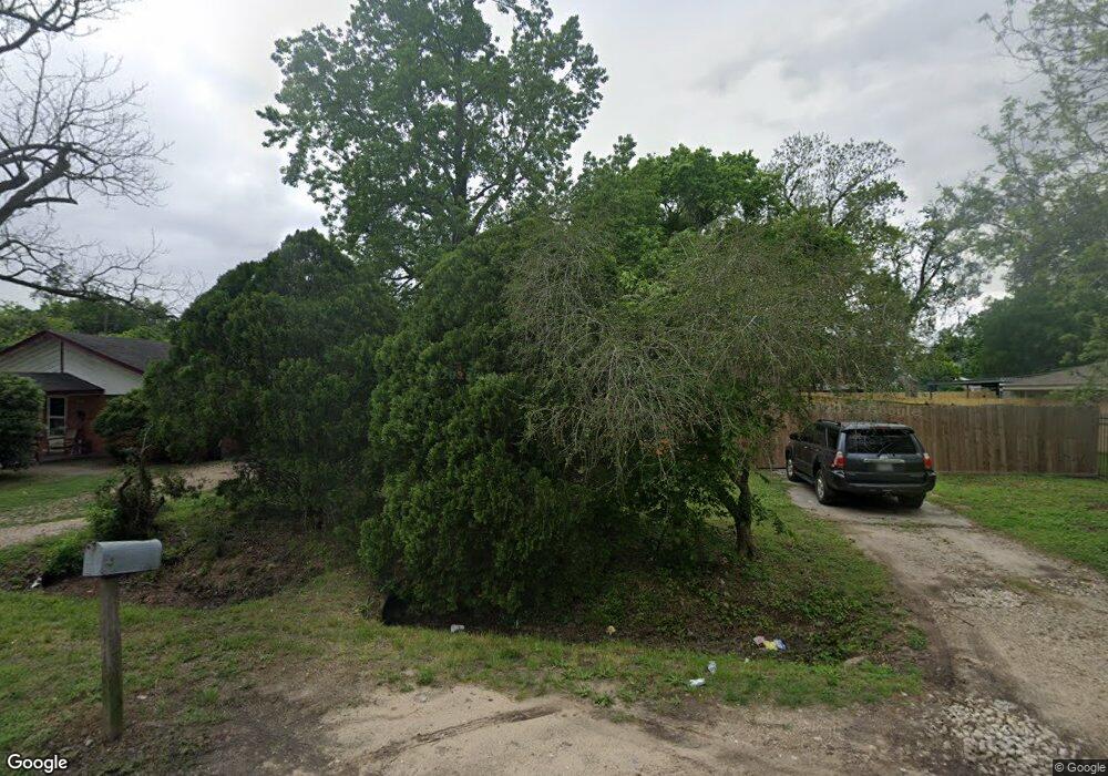
5915 Maxroy St Houston, TX 77091
Acres Homes NeighborhoodEstimated Value: $184,835 - $311,000
3
Beds
1
Bath
1,176
Sq Ft
$197/Sq Ft
Est. Value
About This Home
This home is located at 5915 Maxroy St, Houston, TX 77091 and is currently estimated at $231,959, approximately $197 per square foot. 5915 Maxroy St is a home located in Harris County with nearby schools including Reece Academy, Anderson Academy, and Drew Academy.
Ownership History
Date
Name
Owned For
Owner Type
Purchase Details
Closed on
Jul 1, 2010
Sold by
Smith Albert
Bought by
Reid Malcolm
Current Estimated Value
Home Financials for this Owner
Home Financials are based on the most recent Mortgage that was taken out on this home.
Original Mortgage
$28,500
Interest Rate
4.78%
Mortgage Type
Seller Take Back
Purchase Details
Closed on
Mar 31, 2010
Sold by
Dean Lavada J and Smith Lavada
Bought by
Smith Albert
Purchase Details
Closed on
Jan 6, 1997
Sold by
B & F Realty Company Inc
Bought by
Smith Albert and Smith Lavada
Create a Home Valuation Report for This Property
The Home Valuation Report is an in-depth analysis detailing your home's value as well as a comparison with similar homes in the area
Home Values in the Area
Average Home Value in this Area
Purchase History
| Date | Buyer | Sale Price | Title Company |
|---|---|---|---|
| Reid Malcolm | -- | Stewart Title Houston Div | |
| Smith Albert | -- | Stewart Title Houston Div | |
| Smith Albert | -- | -- |
Source: Public Records
Mortgage History
| Date | Status | Borrower | Loan Amount |
|---|---|---|---|
| Closed | Reid Malcolm | $28,500 |
Source: Public Records
Tax History Compared to Growth
Tax History
| Year | Tax Paid | Tax Assessment Tax Assessment Total Assessment is a certain percentage of the fair market value that is determined by local assessors to be the total taxable value of land and additions on the property. | Land | Improvement |
|---|---|---|---|---|
| 2025 | $5 | $200,728 | $102,231 | $98,497 |
| 2024 | $5 | $196,115 | $102,231 | $93,884 |
| 2023 | $5 | $188,680 | $94,796 | $93,884 |
| 2022 | $1,720 | $126,412 | $59,220 | $67,192 |
| 2021 | $1,637 | $73,346 | $24,675 | $48,671 |
| 2020 | $1,564 | $69,710 | $24,675 | $45,035 |
| 2019 | $1,491 | $69,710 | $24,675 | $45,035 |
| 2018 | $344 | $58,546 | $19,740 | $38,806 |
| 2017 | $1,181 | $58,546 | $19,740 | $38,806 |
| 2016 | $1,553 | $58,546 | $19,740 | $38,806 |
| 2015 | $979 | $36,793 | $12,338 | $24,455 |
| 2014 | $979 | $36,793 | $12,338 | $24,455 |
Source: Public Records
Map
Nearby Homes
- 1205 Highland Vineyard Ln
- 9363 Plan at Highland Commons
- 9263 Plan at Highland Commons
- 9272 Plan at Highland Commons
- 9269 Plan at Highland Commons
- 9264 Plan at Highland Commons
- 9381 Plan at Highland Commons
- 1220 Highland Row Ln
- 1222 Highland Row Ln
- 1218 Highland Row Ln
- 1224 Highland Row Ln
- 5804 Burt St
- 1407 Mansfield St
- 1226 Highland Row Ln
- 1321 De Soto St
- 1127 Mansfield St
- 5832 & 5834 Highland Sun Ln
- 1501 De Soto St Unit 6104
- 1501 De Soto St Unit 6130
- 1501 De Soto St Unit 6128
- 5919 Maxroy St
- 5911 Maxroy St
- 5923 Maxroy St
- 5903 Maxroy St
- 1402 Mansfield St
- 5914 Maxroy St
- 6007 Maxroy St
- 5918 Maxroy St
- 5910 Maxroy St
- 5908 Maxroy St
- 5922 Maxroy St
- 6011 Maxroy St
- 6002 Maxroy St
- 1404 Mansfield St
- 5906 Weathersby St
- 6006 Maxroy St
- 1406 Mansfield St
- 1217 Highland Square Ln
- 5904 Weathersby St
- 1212 Highland Square Ln