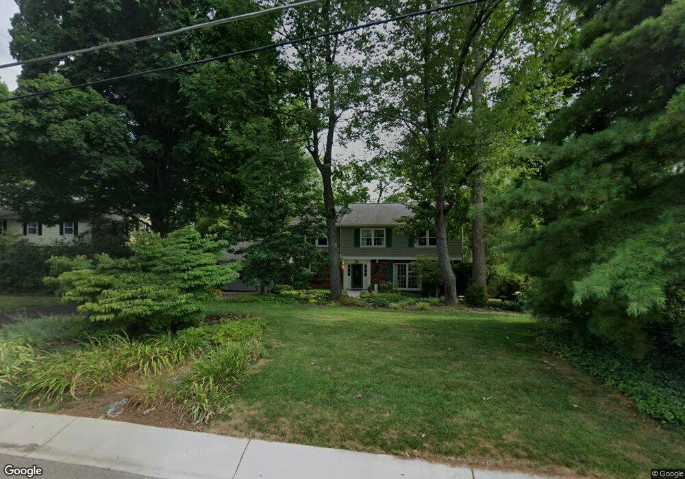
5915 Ropes Dr Cincinnati, OH 45244
Turpin Hills NeighborhoodEstimated Value: $496,000 - $687,000
4
Beds
4
Baths
1,472
Sq Ft
$420/Sq Ft
Est. Value
About This Home
This home is located at 5915 Ropes Dr, Cincinnati, OH 45244 and is currently estimated at $618,146, approximately $419 per square foot. 5915 Ropes Dr is a home located in Hamilton County with nearby schools including Mercer Elementary School, Nagel Middle School, and Turpin High School.
Ownership History
Date
Name
Owned For
Owner Type
Purchase Details
Closed on
Aug 12, 1997
Sold by
Blake Walter B and Blake Susan H
Bought by
Engelbrecht Steven A and Engelbrecht Deborah W
Current Estimated Value
Home Financials for this Owner
Home Financials are based on the most recent Mortgage that was taken out on this home.
Original Mortgage
$85,000
Outstanding Balance
$10,817
Interest Rate
7.71%
Estimated Equity
$607,329
Create a Home Valuation Report for This Property
The Home Valuation Report is an in-depth analysis detailing your home's value as well as a comparison with similar homes in the area
Home Values in the Area
Average Home Value in this Area
Purchase History
| Date | Buyer | Sale Price | Title Company |
|---|---|---|---|
| Engelbrecht Steven A | $259,900 | -- |
Source: Public Records
Mortgage History
| Date | Status | Borrower | Loan Amount |
|---|---|---|---|
| Open | Engelbrecht Steven A | $85,000 |
Source: Public Records
Tax History
| Year | Tax Paid | Tax Assessment Tax Assessment Total Assessment is a certain percentage of the fair market value that is determined by local assessors to be the total taxable value of land and additions on the property. | Land | Improvement |
|---|---|---|---|---|
| 2025 | $10,537 | $168,606 | $26,775 | $141,831 |
| 2024 | $10,239 | $168,606 | $26,775 | $141,831 |
| 2023 | $9,740 | $168,606 | $26,775 | $141,831 |
| 2022 | $8,115 | $125,091 | $23,335 | $101,756 |
| 2021 | $7,923 | $125,091 | $23,335 | $101,756 |
| 2020 | $8,015 | $125,091 | $23,335 | $101,756 |
| 2019 | $7,812 | $110,698 | $20,650 | $90,048 |
| 2018 | $7,317 | $110,698 | $20,650 | $90,048 |
| 2017 | $6,901 | $110,698 | $20,650 | $90,048 |
| 2016 | $6,617 | $103,698 | $20,580 | $83,118 |
| 2015 | $6,427 | $103,698 | $20,580 | $83,118 |
| 2014 | $6,431 | $103,698 | $20,580 | $83,118 |
| 2013 | $5,793 | $98,760 | $19,600 | $79,160 |
Source: Public Records
Map
Nearby Homes
- 5459 Hanover Cir
- 2605 Bonnie Dr
- 6362 Stirrup Rd
- 6519 Copperleaf Ln
- 2669 Newtown Rd
- 6716 Treeridge Dr
- 2412 Findlater Ct
- 6542 Rainbow Ln
- 6809 Jefferson St
- 6253 Sturdy Ave
- 6912 Edith St
- 2911 Perthwood Dr
- 2127 Oxford Ave Unit 10
- 2121 Sutton Ave
- 2140 Trailwood Dr
- 2111 Sutton Ave
- 6050 Bagdad Dr
- 3305 Scioto Dr
- 1944 Rockland Ave
- 7080 Hunley Rd
Your Personal Tour Guide
Ask me questions while you tour the home.