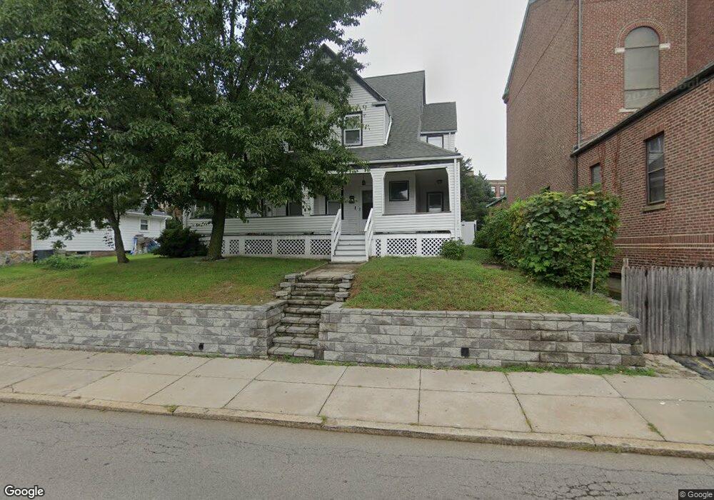
592 Ashmont St Dorchester, MA 02122
Neponset-Port Norfolk NeighborhoodEstimated Value: $927,000 - $979,000
4
Beds
2
Baths
2,733
Sq Ft
$348/Sq Ft
Est. Value
About This Home
This home is located at 592 Ashmont St, Dorchester, MA 02122 and is currently estimated at $951,260, approximately $348 per square foot. 592 Ashmont St is a home located in Suffolk County with nearby schools including Neighborhood House Charter School and Helen Y. Davis Leadership Academy Charter Public School.
Ownership History
Date
Name
Owned For
Owner Type
Purchase Details
Closed on
Jan 24, 2014
Sold by
Welch Patricia J
Bought by
Spinelli Paul
Current Estimated Value
Home Financials for this Owner
Home Financials are based on the most recent Mortgage that was taken out on this home.
Original Mortgage
$323,000
Outstanding Balance
$242,492
Interest Rate
4.4%
Mortgage Type
New Conventional
Estimated Equity
$708,768
Create a Home Valuation Report for This Property
The Home Valuation Report is an in-depth analysis detailing your home's value as well as a comparison with similar homes in the area
Home Values in the Area
Average Home Value in this Area
Purchase History
| Date | Buyer | Sale Price | Title Company |
|---|---|---|---|
| Spinelli Paul | $432,500 | -- |
Source: Public Records
Mortgage History
| Date | Status | Borrower | Loan Amount |
|---|---|---|---|
| Open | Spinelli Paul | $323,000 | |
| Previous Owner | Spinelli Paul | $100,000 | |
| Previous Owner | Spinelli Paul | $75,000 |
Source: Public Records
Tax History Compared to Growth
Tax History
| Year | Tax Paid | Tax Assessment Tax Assessment Total Assessment is a certain percentage of the fair market value that is determined by local assessors to be the total taxable value of land and additions on the property. | Land | Improvement |
|---|---|---|---|---|
| 2025 | $9,366 | $808,800 | $244,800 | $564,000 |
| 2024 | $8,996 | $825,300 | $237,300 | $588,000 |
| 2023 | $8,282 | $771,100 | $221,700 | $549,400 |
| 2022 | $7,986 | $734,000 | $211,000 | $523,000 |
| 2021 | $7,542 | $706,800 | $204,900 | $501,900 |
| 2020 | $6,755 | $639,700 | $206,800 | $432,900 |
| 2019 | $6,248 | $592,800 | $171,500 | $421,300 |
| 2018 | $5,804 | $553,800 | $171,500 | $382,300 |
| 2017 | $5,583 | $527,200 | $171,500 | $355,700 |
| 2016 | $5,162 | $469,300 | $171,500 | $297,800 |
| 2015 | $5,091 | $420,400 | $161,800 | $258,600 |
| 2014 | $4,988 | $396,500 | $161,800 | $234,700 |
Source: Public Records
Map
Nearby Homes
- 223 Neponset Ave Unit 2
- 56 Coffey St Unit 10
- 36 Mckone St Unit 2
- 36 Mckone St
- 36 Mckone St Unit 1
- 8 Mckone St
- 51 Coffey St Unit 51C
- 3 N Munroe Terrace
- 43 Chickatawbut St
- 45 Chickatawbut St Unit 1
- 22 Chickatawbut St Unit 2
- 378 Neponset Ave
- 60 Houghton St Unit 62
- 4 Payne St Unit 5
- 108 King St Unit 3
- 104 King St Unit 2
- 96 King St Unit 1
- 103 Minot St
- 107 Minot St
- 400-412 Neponset Ave
- 590 Ashmont St
- 588 Ashmont St
- 586 Ashmont St
- 247 Neponset Ave
- 95 Westglow St
- 595 Ashmont St
- 595 Ashmont St Unit 1
- 595 Ashmont St Unit 4
- 591 Ashmont St
- 584 Ashmont St
- 93 Westglow St
- 573 Ashmont St
- 91 Westglow St
- 265 Neponset Ave
- 580 Ashmont St
- 580 Ashmont St Unit 1
- 580 Ashmont St Unit 2
- 87 Westglow St
- 94 Westglow St
- 585 Ashmont St