Estimated Value: $177,497 - $272,000
Studio
1
Bath
1,542
Sq Ft
$146/Sq Ft
Est. Value
About This Home
This home is located at 592 Bond Rd, Cairo, GA 39827 and is currently estimated at $225,874, approximately $146 per square foot. 592 Bond Rd is a home located in Grady County.
Ownership History
Date
Name
Owned For
Owner Type
Purchase Details
Closed on
Jun 17, 2019
Sold by
Williams Roberta B
Bought by
Lovett Myra E
Current Estimated Value
Purchase Details
Closed on
May 14, 2019
Sold by
Williams Roberta B
Bought by
Williams James E
Purchase Details
Closed on
Jan 8, 2015
Sold by
Williams John E
Bought by
Williams James E and Williams Tiffany D
Purchase Details
Closed on
May 30, 1968
Bought by
Williams John E
Create a Home Valuation Report for This Property
The Home Valuation Report is an in-depth analysis detailing your home's value as well as a comparison with similar homes in the area
Purchase History
| Date | Buyer | Sale Price | Title Company |
|---|---|---|---|
| Lovett Myra E | -- | -- | |
| Williams James E | -- | -- | |
| Williams James E | -- | -- | |
| Williams John E | -- | -- |
Source: Public Records
Tax History
| Year | Tax Paid | Tax Assessment Tax Assessment Total Assessment is a certain percentage of the fair market value that is determined by local assessors to be the total taxable value of land and additions on the property. | Land | Improvement |
|---|---|---|---|---|
| 2024 | $984 | $55,471 | $7,001 | $48,470 |
| 2023 | $698 | $29,294 | $4,151 | $25,143 |
| 2022 | $698 | $29,294 | $4,151 | $25,143 |
| 2021 | $700 | $29,294 | $4,151 | $25,143 |
| 2020 | $702 | $29,294 | $4,151 | $25,143 |
| 2019 | $1,210 | $61,893 | $26,404 | $35,489 |
| 2018 | $1,080 | $59,683 | $24,194 | $35,489 |
| 2017 | $1,017 | $59,683 | $24,194 | $35,489 |
| 2016 | $882 | $54,929 | $24,194 | $30,735 |
| 2015 | $910 | $60,199 | $29,464 | $30,735 |
| 2014 | -- | $60,199 | $29,464 | $30,735 |
| 2013 | -- | $61,278 | $33,265 | $28,013 |
Source: Public Records
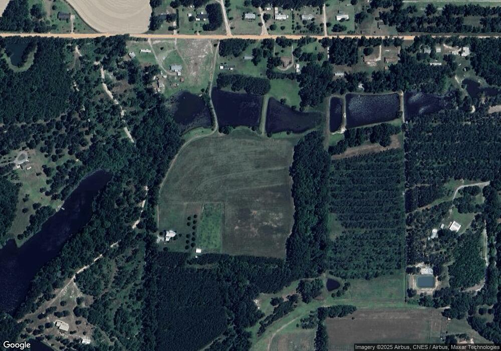
Map
Nearby Homes
Your Personal Tour Guide
Ask me questions while you tour the home.