Estimated Value: $202,000 - $257,000
3
Beds
2
Baths
1,430
Sq Ft
$160/Sq Ft
Est. Value
About This Home
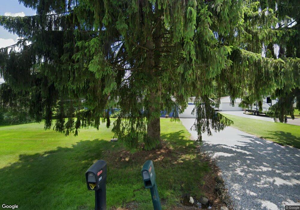
This home is located at 592 Deborah Dr, Akron, OH 44319 and is currently estimated at $228,300, approximately $159 per square foot. 592 Deborah Dr is a home located in Summit County with nearby schools including Nolley Elementary School, Manchester Middle School, and Manchester High School.
Ownership History
Date
Name
Owned For
Owner Type
Purchase Details
Closed on
Jan 30, 2015
Sold by
Looper Jeannette A
Bought by
Dixon Jeffrey S
Current Estimated Value
Home Financials for this Owner
Home Financials are based on the most recent Mortgage that was taken out on this home.
Original Mortgage
$87,590
Outstanding Balance
$67,186
Interest Rate
3.8%
Mortgage Type
New Conventional
Estimated Equity
$161,114
Create a Home Valuation Report for This Property
The Home Valuation Report is an in-depth analysis detailing your home's value as well as a comparison with similar homes in the area
Home Values in the Area
Average Home Value in this Area
Purchase History
| Date | Buyer | Sale Price | Title Company |
|---|---|---|---|
| Dixon Jeffrey S | $92,200 | None Available |
Source: Public Records
Mortgage History
| Date | Status | Borrower | Loan Amount |
|---|---|---|---|
| Open | Dixon Jeffrey S | $87,590 |
Source: Public Records
Tax History
| Year | Tax Paid | Tax Assessment Tax Assessment Total Assessment is a certain percentage of the fair market value that is determined by local assessors to be the total taxable value of land and additions on the property. | Land | Improvement |
|---|---|---|---|---|
| 2024 | $3,423 | $68,594 | $12,310 | $56,284 |
| 2023 | $3,423 | $68,594 | $12,310 | $56,284 |
| 2022 | $3,487 | $54,440 | $9,769 | $44,671 |
| 2021 | $3,500 | $54,440 | $9,769 | $44,671 |
| 2020 | $3,439 | $54,440 | $9,770 | $44,670 |
| 2019 | $3,082 | $43,720 | $9,770 | $33,950 |
| 2018 | $2,659 | $43,720 | $9,770 | $33,950 |
| 2017 | $1,956 | $43,720 | $9,770 | $33,950 |
| 2016 | $2,512 | $37,870 | $9,770 | $28,100 |
| 2015 | $1,956 | $37,870 | $9,770 | $28,100 |
| 2014 | $1,953 | $38,050 | $9,770 | $28,280 |
| 2013 | $2,151 | $41,200 | $9,770 | $31,430 |
Source: Public Records
Map
Nearby Homes
- 5743 Brookwood Dr
- 477 Deborah Dr
- 715 Highland Park Dr
- 771 Leeman Dr
- 427 Catalina Dr
- 5042 Laddie Dr
- 5766 Weaver Rd
- 6090 Manchester Rd Unit 6096
- 7 Shrakes Hotel Dr
- 6 Shrakes Hotel Dr
- 4 Shrakes Hotel Dr
- 5 Shrakes Hotel Dr
- 3 Shrakes Hotel Dr
- lot 8 Whyem Dr
- 4628 Whyem Dr
- 1365 Vanderhoof Rd
- 6235 Manchester Rd
- 4698 Manchester Rd
- 4387 Point Comfort Dr
- 4135 State Park Dr
- 578 Deborah Dr
- 604 Deborah Dr
- 610 Deborah Dr
- 599 Deborah Dr
- 5844 Renninger Rd
- 591 Deborah Dr
- 5860 Renninger Rd
- 583 Deborah Dr
- 623 Deborah Dr
- 575 Deborah Dr
- 620 Deborah Dr
- 5812 Renninger Rd
- 5815 Brookwood Dr
- 630 Deborah Dr
- 5802 Renninger Rd
- 5820 Brookwood Dr
- 5890 Renninger Rd
- 639 Deborah Dr
- 5799 Brookwood Dr
- 5790 Renninger Rd
Your Personal Tour Guide
Ask me questions while you tour the home.