592 Devon Brooke Dr Unit 4 Woodstock, GA 30188
Union Hill NeighborhoodEstimated Value: $760,723 - $765,000
5
Beds
5
Baths
3,947
Sq Ft
$193/Sq Ft
Est. Value
About This Home
This home is located at 592 Devon Brooke Dr Unit 4, Woodstock, GA 30188 and is currently estimated at $762,862, approximately $193 per square foot. 592 Devon Brooke Dr Unit 4 is a home located in Cherokee County with nearby schools including Mountain Road Elementary School, Rusk Middle School, and Sequoyah High School.
Ownership History
Date
Name
Owned For
Owner Type
Purchase Details
Closed on
May 24, 2002
Sold by
Sharp Res Bldrs Dev Llc
Bought by
Lotts Edward B and Lotts Maty J
Current Estimated Value
Home Financials for this Owner
Home Financials are based on the most recent Mortgage that was taken out on this home.
Original Mortgage
$179,500
Outstanding Balance
$74,995
Interest Rate
6.92%
Mortgage Type
New Conventional
Estimated Equity
$687,867
Create a Home Valuation Report for This Property
The Home Valuation Report is an in-depth analysis detailing your home's value as well as a comparison with similar homes in the area
Home Values in the Area
Average Home Value in this Area
Purchase History
| Date | Buyer | Sale Price | Title Company |
|---|---|---|---|
| Lotts Edward B | $419,100 | -- |
Source: Public Records
Mortgage History
| Date | Status | Borrower | Loan Amount |
|---|---|---|---|
| Open | Lotts Edward B | $179,500 |
Source: Public Records
Tax History Compared to Growth
Tax History
| Year | Tax Paid | Tax Assessment Tax Assessment Total Assessment is a certain percentage of the fair market value that is determined by local assessors to be the total taxable value of land and additions on the property. | Land | Improvement |
|---|---|---|---|---|
| 2025 | $6,985 | $302,800 | $60,000 | $242,800 |
| 2024 | $5,912 | $246,592 | $56,000 | $190,592 |
| 2023 | $6,000 | $247,504 | $56,000 | $191,504 |
| 2022 | $5,348 | $216,880 | $40,000 | $176,880 |
| 2021 | $5,039 | $184,600 | $36,000 | $148,600 |
| 2020 | $4,717 | $170,520 | $34,800 | $135,720 |
| 2019 | $4,604 | $165,640 | $33,600 | $132,040 |
| 2018 | $4,455 | $158,120 | $32,000 | $126,120 |
| 2017 | $4,723 | $420,300 | $32,000 | $136,120 |
| 2016 | $4,656 | $408,200 | $32,000 | $131,280 |
| 2015 | $4,396 | $379,600 | $32,000 | $119,840 |
| 2014 | $3,988 | $344,200 | $32,400 | $105,280 |
Source: Public Records
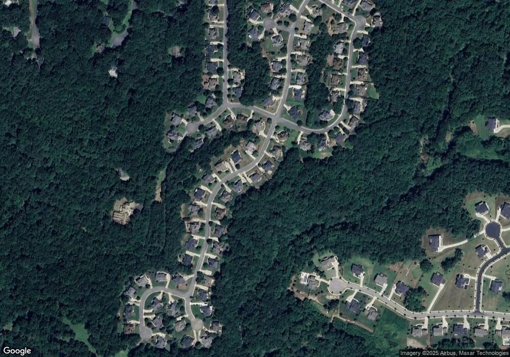
Map
Nearby Homes
- 930 Shepards Ct
- 1058 Arnold Mill Rd
- 1320 Cashiers Way
- 16180 Grand Litchfield Dr
- 1260 Cashiers Way
- 13530 Old Chadwick Ln
- 16140 Grand Litchfield Dr
- 239 Aberdeen Way
- 234 Aberdeen Way
- 13795 Arnold Mill Rd
- 210 River Laurel Way
- 0 Tribal Trail Unit 7650851
- 0 Tribal Trail Unit 10609732
- 130 Junaluska Dr
- 528 River Lakeside Ln
- 619 Stoney Creek Rd
- 440 Julie Anne Way
- 13585 Wood Fern Way
- 136 Plantation Trace
- 13565 Wood Fern Way
- 590 Devon Brooke Dr
- 594 Devon Brooke Dr Unit 4
- 588 Devon Brooke Dr
- 595 Devon Brooke Dr
- 596 Devon Brooke Dr
- 597 Devon Brooke Dr
- 593 Devon Brooke Dr
- 591 Devon Brooke Dr Unit 4
- 508 Brookeshyre Ct
- 598 Devon Brooke Dr
- 599 Devon Brooke Dr
- 589 Devon Brooke Dr
- 584 Devon Brooke Dr
- 502 Brookeshyre Ct Unit II
- 301 River Laurel Way
- 500 Brookeshyre Ct
- 510 Brookeshyre Ct
- 303 River Laurel Way
- 587 Devon Brooke Dr
- 582 Devon Brooke Dr