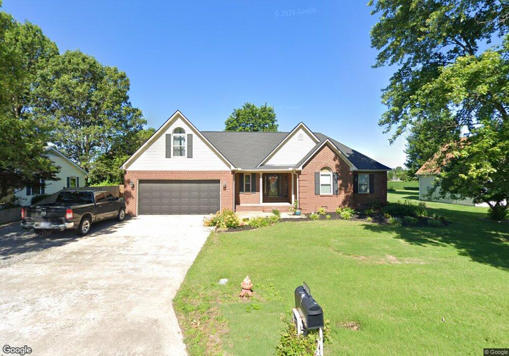
592 Enfield Rd Steele, MO 63877
Estimated Value: $201,000 - $235,000
Studio
--
Bath
2,759
Sq Ft
$81/Sq Ft
Est. Value
About This Home
This home is located at 592 Enfield Rd, Steele, MO 63877 and is currently estimated at $223,561, approximately $81 per square foot. 592 Enfield Rd is a home with nearby schools including Central Elementary School and South Pemiscot High School.
Ownership History
Date
Name
Owned For
Owner Type
Purchase Details
Closed on
Dec 4, 2024
Sold by
Mays Todd A and Mays Tonya
Bought by
Bivins Tremaine and Bivins Elizabeth
Current Estimated Value
Purchase Details
Closed on
Oct 11, 2023
Sold by
Carter John Mark and Carter Lisa K
Bought by
Cross Phillip Ray and Cross Deanna Lynn
Home Financials for this Owner
Home Financials are based on the most recent Mortgage that was taken out on this home.
Original Mortgage
$100,000
Interest Rate
7%
Mortgage Type
New Conventional
Create a Home Valuation Report for This Property
The Home Valuation Report is an in-depth analysis detailing your home's value as well as a comparison with similar homes in the area
Purchase History
| Date | Buyer | Sale Price | Title Company |
|---|---|---|---|
| Bivins Tremaine | -- | None Listed On Document | |
| Cross Phillip Ray | -- | Semo Title |
Source: Public Records
Mortgage History
| Date | Status | Borrower | Loan Amount |
|---|---|---|---|
| Previous Owner | Cross Phillip Ray | $100,000 | |
| Previous Owner | Cross Phillip Ray | $190,946 |
Source: Public Records
Tax History
| Year | Tax Paid | Tax Assessment Tax Assessment Total Assessment is a certain percentage of the fair market value that is determined by local assessors to be the total taxable value of land and additions on the property. | Land | Improvement |
|---|---|---|---|---|
| 2025 | $1,760 | $32,040 | $0 | $0 |
| 2024 | $18 | $31,160 | $0 | $0 |
| 2023 | $1,751 | $31,160 | $0 | $0 |
| 2022 | $1,692 | $30,210 | $0 | $0 |
| 2020 | $1,729 | $30,210 | $0 | $0 |
| 2019 | $1,611 | $30,210 | $0 | $0 |
| 2018 | $1,597 | $30,210 | $0 | $0 |
| 2017 | $1,606 | $30,210 | $0 | $0 |
| 2016 | -- | $30,210 | $0 | $0 |
| 2015 | -- | $30,210 | $0 | $0 |
| 2013 | -- | $30,240 | $0 | $0 |
Source: Public Records
Map
Nearby Homes
- 312 Missouri St
- 333 Missouri St
- 0 Missouri 164
- 317 Main St
- 107 Chickasaw St
- 201 Quapaw St
- 301 N Cooter Rd
- 3337 E County Road 70
- 0 County Road 406
- 141 Ramblewood Dr
- 5024 N 6th St
- 3201 S Ward Ave
- 203 E Plum St
- 835 Missouri 84
- 104 Wingate St
- 906 W 19th St
- 1205 Ward
- 34 S Wedgewood Dr
- 1110 Collins Ave
- 1013 & 1108 Normandy Ln Unit 721 W Adams St, 100
- 596 Enfield Rd
- 588 Enfield Rd
- 224 La Vista Rd
- 300 Manor Rd
- 600 Enfield Rd
- 304 Manor Rd
- 225 La Vista Rd
- 584 Enfield Rd
- 301 Manor Rd
- 310 Manor Rd
- 221 La Vista Rd
- 309 Manor Rd
- 217 La Vista Rd
- 314 Manor Rd
- 610 Enfield Rd
- 320 Washington St
- 212 La Vista Rd
- 318 Washington St
- 224 Lawrence Dr
- 213 La Vista Rd
Your Personal Tour Guide
Ask me questions while you tour the home.