Estimated Value: $107,000 - $193,000
2
Beds
2
Baths
1,270
Sq Ft
$122/Sq Ft
Est. Value
About This Home
This home is located at 592 Harper Rd, Cairo, GA 39827 and is currently estimated at $155,114, approximately $122 per square foot. 592 Harper Rd is a home located in Grady County with nearby schools including Cairo High School.
Ownership History
Date
Name
Owned For
Owner Type
Purchase Details
Closed on
Jan 30, 2012
Bought by
Norton Clayton L
Current Estimated Value
Purchase Details
Closed on
May 25, 2011
Sold by
Hudson Randall J
Bought by
Federal National Mortgag
Purchase Details
Closed on
Apr 5, 2011
Sold by
Bac Home Loans Servicing Lp
Bought by
Federal National Mortgage Association
Purchase Details
Closed on
Aug 4, 1995
Sold by
Forrester Paul
Bought by
Hudson Randall J
Purchase Details
Closed on
Jun 20, 1969
Bought by
Forrester Paul
Create a Home Valuation Report for This Property
The Home Valuation Report is an in-depth analysis detailing your home's value as well as a comparison with similar homes in the area
Purchase History
| Date | Buyer | Sale Price | Title Company |
|---|---|---|---|
| Norton Clayton L | $42,000 | -- | |
| Norton Clayton L | $42,000 | -- | |
| Federal National Mortgag | -- | -- | |
| Federal National Mortgage Association | $110,663 | -- | |
| Bac Home Loans Servicing Lp | $110,663 | -- | |
| Hudson Randall J | $44,900 | -- | |
| Forrester Paul | -- | -- |
Source: Public Records
Tax History
| Year | Tax Paid | Tax Assessment Tax Assessment Total Assessment is a certain percentage of the fair market value that is determined by local assessors to be the total taxable value of land and additions on the property. | Land | Improvement |
|---|---|---|---|---|
| 2024 | $1,156 | $48,115 | $15,623 | $32,492 |
| 2023 | $812 | $37,909 | $18,315 | $19,594 |
| 2022 | $809 | $37,909 | $18,315 | $19,594 |
| 2021 | $809 | $37,909 | $18,315 | $19,594 |
| 2020 | $1,175 | $37,909 | $18,315 | $19,594 |
| 2019 | $1,175 | $37,909 | $18,315 | $19,594 |
| 2018 | $1,103 | $37,909 | $18,315 | $19,594 |
| 2017 | $1,050 | $37,909 | $18,315 | $19,594 |
| 2016 | $979 | $35,131 | $18,315 | $16,816 |
| 2015 | $967 | $35,131 | $18,315 | $16,816 |
| 2014 | $968 | $35,131 | $18,315 | $16,816 |
| 2013 | -- | $36,167 | $20,603 | $15,563 |
Source: Public Records
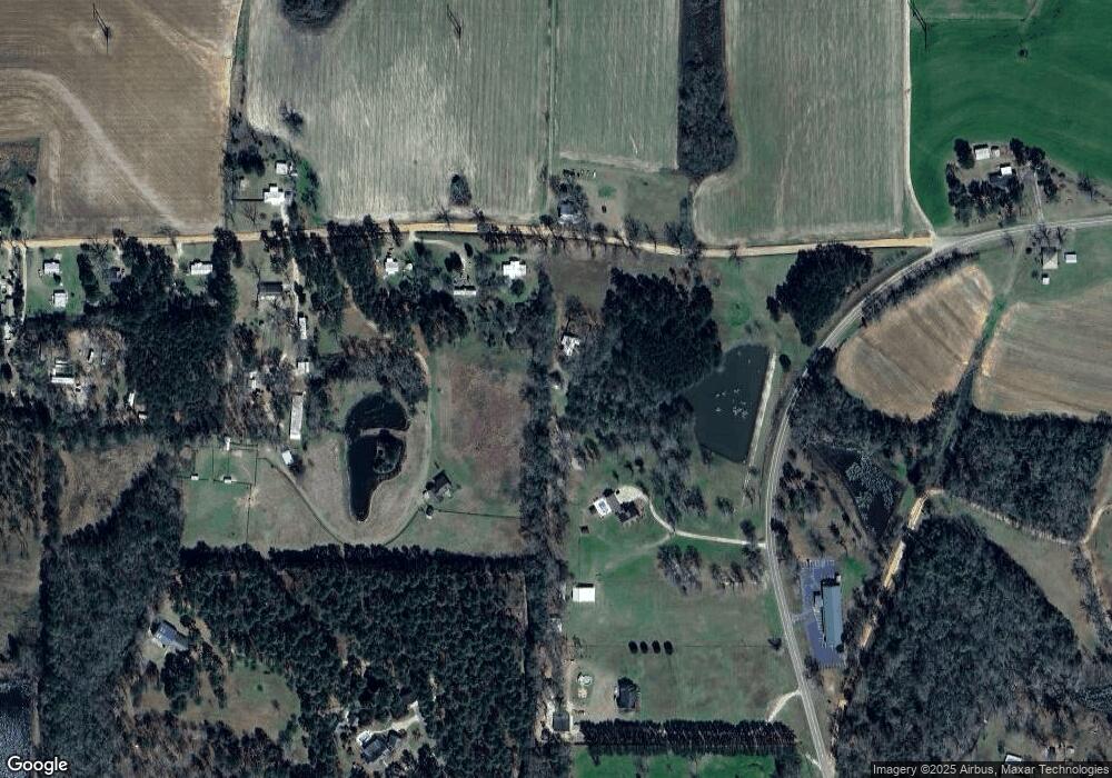
Map
Nearby Homes
- 414 Woodland Rd
- 00 State Route 188
- 0 State Route 188
- 3136 State Route 188
- 408 Bay Tree Rd NE
- 3109 U S 84
- 3109 U S 84
- 2690 U S 84
- 78.6 Ac Strickland Rd
- 1210 Elkins Rd
- 0 20th St NE
- 00 20th St NE
- 66 22nd St NE
- 21 24th St NE
- 2427 Pierce Chapel Rd
- 711 2nd Ave NE
- 2975 U S 84
- 1420 Parallel Dr NW
- 000 15th Ave Nw -- Tract 2
- 322 Woodridge Ln
- 592 Harper Rd Unit 1
- 599 Harper Rd
- 2401 Ga Highway 188 N
- 2401 State Route 188
- 574 Harper Rd
- 542 Harper Rd
- 542 Harper Rd Unit 1
- 558 Harper Rd
- 2378 Ga Highway 188 N
- 2493 Ga Highway 188 N
- 2367 Ga Highway 188 N
- 2502 Ga Highway 188 N
- 530 Harper Rd
- 531 Harper Rd
- 514 Harper Rd
- 2331 Ga Highway 188 N
- 3199 Ga Highway 188 N
- 496 Harper Rd
- 685 Harper Rd
- 2307 State Route 188
Your Personal Tour Guide
Ask me questions while you tour the home.