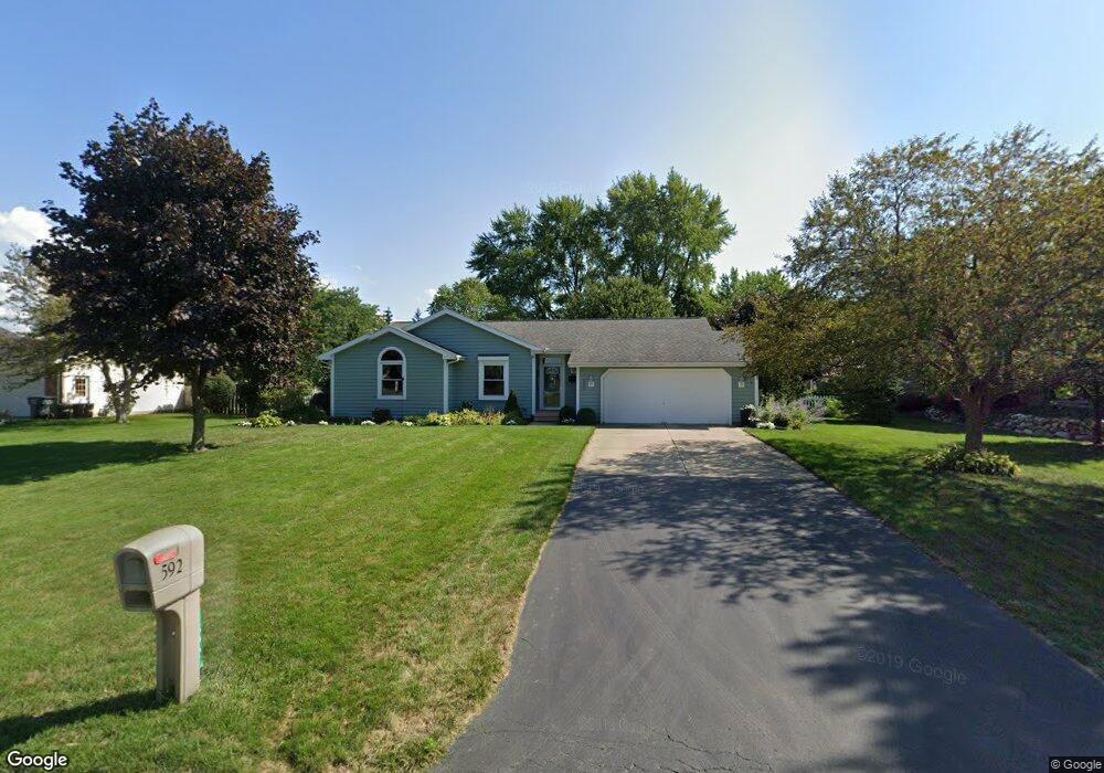
592 Royal Crest Dr Saint Joseph, MI 49085
Vineland NeighborhoodEstimated Value: $292,000 - $333,000
3
Beds
2
Baths
1,525
Sq Ft
$204/Sq Ft
Est. Value
About This Home
This home is located at 592 Royal Crest Dr, Saint Joseph, MI 49085 and is currently estimated at $310,953, approximately $203 per square foot. 592 Royal Crest Dr is a home located in Berrien County with nearby schools including Upton Middle School, St. Joseph High School, and Michigan Lutheran High School.
Ownership History
Date
Name
Owned For
Owner Type
Purchase Details
Closed on
Feb 25, 2016
Sold by
Emery Denise and Tillman Denise
Bought by
Emery Denise B
Current Estimated Value
Purchase Details
Closed on
Jun 29, 2012
Sold by
Emery Denise and Tillma Denise
Bought by
Bermudez Sal and Hickmott Rhonda Michelle
Purchase Details
Closed on
Sep 14, 2005
Sold by
Knapp Thomas G and Knapp Kathleen N
Bought by
Tillman Denise
Home Financials for this Owner
Home Financials are based on the most recent Mortgage that was taken out on this home.
Original Mortgage
$45,000
Interest Rate
5.93%
Mortgage Type
Fannie Mae Freddie Mac
Purchase Details
Closed on
Sep 28, 1995
Purchase Details
Closed on
Sep 27, 1995
Purchase Details
Closed on
Jan 13, 1995
Purchase Details
Closed on
Nov 27, 1991
Purchase Details
Closed on
May 21, 1986
Purchase Details
Closed on
Oct 16, 1980
Create a Home Valuation Report for This Property
The Home Valuation Report is an in-depth analysis detailing your home's value as well as a comparison with similar homes in the area
Home Values in the Area
Average Home Value in this Area
Purchase History
| Date | Buyer | Sale Price | Title Company |
|---|---|---|---|
| Emery Denise B | -- | Attorney | |
| Bermudez Sal | -- | None Available | |
| Tillman Denise | $162,000 | -- | |
| -- | $119,900 | -- | |
| -- | -- | -- | |
| -- | $110,000 | -- | |
| -- | $98,900 | -- | |
| -- | $4,300 | -- | |
| -- | -- | -- |
Source: Public Records
Mortgage History
| Date | Status | Borrower | Loan Amount |
|---|---|---|---|
| Previous Owner | Tillman Denise | $45,000 |
Source: Public Records
Tax History Compared to Growth
Tax History
| Year | Tax Paid | Tax Assessment Tax Assessment Total Assessment is a certain percentage of the fair market value that is determined by local assessors to be the total taxable value of land and additions on the property. | Land | Improvement |
|---|---|---|---|---|
| 2025 | $3,495 | $149,900 | $0 | $0 |
| 2024 | $2,131 | $147,100 | $0 | $0 |
| 2023 | $2,029 | $112,300 | $0 | $0 |
| 2022 | $1,933 | $106,300 | $0 | $0 |
| 2021 | $3,118 | $107,800 | $24,000 | $83,800 |
| 2020 | $2,763 | $102,200 | $0 | $0 |
| 2019 | $2,643 | $96,500 | $19,300 | $77,200 |
| 2018 | $2,532 | $96,500 | $0 | $0 |
| 2017 | $2,495 | $94,200 | $0 | $0 |
| 2016 | $2,436 | $91,500 | $0 | $0 |
| 2015 | $2,396 | $86,300 | $0 | $0 |
| 2014 | $1,632 | $83,000 | $0 | $0 |
Source: Public Records
Map
Nearby Homes
- 530 Manitou Rd
- 792 Lonesome Pine Trail
- 317 Maiden Ln
- 670 Marvin Ave
- 631 Marvin Ave
- 3215 Meade Ct
- 753 Lattimer Dr
- 940 Vineland Rd
- 3423 Niles Rd
- 2960 Niles Rd
- 398121 Anchors Way
- 649 Grant Ave
- 484 W Glenlord Rd
- 4010 Deja Dr
- 00 Niles Rd
- 3620 Katherine Ln Unit 1
- 3545 Wyndwicke Dr
- 1153 W Glenlord Rd Unit 22
- 2841 Niles Rd
- 3999 Deja Dr
- 608 Royal Crest Dr
- 572 Royal Crest Dr
- 575 Lonesome Pine Trail
- 591 Lonesome Pine Trail
- 593 Royal Crest Dr
- 568 Royal Crest Dr
- 577 Royal Crest Dr
- 3581 Arlington St
- 609 Royal Crest Dr
- 628 Royal Crest Dr
- 607 Lonesome Pine Trail
- 627 Royal Crest Dr
- 3568 Arbor St
- 569 Royal Crest Dr
- 3580 Arbor St
- 3594 Arlington St
- 3595 Arlington St
- 625 Lonesome Pine Trail
- 555 Royal Crest Dr
- 643 Royal Crest Dr