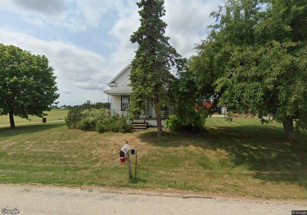
592 S Ronsman Rd Green Bay, WI 54311
Estimated Value: $361,000 - $541,000
--
Bed
--
Bath
--
Sq Ft
36.19
Acres
About This Home
This home is located at 592 S Ronsman Rd, Green Bay, WI 54311 and is currently estimated at $442,242. 592 S Ronsman Rd is a home located in Brown County with nearby schools including Baird Elementary School, Preble High School, and Royal Montessori Academy.
Ownership History
Date
Name
Owned For
Owner Type
Purchase Details
Closed on
Aug 28, 2008
Sold by
Klimczyk Mary Lou and Lorenz Lisa M
Bought by
Kroll Marty J and Kroll Amanda M
Current Estimated Value
Purchase Details
Closed on
Jun 23, 2006
Sold by
Klimczyk Mary Lou
Bought by
Klimczyk Mary Lou and Lorenz Lisa M
Home Financials for this Owner
Home Financials are based on the most recent Mortgage that was taken out on this home.
Original Mortgage
$201,000
Interest Rate
6.68%
Mortgage Type
Unknown
Purchase Details
Closed on
Jun 22, 2006
Sold by
Vanden Plas Myron J and Van Den Plas Catherine M
Bought by
Klimczyk Mary Lou
Home Financials for this Owner
Home Financials are based on the most recent Mortgage that was taken out on this home.
Original Mortgage
$201,000
Interest Rate
6.68%
Mortgage Type
Unknown
Create a Home Valuation Report for This Property
The Home Valuation Report is an in-depth analysis detailing your home's value as well as a comparison with similar homes in the area
Home Values in the Area
Average Home Value in this Area
Purchase History
| Date | Buyer | Sale Price | Title Company |
|---|---|---|---|
| Kroll Marty J | $300,000 | Lincoln Title Services Inc | |
| Klimczyk Mary Lou | $160,000 | Lincoln Title Services Inc | |
| Klimczyk Mary Lou | -- | Lincoln Title Services Inc |
Source: Public Records
Mortgage History
| Date | Status | Borrower | Loan Amount |
|---|---|---|---|
| Previous Owner | Klimczyk Mary Lou | $201,000 |
Source: Public Records
Tax History Compared to Growth
Tax History
| Year | Tax Paid | Tax Assessment Tax Assessment Total Assessment is a certain percentage of the fair market value that is determined by local assessors to be the total taxable value of land and additions on the property. | Land | Improvement |
|---|---|---|---|---|
| 2024 | $2,425 | $149,100 | $39,600 | $109,500 |
| 2023 | $2,349 | $148,100 | $38,600 | $109,500 |
| 2022 | $2,123 | $147,200 | $37,700 | $109,500 |
| 2021 | $2,183 | $146,800 | $37,300 | $109,500 |
| 2020 | $2,299 | $146,500 | $37,000 | $109,500 |
| 2019 | $2,272 | $146,300 | $36,800 | $109,500 |
| 2018 | $2,320 | $139,500 | $30,000 | $109,500 |
| 2017 | $2,229 | $140,400 | $30,000 | $110,400 |
| 2016 | $2,360 | $140,400 | $30,000 | $110,400 |
| 2015 | $2,336 | $147,900 | $37,500 | $110,400 |
| 2014 | $2,375 | $147,900 | $37,500 | $110,400 |
| 2013 | $2,375 | $147,900 | $37,500 | $110,400 |
Source: Public Records
Map
Nearby Homes
- 0 Phillips Rd
- 1073 Phillips Rd
- 3500 Finger Rd
- 4360 Cth Jj
- 0 Grandview Rd
- 0 Grandview Rd
- 0 Grandview Rd
- 0 Grandview Rd
- 5018 E Ronsman Rd
- 308 Erie Rd
- 300 Erie Rd
- 316 Erie Rd
- 0 Erie Rd Unit 50232624
- 0 Erie Rd Unit 50232623
- 911 Erie Rd
- 367 Eaglewood Trail
- 357 Eaglewood Trail
- 360 Eaglewood Trail
- 392 Eaglewood Trail
- 396 Eaglewood Trail
- 515 S Ronsman Rd
- 540 S Ronsman Rd
- 4710 Finger Rd
- 4747 Finger Rd
- 494 S Ronsman Rd
- 493 S Ronsman Rd
- 4750 Finger Rd
- 4607 Finger Rd
- 456 S Ronsman Rd
- 4620 Finger Rd
- 4585 Finger Rd
- 4770 Finger Rd
- 4793 Finger Rd
- 4790 Finger Rd
- 430 S Ronsman Rd
- 400 S Ronsman Rd Unit BLOCK
- 4821 Finger Rd
- 4800 Finger Rd
- 4841 Finger Rd
- 4820 Finger Rd