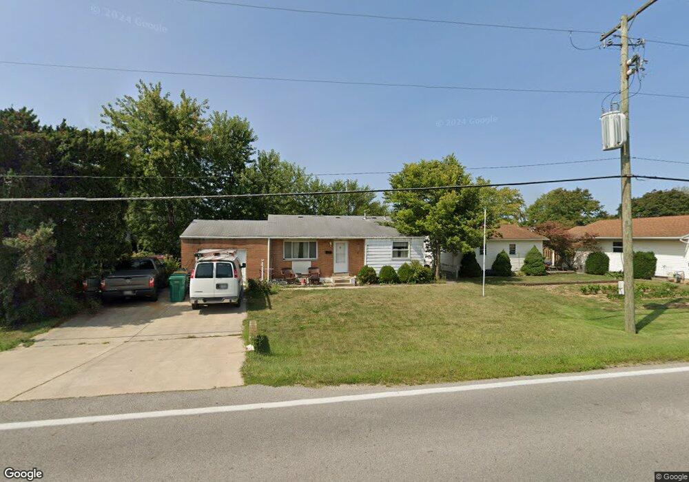
592 State Route 142 NE West Jefferson, OH 43162
Estimated Value: $247,908 - $275,000
3
Beds
2
Baths
1,848
Sq Ft
$138/Sq Ft
Est. Value
About This Home
This home is located at 592 State Route 142 NE, West Jefferson, OH 43162 and is currently estimated at $255,227, approximately $138 per square foot. 592 State Route 142 NE is a home located in Madison County with nearby schools including Norwood Elementary School, West Jefferson Middle School, and West Jefferson High School.
Ownership History
Date
Name
Owned For
Owner Type
Purchase Details
Closed on
Mar 28, 2000
Sold by
Mcfarland Lester R
Bought by
Bare Charles J
Current Estimated Value
Home Financials for this Owner
Home Financials are based on the most recent Mortgage that was taken out on this home.
Original Mortgage
$86,955
Outstanding Balance
$30,219
Interest Rate
8.43%
Mortgage Type
FHA
Estimated Equity
$225,008
Create a Home Valuation Report for This Property
The Home Valuation Report is an in-depth analysis detailing your home's value as well as a comparison with similar homes in the area
Home Values in the Area
Average Home Value in this Area
Purchase History
| Date | Buyer | Sale Price | Title Company |
|---|---|---|---|
| Bare Charles J | $87,000 | -- |
Source: Public Records
Mortgage History
| Date | Status | Borrower | Loan Amount |
|---|---|---|---|
| Open | Bare Charles J | $86,955 |
Source: Public Records
Tax History Compared to Growth
Tax History
| Year | Tax Paid | Tax Assessment Tax Assessment Total Assessment is a certain percentage of the fair market value that is determined by local assessors to be the total taxable value of land and additions on the property. | Land | Improvement |
|---|---|---|---|---|
| 2024 | $2,567 | $58,060 | $17,830 | $40,230 |
| 2023 | $2,567 | $58,060 | $17,830 | $40,230 |
| 2022 | $2,021 | $42,540 | $13,130 | $29,410 |
| 2021 | $2,029 | $42,540 | $13,130 | $29,410 |
| 2020 | $2,065 | $42,540 | $13,130 | $29,410 |
| 2019 | $1,959 | $39,750 | $11,750 | $28,000 |
| 2018 | $1,822 | $39,750 | $11,750 | $28,000 |
| 2017 | $1,508 | $39,750 | $11,750 | $28,000 |
| 2016 | $1,508 | $32,210 | $11,750 | $20,460 |
| 2015 | $1,509 | $32,210 | $11,750 | $20,460 |
| 2014 | $1,573 | $32,210 | $11,750 | $20,460 |
| 2013 | -- | $29,770 | $11,710 | $18,060 |
Source: Public Records
Map
Nearby Homes
- 555 Kirkwood Dr
- 908 Kingsdale Ct
- 304 Middle Dr
- 283 Madison Dr N
- 0 W Jeff Kiousville Rd Unit 225000725
- 106 Kings Way Unit 4
- 248 London Rd
- 200 Smith St
- 22 N Franklin St
- 277 Hathaway Rd
- 1000 W Main St Unit Lot 13
- 74 S Chester St
- 545 Trillium Dr
- 125 Dogwood Ct
- 312 Larkspur Dr
- 1615 Olmstead Rd
- 430 Trillium Dr
- 270 State Route 142 NE
- 360 State Route 142 NE
- 1890 Wilson Rd SE
- 592 London Rd
- 600 London Rd
- 600 State Route 142 NE
- 195 Westwood Ave
- 183 Westwood Ave
- 597 Crescent Dr
- 607 Crescent Dr
- 612 State Route 142 NE
- 612 London Rd
- 171 Westwood Ave
- 0 London Rd
- 615 Crescent Dr
- 620 State Route 142 NE
- 633 Crescent Dr
- 192 Westwood Dr
- 180 Westwood Dr
- 598 Crescent Dr
- 192 Westwood Ave
- 180 Westwood Ave
- 628 London Rd