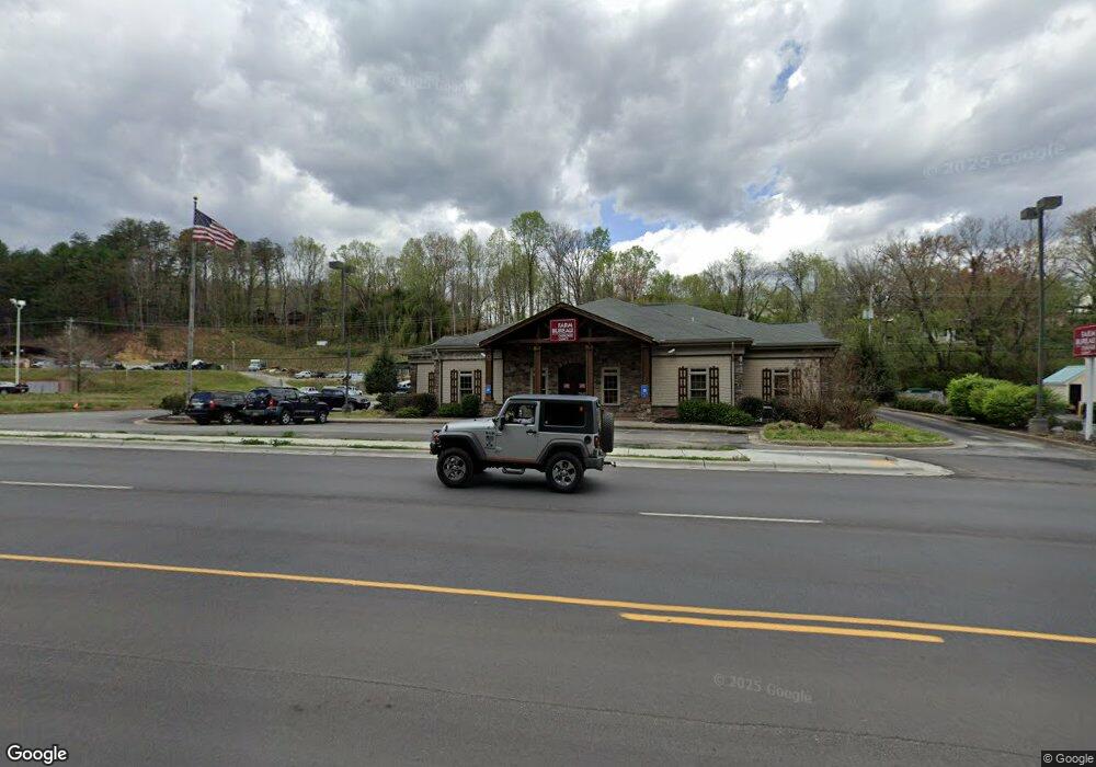
592 W Us Highway 64 Murphy, NC 28906
Estimated Value: $817,323
--
Bed
--
Bath
2,214
Sq Ft
$369/Sq Ft
Est. Value
About This Home
This home is located at 592 W Us Highway 64, Murphy, NC 28906 and is currently estimated at $817,323, approximately $369 per square foot. 592 W Us Highway 64 is a home located in Cherokee County with nearby schools including Murphy Elementary School, Murphy Middle School, and Murphy High School.
Ownership History
Date
Name
Owned For
Owner Type
Purchase Details
Closed on
Aug 10, 2021
Sold by
Russo Anthony and Croft Miriam
Bought by
Russo Anthony and Croft Brittany
Current Estimated Value
Purchase Details
Closed on
Apr 7, 2021
Sold by
Brightleaf Imaging Llc
Bought by
15Hrsaday Properties Llc
Home Financials for this Owner
Home Financials are based on the most recent Mortgage that was taken out on this home.
Original Mortgage
$588,960
Interest Rate
3%
Mortgage Type
Construction
Purchase Details
Closed on
Sep 1, 2012
Bought by
Brightleaf Imaging Llc
Purchase Details
Closed on
Jun 29, 2009
Sold by
Snyder Sheridan E
Bought by
Appalachian Community Bank
Purchase Details
Closed on
Feb 9, 2009
Sold by
Philo Steven E
Bought by
Ledford Evangeline A
Create a Home Valuation Report for This Property
The Home Valuation Report is an in-depth analysis detailing your home's value as well as a comparison with similar homes in the area
Home Values in the Area
Average Home Value in this Area
Purchase History
| Date | Buyer | Sale Price | Title Company |
|---|---|---|---|
| Russo Anthony | $270,000 | None Listed On Document | |
| 15Hrsaday Properties Llc | $595,000 | None Available | |
| Brightleaf Imaging Llc | $215,000 | -- | |
| Appalachian Community Bank | $700,000 | -- | |
| Ledford Evangeline A | $120,603 | -- |
Source: Public Records
Mortgage History
| Date | Status | Borrower | Loan Amount |
|---|---|---|---|
| Previous Owner | 15Hrsaday Properties Llc | $588,960 |
Source: Public Records
Tax History Compared to Growth
Tax History
| Year | Tax Paid | Tax Assessment Tax Assessment Total Assessment is a certain percentage of the fair market value that is determined by local assessors to be the total taxable value of land and additions on the property. | Land | Improvement |
|---|---|---|---|---|
| 2025 | $3,493 | $558,710 | $0 | $0 |
| 2024 | $3,493 | $558,710 | $0 | $0 |
| 2023 | $3,524 | $558,710 | $0 | $0 |
| 2022 | $3,524 | $577,660 | $0 | $0 |
| 2021 | $160 | $399,570 | $100,800 | $298,770 |
| 2020 | $1,838 | $399,570 | $0 | $0 |
| 2019 | $1,917 | $368,620 | $0 | $0 |
| 2018 | $2,096 | $403,000 | $0 | $0 |
| 2017 | $0 | $403,000 | $0 | $0 |
| 2016 | $2,096 | $403,000 | $0 | $0 |
| 2015 | $2,096 | $403,000 | $55,650 | $347,350 |
| 2012 | -- | $403,000 | $55,650 | $347,350 |
Source: Public Records
Map
Nearby Homes
- 155 Fort Butler St
- Lot 10 Holly Hill Ridge
- 727 Hiwassee St
- 43 Hitchcock St
- 805 Hiwassee St
- 1033 Cardinal Rd
- Lot 90 River Walk On the Hiwassee
- TBD Robin Rd
- 46 Robin Rd
- 44 Robin Rd
- 245 Roll Tide Dr
- Lot 56 Indian Rock Springs
- 0 Wolf Print Unit 153880
- 67 Noelle's Pass
- 94 Noelles Pass
- 70 Lakeside View Trail
- Lot 7 Whitleys Cove
- 67 Noelles Pass
- 118 Hot House Creek
- 49 Noelle's Pass
- 592 W Us Highway 64
- 592 U S 64
- 176 Old Ranger Rd
- 1.4 ACRE Old Ranger Road (In City Limits)
- 10 Skyline Dr
- 89 Fort Butler St
- 75 Fort Butler St
- 230 Old Ranger Rd
- 63 Fort Butler St
- 6 Skyline Dr
- 20 Fort Butler St
- 19 Fort Butler St
- 18 Fort Butler St
- 17 Fort Butler St
- 16 Fort Butler St
- 14 Fort Butler St
- 13 Fort Butler St
- 12 Fort Butler St
- 11 Fort Butler St
- 10 Fort Butler St