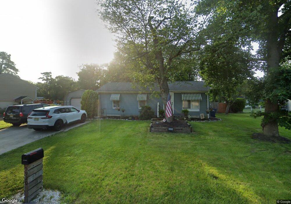
5920 Maple Dr Mays Landing, NJ 08330
Estimated Value: $241,671 - $295,000
--
Bed
--
Bath
960
Sq Ft
$281/Sq Ft
Est. Value
About This Home
This home is located at 5920 Maple Dr, Mays Landing, NJ 08330 and is currently estimated at $270,224, approximately $281 per square foot. 5920 Maple Dr is a home located in Atlantic County with nearby schools including Joseph Shaner School, George L. Hess Educational Complex, and William Davies Middle School.
Ownership History
Date
Name
Owned For
Owner Type
Purchase Details
Closed on
Jul 28, 2023
Sold by
Tavarez Suzanne
Bought by
Hagedorn Christopher J and Tavarez Sarah C
Current Estimated Value
Home Financials for this Owner
Home Financials are based on the most recent Mortgage that was taken out on this home.
Original Mortgage
$142,401
Outstanding Balance
$139,046
Interest Rate
6.63%
Mortgage Type
FHA
Estimated Equity
$131,178
Purchase Details
Closed on
Apr 28, 2023
Sold by
Cameron Bruce J
Bought by
Tavarez Suzanne
Purchase Details
Closed on
Aug 13, 1984
Bought by
Cameron Bruce J
Create a Home Valuation Report for This Property
The Home Valuation Report is an in-depth analysis detailing your home's value as well as a comparison with similar homes in the area
Home Values in the Area
Average Home Value in this Area
Purchase History
| Date | Buyer | Sale Price | Title Company |
|---|---|---|---|
| Hagedorn Christopher J | $164,650 | Fidelity National Title | |
| Tavarez Suzanne | -- | None Listed On Document | |
| Cameron Bruce J | -- | -- |
Source: Public Records
Mortgage History
| Date | Status | Borrower | Loan Amount |
|---|---|---|---|
| Open | Hagedorn Christopher J | $142,401 |
Source: Public Records
Tax History Compared to Growth
Tax History
| Year | Tax Paid | Tax Assessment Tax Assessment Total Assessment is a certain percentage of the fair market value that is determined by local assessors to be the total taxable value of land and additions on the property. | Land | Improvement |
|---|---|---|---|---|
| 2025 | $4,773 | $139,100 | $49,400 | $89,700 |
| 2024 | $4,773 | $139,100 | $49,400 | $89,700 |
| 2023 | $4,487 | $139,100 | $49,400 | $89,700 |
| 2022 | $4,487 | $139,100 | $49,400 | $89,700 |
| 2021 | $4,478 | $139,100 | $49,400 | $89,700 |
| 2020 | $4,478 | $139,100 | $49,400 | $89,700 |
| 2019 | $4,489 | $139,100 | $49,400 | $89,700 |
| 2018 | $4,332 | $139,100 | $49,400 | $89,700 |
| 2017 | $4,263 | $139,100 | $49,400 | $89,700 |
| 2016 | $4,144 | $139,100 | $49,400 | $89,700 |
| 2015 | $4,003 | $139,100 | $49,400 | $89,700 |
| 2014 | $4,017 | $152,900 | $54,400 | $98,500 |
Source: Public Records
Map
Nearby Homes
- 5910 Somerset Dr
- 5906 Vine Dr
- 5910 Redwood Ct
- 5926 Berry Dr
- 55 Lewis Dr
- 40 Vender Ln
- 18 Lewis Dr
- 94 Merlino Ln
- 000 Apple St
- 0 Apple St
- 42 Ernst Ct
- Bl 531 Lot 8&9 Adams Ave
- 0 Cape May Ave
- Lot:11.02-12.02 Estelle Ave
- B:534 L:11.01 Estelle Ave
- B:534 L:12.02 Estelle Ave
- B:534 L:11.02 Estelle Ave
- 22 Ernst Ct
- 1st First Ave
- Rt 50 and Old Mays Landing Rd
- 5918 Maple Dr
- 5922 Maple Dr
- 5911 Mulberry Dr
- 5909 Mulberry Dr
- 5913 Mulberry Dr
- 5916 Maple Dr
- 5906 Somerset Dr
- 5907 Mulberry Dr
- 5915 Mulberry Dr
- 5913 Maple Dr
- 5914 Maple Dr
- 5915 Maple Dr
- 5911 Maple Dr
- 5904 Somerset Dr
- 5905 Mulberry Dr
- 5917 Mulberry Dr
- 5924 Maple Dr
- 5912 Maple Dr
- 5909 Maple Dr
- 5907 Somerset Dr