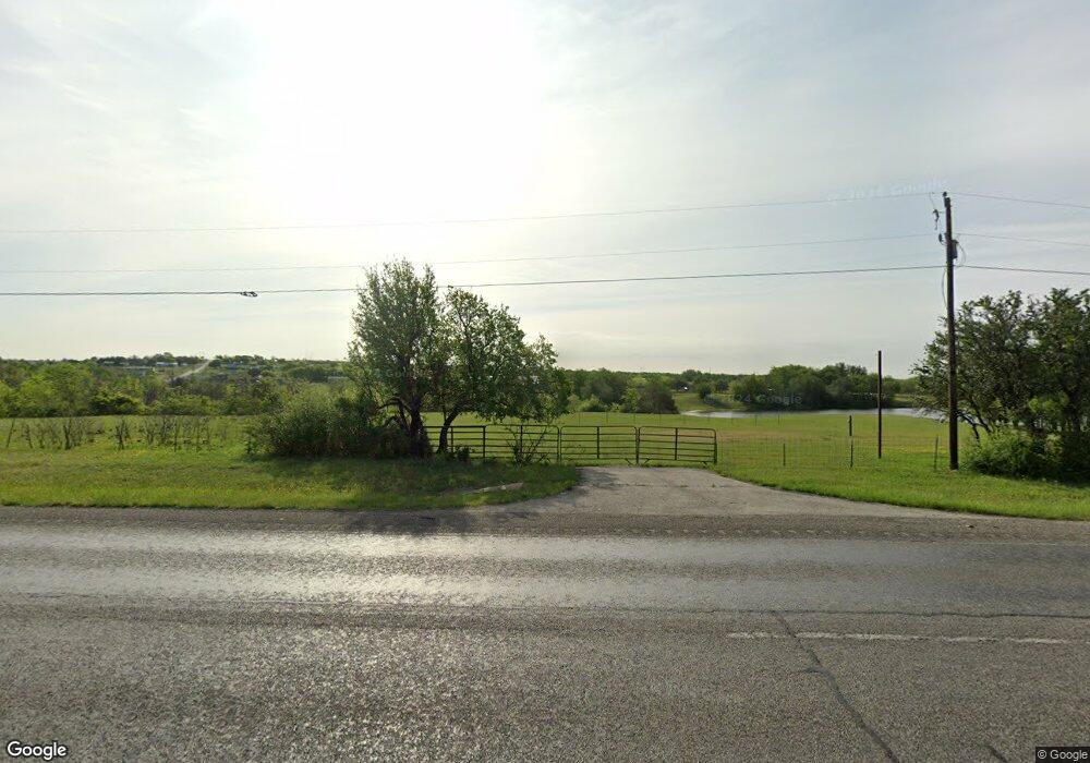
5920 N Fm 51 Unit A Weatherford, TX 76085
Estimated Value: $658,000
3
Beds
2
Baths
2,550
Sq Ft
$258/Sq Ft
Est. Value
About This Home
This home is located at 5920 N Fm 51 Unit A, Weatherford, TX 76085 and is currently estimated at $658,000, approximately $258 per square foot. 5920 N Fm 51 Unit A is a home located in Parker County with nearby schools including Crockett Elementary School, Tison Middle School, and Weatherford High School.
Ownership History
Date
Name
Owned For
Owner Type
Purchase Details
Closed on
Apr 25, 2013
Sold by
Carter William A and Carter Jean
Bought by
Renfro James and Renfro Ann
Current Estimated Value
Home Financials for this Owner
Home Financials are based on the most recent Mortgage that was taken out on this home.
Original Mortgage
$270,019
Outstanding Balance
$53,341
Interest Rate
2.84%
Mortgage Type
FHA
Estimated Equity
$604,659
Purchase Details
Closed on
Jan 1, 1901
Bought by
Renfro James and Renfro Ann
Create a Home Valuation Report for This Property
The Home Valuation Report is an in-depth analysis detailing your home's value as well as a comparison with similar homes in the area
Home Values in the Area
Average Home Value in this Area
Purchase History
| Date | Buyer | Sale Price | Title Company |
|---|---|---|---|
| Renfro James | -- | None Available | |
| Renfro James | -- | -- |
Source: Public Records
Mortgage History
| Date | Status | Borrower | Loan Amount |
|---|---|---|---|
| Open | Renfro James | $270,019 |
Source: Public Records
Tax History Compared to Growth
Tax History
| Year | Tax Paid | Tax Assessment Tax Assessment Total Assessment is a certain percentage of the fair market value that is determined by local assessors to be the total taxable value of land and additions on the property. | Land | Improvement |
|---|---|---|---|---|
| 2025 | $6,945 | $335,490 | $49,870 | $285,620 |
| 2024 | $6,945 | $426,310 | $44,490 | $381,820 |
| 2023 | $6,945 | $413,180 | $44,490 | $368,690 |
| 2022 | $5,192 | $287,210 | $32,280 | $254,930 |
| 2021 | $5,107 | $287,120 | $32,190 | $254,930 |
| 2020 | $4,675 | $248,600 | $21,780 | $226,820 |
| 2019 | $4,534 | $248,600 | $21,780 | $226,820 |
| 2018 | $4,143 | $199,760 | $16,660 | $183,100 |
| 2017 | $3,844 | $199,760 | $16,660 | $183,100 |
| 2016 | $3,494 | $157,420 | $16,660 | $140,760 |
| 2015 | $3,064 | $157,420 | $16,660 | $140,760 |
| 2014 | $3,007 | $151,370 | $15,770 | $135,600 |
Source: Public Records
Map
Nearby Homes
- 332 Water View Ln
- 143 Carter Hills Ln
- 342 Rising View Ct
- 151 Kriston Ln
- 1024 Sunny Ct
- TBD Murray Rd
- 1040 Ray's Way
- 134 Blue Valley Ct
- 514 Blue Sky Ct
- 113 Draper Dr
- 265 Dill Rd
- 6371 Prather Rd
- 178 Valley Lake Ln
- 108 Grant Alan Ct
- 1835 Carter Rd
- 109 Grant Alan Ct
- 105 Grant Alan Ct
- 1933 Carter Rd
- 122 Blue Moon Ct
- 5885-A Old Springtown Rd
- 5920 N Fm 51
- 413 Water View Ct
- 406 Water View Ct
- 324 Water View Ln
- 401 Water View Ct
- 316 Water View Ln
- 308 Water View Ln
- 331 Water View Ln
- 140 Carter Hills Ln
- 349 Water View Ln
- 323 Water View Ln
- 144 Carter Hills Ln
- 315 Water View Ln
- 307 Water View Ln
- 138 Carter Hills Ln
- 150 Carter Hills Ln
- 336 Carter View Ct
- 330 Carter View Ln
- 324 Carter View Ct
- 342 Carter View Ct
