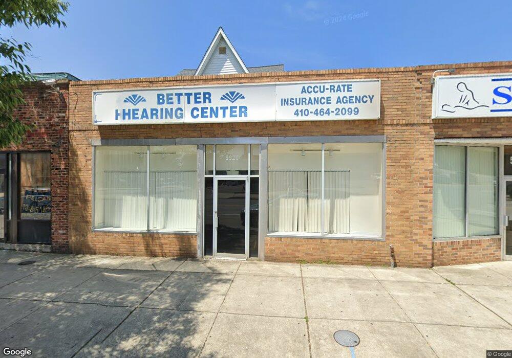
5920 York Rd Baltimore, MD 21212
Rosebank NeighborhoodEstimated Value: $562,485
Studio
--
Bath
3,613
Sq Ft
$156/Sq Ft
Est. Value
About This Home
This home is located at 5920 York Rd, Baltimore, MD 21212 and is currently estimated at $562,485, approximately $155 per square foot. 5920 York Rd is a home located in Baltimore City with nearby schools including Roland Park Elementary/Middle School, Booker T. Washington Middle School, and Paul Laurence Dunbar High School.
Ownership History
Date
Name
Owned For
Owner Type
Purchase Details
Closed on
Jun 14, 2022
Sold by
L A H B Llc
Bought by
Pj Enterprises Llc
Current Estimated Value
Purchase Details
Closed on
Jan 24, 1995
Sold by
M & W Ptshp
Bought by
L A H B Llc
Home Financials for this Owner
Home Financials are based on the most recent Mortgage that was taken out on this home.
Original Mortgage
$130,000
Interest Rate
9.16%
Mortgage Type
Commercial
Create a Home Valuation Report for This Property
The Home Valuation Report is an in-depth analysis detailing your home's value as well as a comparison with similar homes in the area
Home Values in the Area
Average Home Value in this Area
Purchase History
| Date | Buyer | Sale Price | Title Company |
|---|---|---|---|
| Pj Enterprises Llc | $500,000 | American Land Title | |
| Pj Enterprises Llc | $500,000 | American Land Title | |
| L A H B Llc | $145,000 | -- |
Source: Public Records
Mortgage History
| Date | Status | Borrower | Loan Amount |
|---|---|---|---|
| Previous Owner | L A H B Llc | $130,000 |
Source: Public Records
Tax History
| Year | Tax Paid | Tax Assessment Tax Assessment Total Assessment is a certain percentage of the fair market value that is determined by local assessors to be the total taxable value of land and additions on the property. | Land | Improvement |
|---|---|---|---|---|
| 2025 | $8,174 | $398,433 | -- | -- |
| 2024 | $8,174 | $348,000 | $78,600 | $269,400 |
| 2023 | $8,052 | $342,800 | $0 | $0 |
| 2022 | $7,967 | $337,600 | $0 | $0 |
| 2021 | $7,845 | $332,400 | $78,600 | $253,800 |
| 2020 | $7,400 | $313,567 | $0 | $0 |
| 2019 | $6,922 | $294,733 | $0 | $0 |
| 2018 | $6,248 | $275,900 | $78,600 | $197,300 |
| 2017 | $5,980 | $263,533 | $0 | $0 |
| 2016 | $5,664 | $251,167 | $0 | $0 |
| 2015 | $5,664 | $238,800 | $0 | $0 |
| 2014 | $5,664 | $238,800 | $0 | $0 |
Source: Public Records
Map
Nearby Homes
- 437,439,441,443,&445 Kenneth Square
- 705 E Lake Ave
- 5806 Halwyn Ave
- 5802 Clearspring Rd
- 5728 Govane Ave
- 326 Saint Dunstans Rd
- 5706 Bellona Ave
- 411 Gittings Ave
- 5646 Govane Ave
- 5627 Ready Ave
- 518 Harwood Ave
- 5602 Purlington Way
- 608 Harwood Ave
- 726 Highwood Dr
- 912 Evesham Ave
- 830 Saint Dunstans Rd
- 443 Schwartz Ave
- 316 Tunbridge Rd
- 502 Tunbridge Rd
- 1010 Reverdy Rd
- 5926 York Rd Unit UPSTAIRS UNIT
- 5926 York Rd
- 5914 York Rd
- 433 Hutchins Ave
- 5928 York Rd
- 431 Hutchins Ave
- 429 Hutchins Ave
- 5924 York Rd
- 428 Hutchins Ave
- 5917 York Rd
- 5921 York Rd
- 5913 York Rd
- 5919 York Rd
- 430 E Belvedere Ave
- 5910 York Rd Unit 2ND FLOOR
- 5910 York Rd
- 426 Hutchins Ave
- 424 Hutchins Ave
- 426 Howil Terrace
- 431 E Belvedere Ave