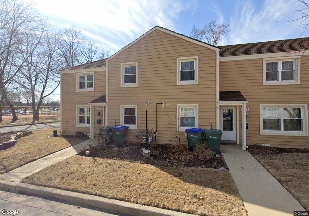
5921 Dale Ln Unit 2 Greendale, WI 53129
Estimated Value: $339,000 - $387,000
--
Bed
--
Bath
2,258
Sq Ft
$159/Sq Ft
Est. Value
About This Home
This home is located at 5921 Dale Ln Unit 2, Greendale, WI 53129 and is currently estimated at $359,432, approximately $159 per square foot. 5921 Dale Ln Unit 2 is a home located in Milwaukee County with nearby schools including Canterbury Elementary School, Greendale Middle School, and Greendale High School.
Ownership History
Date
Name
Owned For
Owner Type
Purchase Details
Closed on
Jun 20, 2003
Sold by
Loughrin Gene G and Loughrin Sheryl A
Bought by
Repnik Elizabeth
Current Estimated Value
Home Financials for this Owner
Home Financials are based on the most recent Mortgage that was taken out on this home.
Original Mortgage
$135,000
Outstanding Balance
$57,331
Interest Rate
5.36%
Mortgage Type
Purchase Money Mortgage
Estimated Equity
$302,101
Create a Home Valuation Report for This Property
The Home Valuation Report is an in-depth analysis detailing your home's value as well as a comparison with similar homes in the area
Home Values in the Area
Average Home Value in this Area
Purchase History
| Date | Buyer | Sale Price | Title Company |
|---|---|---|---|
| Repnik Elizabeth | $180,000 | -- |
Source: Public Records
Mortgage History
| Date | Status | Borrower | Loan Amount |
|---|---|---|---|
| Open | Repnik Elizabeth | $135,000 |
Source: Public Records
Tax History Compared to Growth
Tax History
| Year | Tax Paid | Tax Assessment Tax Assessment Total Assessment is a certain percentage of the fair market value that is determined by local assessors to be the total taxable value of land and additions on the property. | Land | Improvement |
|---|---|---|---|---|
| 2024 | $5,250 | $303,100 | $46,900 | $256,200 |
| 2023 | $4,441 | $242,000 | $46,900 | $195,100 |
| 2022 | $4,485 | $242,000 | $46,900 | $195,100 |
| 2021 | $4,005 | $167,100 | $41,900 | $125,200 |
| 2020 | $4,037 | $167,100 | $41,900 | $125,200 |
| 2019 | $4,006 | $167,100 | $41,900 | $125,200 |
| 2018 | $4,360 | $167,100 | $41,900 | $125,200 |
| 2017 | $3,910 | $160,400 | $40,300 | $120,100 |
| 2016 | $3,877 | $160,400 | $40,300 | $120,100 |
| 2015 | $4,423 | $173,300 | $40,300 | $133,000 |
| 2014 | $4,394 | $173,300 | $40,300 | $133,000 |
| 2013 | $5,024 | $173,300 | $40,300 | $133,000 |
Source: Public Records
Map
Nearby Homes
- 5905 Dendron Ln
- 6190 W Loomis Rd
- 6240 W College Ave
- 6230 W College Ave Unit 29
- 5508 Serene Ct Unit 10
- 5107 Russell Ct E
- 5221 W Loomis Rd Unit 5221
- 5445 Wild Cherry Cir
- 4848 S 76th St
- 5005 W Loomis Rd
- 8866 Greenmeadow Ln
- 7701 W Barnard Ave
- 4739 W Edgerton Ave
- 4300 W Grange Ave Unit 8
- 8782 Woodbridge Dr
- 5732 W Rawson Ave
- 4225 W Grange Ave Unit 4225
- 4129 W College Ave
- 4661 S 72nd St
- 4111 W Grange Ave
- 5920 Dale Ln
- 5918 Dale Ln
- 5917 Dale Ln Unit 1
- 5916 Dale Ln
- 5915 Dale Ln
- 5920 Dendron Ln Unit 2
- 5913 Dale Ln
- 5916 Dendron Ln Unit 1
- 5912 Dale Ln
- 5914 Dale Ln
- 5914 Dendron Ln
- 5912 Dendron Ln
- 5911 Dale Ln
- 5909 Dale Ln Unit 1
- 5921 Dendron Ln
- 5908 Dendron Ln
- 5910 Dendron Ln
- 5923 Dendron Ln
- 5915 Dendron Ln
- 5910 Dale Ln