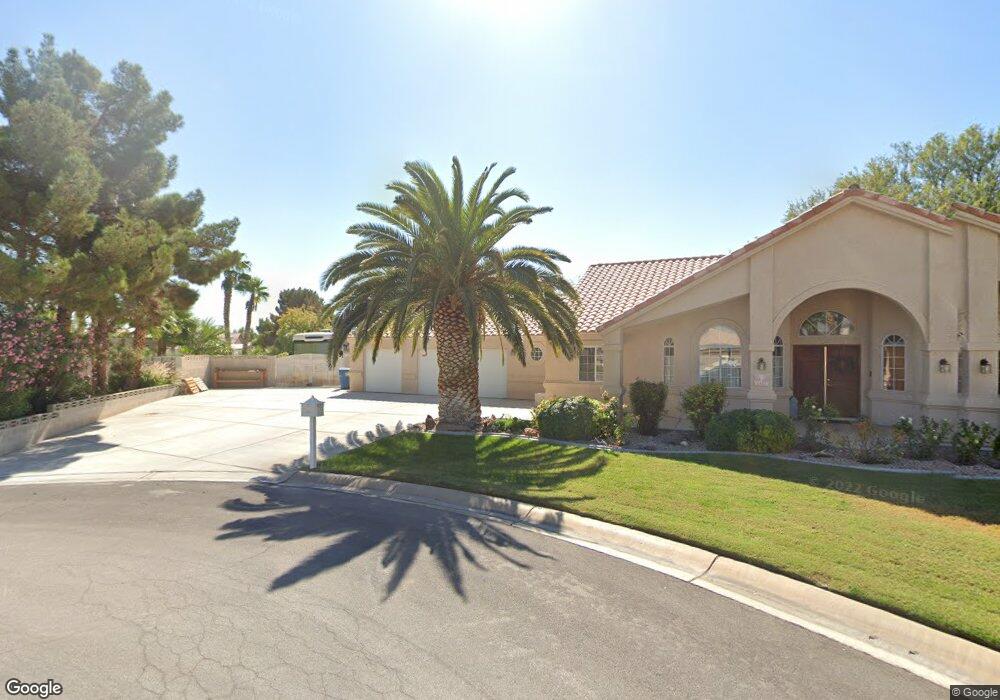
5921 N Bronco St Las Vegas, NV 89130
North Cheyenne NeighborhoodEstimated Value: $577,000 - $628,000
3
Beds
3
Baths
2,120
Sq Ft
$285/Sq Ft
Est. Value
About This Home
This home is located at 5921 N Bronco St, Las Vegas, NV 89130 and is currently estimated at $604,745, approximately $285 per square foot. 5921 N Bronco St is a home located in Clark County with nearby schools including Joseph M Neal Elementary School, Anthony Saville Middle School, and Shadow Ridge High School.
Ownership History
Date
Name
Owned For
Owner Type
Purchase Details
Closed on
Sep 14, 1995
Sold by
Starlite Development Corp
Bought by
Pringle Bryan E and Pringle Therese A C
Current Estimated Value
Home Financials for this Owner
Home Financials are based on the most recent Mortgage that was taken out on this home.
Original Mortgage
$146,400
Interest Rate
7.88%
Create a Home Valuation Report for This Property
The Home Valuation Report is an in-depth analysis detailing your home's value as well as a comparison with similar homes in the area
Home Values in the Area
Average Home Value in this Area
Purchase History
| Date | Buyer | Sale Price | Title Company |
|---|---|---|---|
| Pringle Bryan E | $183,000 | Land Title |
Source: Public Records
Mortgage History
| Date | Status | Borrower | Loan Amount |
|---|---|---|---|
| Closed | Pringle Bryan E | $146,400 |
Source: Public Records
Tax History Compared to Growth
Tax History
| Year | Tax Paid | Tax Assessment Tax Assessment Total Assessment is a certain percentage of the fair market value that is determined by local assessors to be the total taxable value of land and additions on the property. | Land | Improvement |
|---|---|---|---|---|
| 2025 | $2,530 | $148,304 | $61,250 | $87,054 |
| 2024 | $2,456 | $148,304 | $61,250 | $87,054 |
| 2023 | $1,974 | $138,352 | $56,000 | $82,352 |
| 2022 | $2,385 | $119,377 | $43,750 | $75,627 |
| 2021 | $2,316 | $114,213 | $42,000 | $72,213 |
| 2020 | $2,245 | $110,071 | $38,500 | $71,571 |
| 2019 | $2,147 | $96,026 | $26,250 | $69,776 |
| 2018 | $2,085 | $95,627 | $28,000 | $67,627 |
| 2017 | $2,938 | $89,616 | $26,250 | $63,366 |
| 2016 | $1,974 | $89,647 | $21,000 | $68,647 |
| 2015 | $1,970 | $60,583 | $19,250 | $41,333 |
| 2014 | $1,912 | $56,607 | $12,250 | $44,357 |
Source: Public Records
Map
Nearby Homes
- 6099 Ryan Ranch Ave
- 5940 Jasper Ridge St
- 5832 Farnsworth Pond Ave
- 5845 Thai Coast St
- 6245 Hawthorn Woods Ave
- 6116 Cottontail Cove St
- 6124 Arwells Corner Ct
- 6128 Rabbit Track St
- 5808 Spinnaker Reach Ave
- 6400 W El Campo Grande Ave
- 6141 Markleham Ave
- 5635 Portage Lake Ct
- 6132 Peggotty Ave
- 6101 Port of Dreams Dr
- 6204 Muirlands Ct
- 6201 Eagle Crossing St
- 6500 Bullring Ln
- 5831 Rebecca Rd
- 6527 Lokai Ave
- 5517 Rock Creek Ln
- 5920 Maverick St
- 5941 N Bronco St
- 5911 N Bronco St
- 6240 Corbett St
- 6250 Corbett St
- 5951 N Bronco St
- 5940 Maverick St
- 6230 Corbett St
- 5910 Maverick St
- 6241 W Tropical Pkwy
- 6260 Corbett St
- 6260 Corbett St Unit none
- 6231 W Tropical Pw Pkwy
- 6231 W Tropical Pkwy
- 5950 Maverick St
- 5969 Collin Crossing St
- 6251 W Tropical Pkwy
- 5941 Collin Crossing St
- 5983 Collin Crossing St
- 6246 Chandon Ct