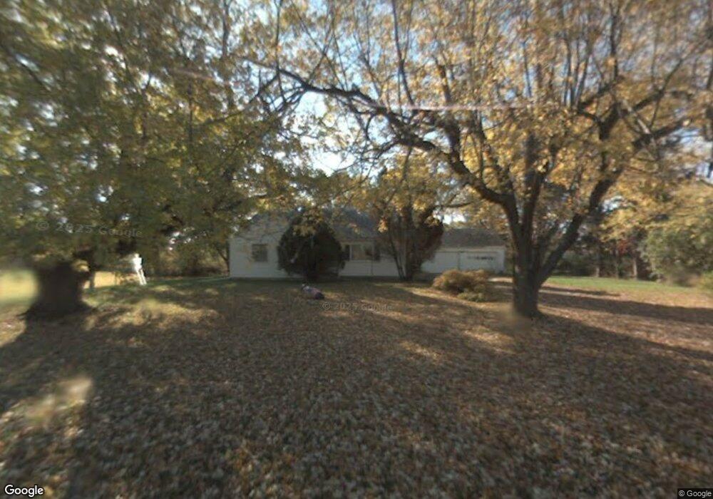
5921 W State Rd Lansing, MI 48906
Estimated Value: $206,830 - $278,000
3
Beds
1
Bath
1,473
Sq Ft
$161/Sq Ft
Est. Value
About This Home
This home is located at 5921 W State Rd, Lansing, MI 48906 and is currently estimated at $237,708, approximately $161 per square foot. 5921 W State Rd is a home located in Clinton County with nearby schools including Waverly Senior High School and St. Gerard Elementary School.
Ownership History
Date
Name
Owned For
Owner Type
Purchase Details
Closed on
Aug 27, 2009
Sold by
Wintjen Jaxine L and Wilkinson Douglas E
Bought by
Pulver Kevin
Current Estimated Value
Home Financials for this Owner
Home Financials are based on the most recent Mortgage that was taken out on this home.
Original Mortgage
$69,310
Outstanding Balance
$45,535
Interest Rate
5.28%
Mortgage Type
New Conventional
Estimated Equity
$192,173
Create a Home Valuation Report for This Property
The Home Valuation Report is an in-depth analysis detailing your home's value as well as a comparison with similar homes in the area
Home Values in the Area
Average Home Value in this Area
Purchase History
| Date | Buyer | Sale Price | Title Company |
|---|---|---|---|
| Pulver Kevin | $65,000 | Tri County Title Agency Llc |
Source: Public Records
Mortgage History
| Date | Status | Borrower | Loan Amount |
|---|---|---|---|
| Open | Pulver Kevin | $69,310 |
Source: Public Records
Tax History Compared to Growth
Tax History
| Year | Tax Paid | Tax Assessment Tax Assessment Total Assessment is a certain percentage of the fair market value that is determined by local assessors to be the total taxable value of land and additions on the property. | Land | Improvement |
|---|---|---|---|---|
| 2025 | $2,364 | $75,900 | $25,250 | $50,650 |
| 2024 | $696 | $71,200 | $23,000 | $48,200 |
| 2023 | $659 | $63,800 | $0 | $0 |
| 2022 | $2,153 | $59,250 | $18,100 | $41,150 |
| 2021 | $2,122 | $58,200 | $18,200 | $40,000 |
| 2020 | $2,077 | $55,250 | $17,200 | $38,050 |
| 2019 | $2,033 | $51,900 | $16,200 | $35,700 |
| 2018 | $1,969 | $52,950 | $15,350 | $37,600 |
| 2017 | $1,931 | $53,350 | $15,150 | $38,200 |
| 2016 | $1,931 | $51,500 | $14,350 | $37,150 |
| 2015 | $1,883 | $47,050 | $0 | $0 |
| 2011 | -- | $51,100 | $0 | $0 |
Source: Public Records
Map
Nearby Homes
- V/L N Grove
- 6157 W Stoll Rd
- Lot 3a Rachael Fairfax Dr
- Lot 1a Rachael Fairfax Dr
- 15260 Nottingham Fields Pkwy
- 15250 Nottingham Fields Pkwy
- 15332 Sherwood Ln
- 15312 Sherwood Ln
- 15317 Sherwood Ln
- 15292 Sherwood Ln
- 15895 Turnberry St
- 15240 Nottingham Fields Pkwy
- 15347 Sherwood Ln
- 15277 Sherwood Ln
- 5754 River Ridge Dr
- 15080 Loxley Ln Unit 21
- 6333 Larocque Cir
- 6361 Larocque Cir
- 2212 Holiday Ln
- 7837 W Grand
- 16045 S Lowell Rd
- 15963 S Lowell Rd
- 15980 S Lowell Rd
- 15905 S Lowell Rd
- 16131 S Lowell Rd
- 15910 S Lowell Rd
- 16237 S Lowell Rd
- 15920 S Lowell Rd
- 16020 S Lowell Rd
- 5889 W State Rd
- 16140 S Lowell Rd
- 5860 W State Rd
- 15851 S Lowell Rd
- 16225 S Lowell Rd
- 15880 S Lowell Rd
- 15854 S Lowell Rd
- 16240 S Lowell Rd
- 15803 S Lowell Rd
- 16271 S Lowell Rd
- 16272 S Lowell Rd