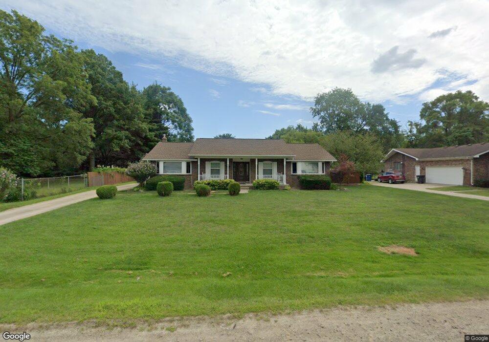
5922 Huff St Unit Bldg-Unit Westland, MI 48185
Estimated Value: $302,918 - $340,000
--
Bed
2
Baths
1,809
Sq Ft
$179/Sq Ft
Est. Value
About This Home
This home is located at 5922 Huff St Unit Bldg-Unit, Westland, MI 48185 and is currently estimated at $324,480, approximately $179 per square foot. 5922 Huff St Unit Bldg-Unit is a home located in Wayne County with nearby schools including P.D. Graham Elementary School, Marshall Upper Elementary School, and Adlai Stevenson Middle School.
Ownership History
Date
Name
Owned For
Owner Type
Purchase Details
Closed on
Feb 2, 2018
Sold by
Charles Timothy G and Charles Tammie L
Bought by
Benavides Anthony Ramon
Current Estimated Value
Home Financials for this Owner
Home Financials are based on the most recent Mortgage that was taken out on this home.
Original Mortgage
$149,925
Outstanding Balance
$126,973
Interest Rate
3.99%
Mortgage Type
New Conventional
Estimated Equity
$197,507
Purchase Details
Closed on
Jun 9, 1995
Sold by
Tom R Collard
Bought by
Charles Timothy G and Charles Tammie L
Create a Home Valuation Report for This Property
The Home Valuation Report is an in-depth analysis detailing your home's value as well as a comparison with similar homes in the area
Home Values in the Area
Average Home Value in this Area
Purchase History
| Date | Buyer | Sale Price | Title Company |
|---|---|---|---|
| Benavides Anthony Ramon | $199,900 | None Available | |
| Charles Timothy G | $125,000 | -- |
Source: Public Records
Mortgage History
| Date | Status | Borrower | Loan Amount |
|---|---|---|---|
| Open | Benavides Anthony Ramon | $149,925 |
Source: Public Records
Tax History Compared to Growth
Tax History
| Year | Tax Paid | Tax Assessment Tax Assessment Total Assessment is a certain percentage of the fair market value that is determined by local assessors to be the total taxable value of land and additions on the property. | Land | Improvement |
|---|---|---|---|---|
| 2025 | $4,472 | $150,800 | $0 | $0 |
| 2024 | $4,472 | $144,900 | $0 | $0 |
| 2023 | $4,270 | $131,800 | $0 | $0 |
| 2022 | $4,858 | $114,100 | $0 | $0 |
| 2021 | $4,736 | $110,300 | $0 | $0 |
| 2020 | $4,683 | $99,900 | $0 | $0 |
| 2019 | $4,515 | $92,000 | $0 | $0 |
| 2018 | $2,908 | $90,200 | $0 | $0 |
| 2017 | $1,211 | $89,100 | $0 | $0 |
| 2016 | $3,614 | $90,200 | $0 | $0 |
| 2015 | $7,165 | $77,650 | $0 | $0 |
| 2013 | $6,941 | $70,790 | $0 | $0 |
| 2012 | $3,089 | $73,400 | $0 | $0 |
Source: Public Records
Map
Nearby Homes
- 5834 Morley St
- 6013 N Newburgh Rd
- 5889 N Globe St
- 5692 N Globe St
- 6026 Wilmer St
- 37186 Amhurst Dr Unit 5
- 38201 Carolon Blvd Unit 17B
- 0 Dowling Ave
- 38247 Carolon Blvd Unit 12C
- 2260 N Hix Rd Unit 1C
- 38066 Sherwood St
- 6541 Pembrook Dr
- 38030 Greenwood St
- 38343 Carolon Blvd
- 38302 Warner Farms Dr Unit 24
- 1750 N Hix Rd
- 38074 Hixford Place
- 38122 Hixford Place
- 977 N Newburgh Rd
- 37575 Barkridge Cir Unit 54