5922 Keith Rd Alliance, NE 69301
Estimated Value: $256,000 - $428,938
5
Beds
2
Baths
2,535
Sq Ft
$133/Sq Ft
Est. Value
About This Home
This home is located at 5922 Keith Rd, Alliance, NE 69301 and is currently estimated at $336,646, approximately $132 per square foot. 5922 Keith Rd is a home located in Box Butte County with nearby schools including Alliance High School.
Create a Home Valuation Report for This Property
The Home Valuation Report is an in-depth analysis detailing your home's value as well as a comparison with similar homes in the area
Home Values in the Area
Average Home Value in this Area
Tax History Compared to Growth
Tax History
| Year | Tax Paid | Tax Assessment Tax Assessment Total Assessment is a certain percentage of the fair market value that is determined by local assessors to be the total taxable value of land and additions on the property. | Land | Improvement |
|---|---|---|---|---|
| 2024 | $3,254 | $330,430 | $34,820 | $295,610 |
| 2023 | $4,677 | $323,430 | $27,820 | $295,610 |
| 2022 | $4,295 | $281,895 | $27,820 | $254,075 |
| 2021 | $4,322 | $281,895 | $27,820 | $254,075 |
| 2020 | $3,930 | $253,430 | $27,820 | $225,610 |
| 2019 | $3,840 | $255,230 | $29,620 | $225,610 |
| 2018 | $3,565 | $240,020 | $27,180 | $212,840 |
| 2017 | $3,637 | $240,056 | $27,216 | $212,840 |
| 2016 | $3,595 | $240,116 | $27,216 | $212,900 |
| 2015 | $3,799 | $260,822 | $23,894 | $236,928 |
| 2014 | $3,799 | $239,259 | $21,894 | $217,365 |
Source: Public Records
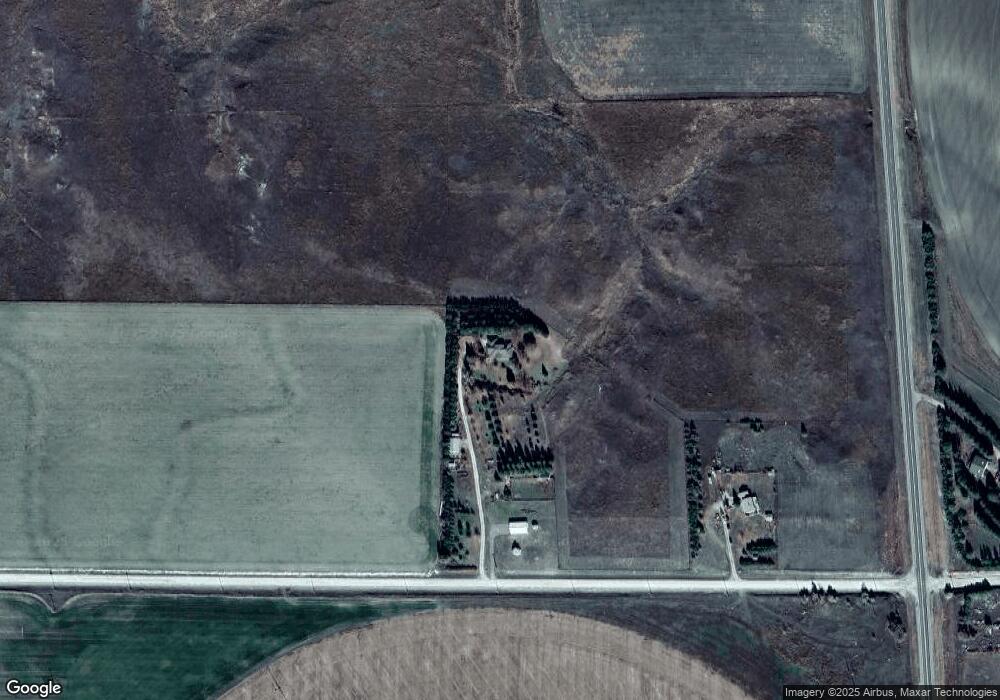
Map
Nearby Homes
- Lot 7 Highway 385
- Lot 6 Highway 385
- Lot 2 Highway 385
- Lot 5 Highway 385
- Lot 1 Highway 385
- 7681 Johnson Rd
- 2912 Cheyenne Dr
- 6401 Lincoln Rd
- 2039 Niobrara Ave
- 672 W 20th St
- 20th St Emerson Ave To Colorado Ave
- 1231 Missouri Ave
- 1239 Toluca Ave
- 1232 Emerson Ave
- 1232 Cheyenne Ave
- 1120 Potash Ave
- 1019 Laramie Ave
- 1004 Missouri Ave
- 1021 Dakota Ave
- 917 Missouri Ave