59222 S 4726 Rd Colcord, OK 74338
Estimated Value: $298,000 - $393,000
4
Beds
3
Baths
2,044
Sq Ft
$175/Sq Ft
Est. Value
About This Home
This home is located at 59222 S 4726 Rd, Colcord, OK 74338 and is currently estimated at $357,019, approximately $174 per square foot. 59222 S 4726 Rd is a home with nearby schools including Watts Elementary School and Watts High School.
Ownership History
Date
Name
Owned For
Owner Type
Purchase Details
Closed on
Jun 24, 2024
Sold by
Payton Harvey Walter
Bought by
Harvey Walter Payton Revocable Family Trust and Payton
Current Estimated Value
Purchase Details
Closed on
Apr 10, 2024
Sold by
Payton Harvey Walter
Bought by
Harvey Walter Payton Revocable Family Trust and Payton
Purchase Details
Closed on
Aug 31, 2005
Sold by
Payton Harvey and Payton Connie
Bought by
Payton Harvey
Create a Home Valuation Report for This Property
The Home Valuation Report is an in-depth analysis detailing your home's value as well as a comparison with similar homes in the area
Home Values in the Area
Average Home Value in this Area
Purchase History
| Date | Buyer | Sale Price | Title Company |
|---|---|---|---|
| Harvey Walter Payton Revocable Family Trust | -- | None Listed On Document | |
| Harvey Walter Payton Revocable Family Trust | -- | None Listed On Document | |
| Payton Harvey | -- | -- |
Source: Public Records
Tax History Compared to Growth
Tax History
| Year | Tax Paid | Tax Assessment Tax Assessment Total Assessment is a certain percentage of the fair market value that is determined by local assessors to be the total taxable value of land and additions on the property. | Land | Improvement |
|---|---|---|---|---|
| 2025 | $814 | $13,145 | $518 | $12,627 |
| 2024 | $814 | $13,144 | $1,062 | $12,082 |
| 2023 | $814 | $12,761 | $1,062 | $11,699 |
| 2022 | $832 | $12,390 | $1,062 | $11,328 |
| 2021 | $831 | $12,390 | $1,062 | $11,328 |
| 2020 | $827 | $12,330 | $1,033 | $11,297 |
| 2019 | $801 | $11,972 | $1,026 | $10,946 |
| 2018 | $749 | $11,622 | $243 | $11,379 |
| 2017 | $744 | $11,560 | $243 | $11,317 |
| 2016 | $721 | $11,223 | $243 | $10,980 |
| 2015 | $688 | $10,896 | $243 | $10,653 |
| 2014 | $688 | $10,758 | $243 | $10,515 |
Source: Public Records
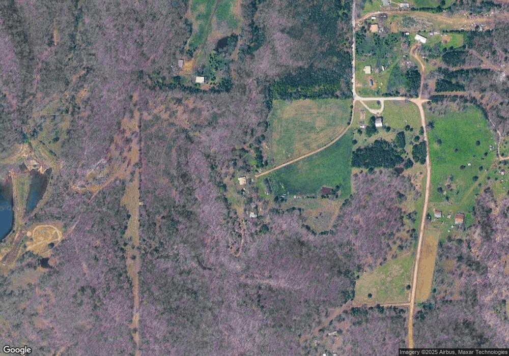
Map
Nearby Homes
- 5773 Cedar Dr
- 5978 Cedar Dr
- 369 S Cherry St
- 306 N Moseley Rd
- Tract A Highway 412 (10 Ac Mol)
- TRACT B
- 840 N Moseley Rd
- 847 Snyder Springs Loop
- 0 W 412 Hwy Unit 1308057
- 880 Snyder Springs Loop
- 975 Snyder Springs Loop
- 939 Snyder Springs Loop
- 991 Snyder Springs Loop
- 934 Snyder Springs Loop
- 944 Snyder Springs Loop
- 58 Snyder Springs Cir
- 20724 E 578 Rd
- 8302 Covenant Cove
- 59879 S 4700 Rd
- 0 Highway 412 Unit 1299184
- 59151 S 4726 Rd
- 472573 E 591 Rd
- 59496 S 4720 Rd
- 58823 County Road 717
- 312 Rr 2
- 58710 County Road 717
- 842 Rr 2
- 1094 S White Oak Rd
- 59633 S 4731 Rd
- 58621 County Road 717
- 0 4720 Rd Unit 19-225
- 0 4720 Rd Unit 1101729
- 21622 E 590 (Off South Mosley Road) Rd
- 59633 S 4731 Rd
- 58594 County Road 717
- 21698 E 590 Rd
- 518 N4710
- 21622 E 590 Rd
- 471496 E 590 Rd
- 740 S White Oak Rd