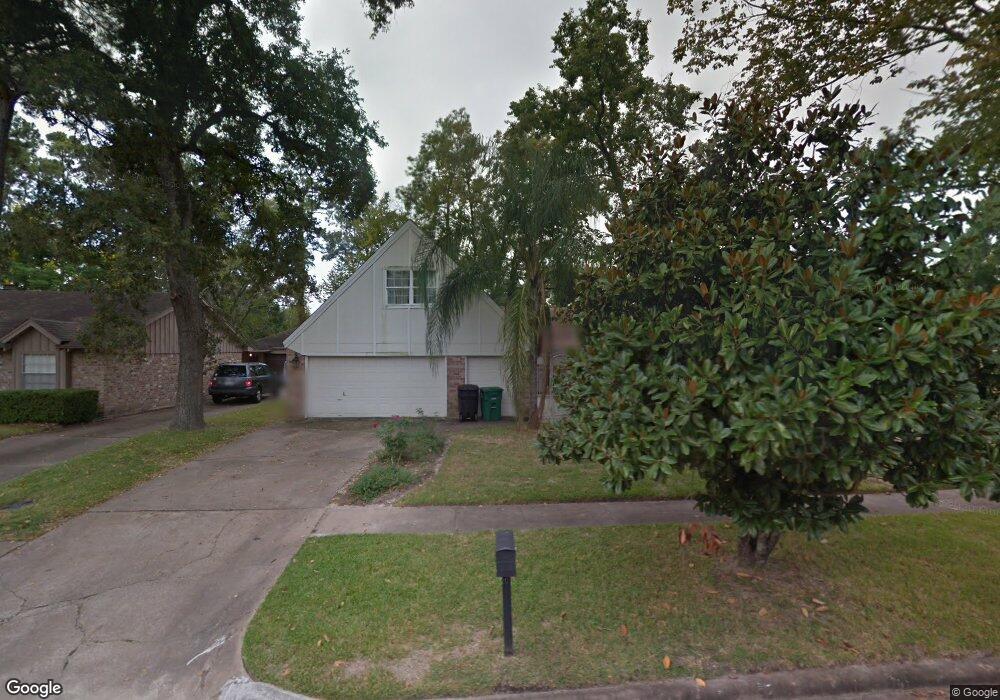
5923 Darkwood Dr Houston, TX 77088
Greater Inwood NeighborhoodEstimated Value: $187,000 - $379,000
3
Beds
2
Baths
1,804
Sq Ft
$169/Sq Ft
Est. Value
About This Home
This home is located at 5923 Darkwood Dr, Houston, TX 77088 and is currently estimated at $304,289, approximately $168 per square foot. 5923 Darkwood Dr is a home located in Harris County with nearby schools including Edward a Vines EC/Pre-K/K School, J. Ruth Smith Elementary, and Hoffman Middle School.
Ownership History
Date
Name
Owned For
Owner Type
Purchase Details
Closed on
Jun 3, 2019
Sold by
Diaz Miguel P and Diaz Maria G
Bought by
Harris County Flood Control District
Current Estimated Value
Purchase Details
Closed on
Dec 23, 1998
Sold by
Stanfield John and Stanfield Jack
Bought by
Diaz Miguel P and Diaz Maria G
Home Financials for this Owner
Home Financials are based on the most recent Mortgage that was taken out on this home.
Original Mortgage
$95,150
Interest Rate
6.85%
Mortgage Type
FHA
Create a Home Valuation Report for This Property
The Home Valuation Report is an in-depth analysis detailing your home's value as well as a comparison with similar homes in the area
Home Values in the Area
Average Home Value in this Area
Purchase History
| Date | Buyer | Sale Price | Title Company |
|---|---|---|---|
| Harris County Flood Control District | $220,000 | South Land Title Llc | |
| Diaz Miguel P | -- | Stewart Title |
Source: Public Records
Mortgage History
| Date | Status | Borrower | Loan Amount |
|---|---|---|---|
| Previous Owner | Diaz Miguel P | $95,150 | |
| Closed | Diaz Miguel P | $4,500 |
Source: Public Records
Tax History Compared to Growth
Tax History
| Year | Tax Paid | Tax Assessment Tax Assessment Total Assessment is a certain percentage of the fair market value that is determined by local assessors to be the total taxable value of land and additions on the property. | Land | Improvement |
|---|---|---|---|---|
| 2025 | -- | -- | -- | -- |
| 2024 | -- | -- | -- | -- |
| 2023 | $384 | $33,048 | $33,048 | $0 |
| 2022 | $793 | $33,048 | $33,048 | $0 |
| 2021 | $436 | $17,350 | $17,350 | $0 |
| 2020 | $458 | $17,350 | $17,350 | $0 |
| 2019 | $3,740 | $156,696 | $17,350 | $139,346 |
| 2018 | $748 | $143,116 | $17,350 | $125,766 |
| 2017 | $2,963 | $143,116 | $17,350 | $125,766 |
| 2016 | $2,693 | $119,610 | $17,350 | $102,260 |
| 2015 | $1,822 | $119,610 | $17,350 | $102,260 |
| 2014 | $1,822 | $109,656 | $17,350 | $92,306 |
Source: Public Records
Map
Nearby Homes
- 5907 Darkwood Dr
- 5906 Lawn Ln
- 7526 Antoine Dr
- 5914 Lawn Ln
- 6918 Bent Branch Dr
- 7014 Bent Branch Dr
- 7211 Deep Forest Dr
- 6931 Wagonwheel Ln
- 6202 Wagonwheel Cir
- 0 Maple Hill Dr
- 7606 Victory Dr
- 5710 Council Grove Ln
- 4444 Victory Dr Unit 1311
- 4444 Victory Dr Unit 1108
- 7146 Bayou Forest Dr
- 5639 Council Grove Ln
- 7727 Green Lawn Dr
- 5606 Water Leaf Ln
- 7728 Challie Ln
- 7750 Green Lawn Dr
- 5919 Darkwood Dr
- 5927 Darkwood Dr
- 5931 Darkwood Dr
- 5915 Darkwood Dr
- 5918 Darkwood Dr
- 5914 Darkwood Dr
- 5935 Darkwood Dr
- 5911 Darkwood Dr
- 5930 Darkwood Dr
- 5910 Darkwood Dr
- 5934 Darkwood Dr
- 5939 Darkwood Dr
- 7506 Brushy Ct
- 7507 Brushy Ct
- 5938 Darkwood Dr
- 7503 Deep Forest Dr
- 7507 Deep Forest Dr
- 7510 Brushy Ct
- 7511 Brushy Ct
- 5903 Darkwood Dr