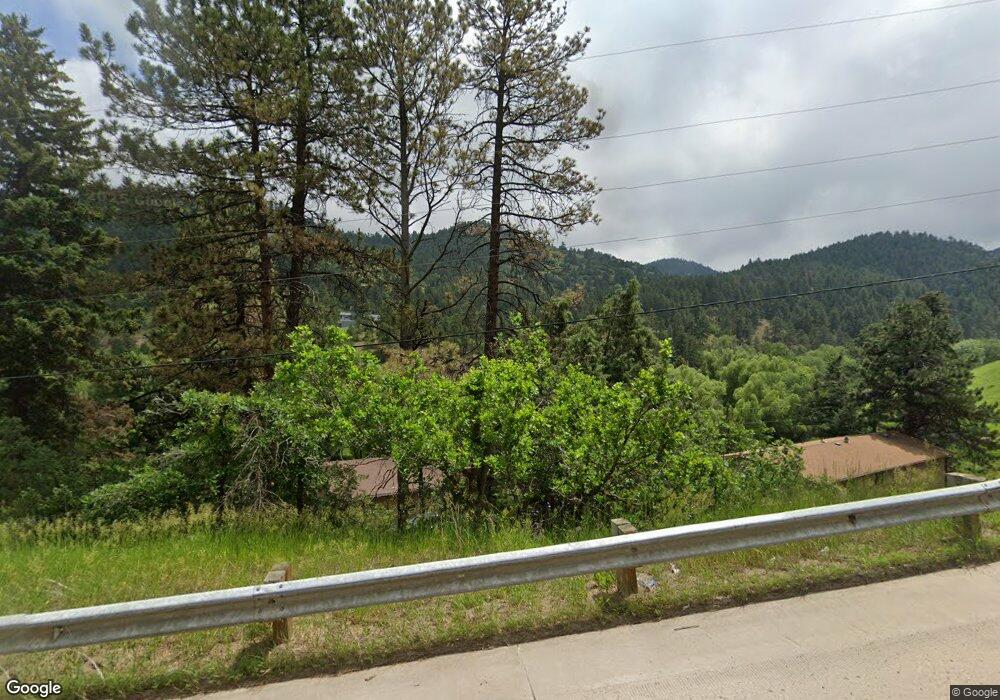
5924 Us Highway 285 Morrison, CO 80465
Deer Creek NeighborhoodEstimated Value: $865,000 - $1,282,000
7
Beds
3
Baths
3,113
Sq Ft
$322/Sq Ft
Est. Value
About This Home
This home is located at 5924 Us Highway 285, Morrison, CO 80465 and is currently estimated at $1,001,018, approximately $321 per square foot. 5924 Us Highway 285 is a home located in Jefferson County with nearby schools including Parmalee Elementary School, West Jefferson Middle School, and Conifer Senior High School.
Ownership History
Date
Name
Owned For
Owner Type
Purchase Details
Closed on
Dec 30, 2024
Sold by
Corbett Joseph Gerard and Corbett Tracey
Bought by
Summit Couloir Llc
Current Estimated Value
Purchase Details
Closed on
Feb 18, 2011
Sold by
Corbett Enterprises Inc
Bought by
Corbett Joseph Gerard and Corbett Tracey
Home Financials for this Owner
Home Financials are based on the most recent Mortgage that was taken out on this home.
Original Mortgage
$150,000
Interest Rate
4.78%
Mortgage Type
New Conventional
Create a Home Valuation Report for This Property
The Home Valuation Report is an in-depth analysis detailing your home's value as well as a comparison with similar homes in the area
Home Values in the Area
Average Home Value in this Area
Purchase History
| Date | Buyer | Sale Price | Title Company |
|---|---|---|---|
| Summit Couloir Llc | $790,000 | Htc | |
| Corbett Joseph Gerard | -- | Tt |
Source: Public Records
Mortgage History
| Date | Status | Borrower | Loan Amount |
|---|---|---|---|
| Previous Owner | Corbett Joseph Gerard | $150,000 |
Source: Public Records
Tax History
| Year | Tax Paid | Tax Assessment Tax Assessment Total Assessment is a certain percentage of the fair market value that is determined by local assessors to be the total taxable value of land and additions on the property. | Land | Improvement |
|---|---|---|---|---|
| 2024 | $5,101 | $56,935 | $9,428 | $47,507 |
| 2023 | $5,101 | $56,935 | $9,428 | $47,507 |
| 2022 | $4,023 | $44,268 | $6,645 | $37,623 |
| 2021 | $4,057 | $45,542 | $6,837 | $38,705 |
| 2020 | $3,586 | $40,368 | $4,801 | $35,567 |
| 2019 | $3,534 | $40,368 | $4,801 | $35,567 |
| 2018 | $3,292 | $36,428 | $5,408 | $31,020 |
| 2017 | $2,882 | $36,428 | $5,408 | $31,020 |
| 2016 | $2,698 | $31,828 | $4,732 | $27,096 |
| 2015 | $2,193 | $31,828 | $4,732 | $27,096 |
| 2014 | $2,193 | $24,230 | $5,094 | $19,136 |
Source: Public Records
Map
Nearby Homes
- 5704 Santa Clara Rd
- 22196 Boar Head Rd
- 6530 Ridgeview Dr
- 6333 Starlight Dr
- 0 Raven Gulch Rd Unit 23872430
- 0 Raven Gulch Rd Unit I-3
- 6498 S Turkey Creek Rd
- 5162 Raven Gulch Rd
- 5211 Parmalee Gulch Rd
- 5296 Cherokee Rd
- 6387 High Dr
- 6616 High Dr
- 22354 Park Ln
- 7262 S Sourdough Dr
- 22637 Shawnee Rd
- 5312 Adahi Rd
- 7307 S Settlers Dr
- 30 W Ranch Trail
- 7552 Surrey Dr
- 7333 Plowsher Way
- 5899 S Turkey Creek Rd
- 0 Brookmont
- 5929 S Turkey Creek Rd
- 5868 S Turkey Creek Rd
- 20400 Brookmont
- 20390 Brookmont
- 5948 S Turkey Creek Rd
- 5858 S Turkey Creek Rd
- 20330 Brookmont
- 5958 S Turkey Creek Rd
- 20350 Brookmont
- 20300 Brookmont
- 6009 S Turkey Creek Rd
- 20370 Brookmont
- 20361 Brookmont
- 20371 Brookmont
- 6205 Us Highway 285
- 6129 S Turkey Creek Rd
- 5692 Santa Clara Rd
- 5702 Santa Clara Rd
Your Personal Tour Guide
Ask me questions while you tour the home.