Estimated Value: $793,000 - $965,000
Studio
--
Bath
3,512
Sq Ft
$241/Sq Ft
Est. Value
About This Home
This home is located at 59242 E 301 Rd, Grove, OK 74344 and is currently estimated at $846,852, approximately $241 per square foot. 59242 E 301 Rd is a home located in Delaware County with nearby schools including Grove Lower Elementary School, Grove Upper Elementary School, and Grove Middle School.
Ownership History
Date
Name
Owned For
Owner Type
Purchase Details
Closed on
Nov 29, 2011
Sold by
Churchwell Thomas D and Churchwell Sandra D
Bought by
Churchwell Thomas D and Churchwell Sandra D
Current Estimated Value
Home Financials for this Owner
Home Financials are based on the most recent Mortgage that was taken out on this home.
Original Mortgage
$160,000
Outstanding Balance
$16,302
Interest Rate
4.14%
Mortgage Type
New Conventional
Estimated Equity
$830,550
Create a Home Valuation Report for This Property
The Home Valuation Report is an in-depth analysis detailing your home's value as well as a comparison with similar homes in the area
Home Values in the Area
Average Home Value in this Area
Purchase History
| Date | Buyer | Sale Price | Title Company |
|---|---|---|---|
| Churchwell Thomas D | -- | None Available | |
| Churchwell Thomas D | -- | None Available |
Source: Public Records
Mortgage History
| Date | Status | Borrower | Loan Amount |
|---|---|---|---|
| Open | Churchwell Thomas D | $160,000 |
Source: Public Records
Tax History
| Year | Tax Paid | Tax Assessment Tax Assessment Total Assessment is a certain percentage of the fair market value that is determined by local assessors to be the total taxable value of land and additions on the property. | Land | Improvement |
|---|---|---|---|---|
| 2025 | $4,688 | $58,909 | $12,332 | $46,577 |
| 2024 | $4,550 | $57,192 | $11,972 | $45,220 |
| 2023 | $4,550 | $55,527 | $11,891 | $43,636 |
| 2022 | $4,418 | $55,527 | $11,888 | $43,639 |
| 2021 | $4,277 | $53,910 | $11,882 | $42,028 |
| 2020 | $4,220 | $52,339 | $11,856 | $40,483 |
| 2019 | $4,110 | $49,335 | $11,695 | $37,640 |
| 2018 | $3,980 | $49,336 | $11,695 | $37,641 |
| 2017 | $3,874 | $47,898 | $11,609 | $36,289 |
| 2016 | $3,757 | $45,149 | $11,406 | $33,743 |
| 2015 | $3,811 | $45,149 | $11,406 | $33,743 |
| 2014 | $3,776 | $44,531 | $11,246 | $33,285 |
Source: Public Records
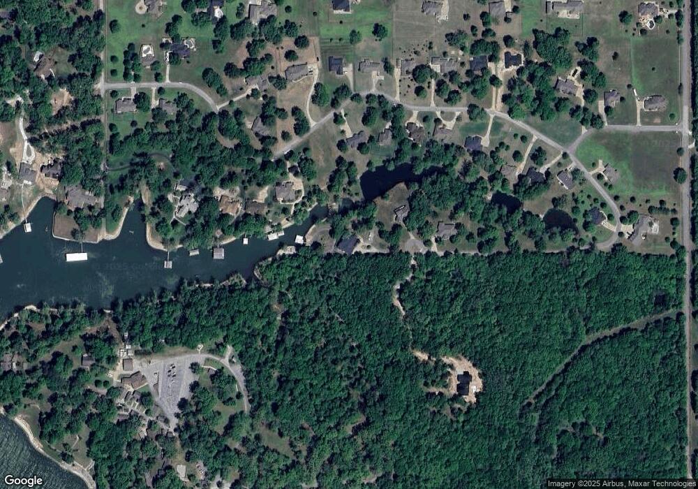
Map
Nearby Homes
- 59421 E 301 Rd
- TBD S 592 Lot 27 Place
- TBD S 592 Lot 26
- TBD S 592 Lot 25 Place
- 59488 E 301 Rd
- TBD S 592 Place
- 29900 S 592 Place
- 1019 Village Dr
- 58593 E 296 Place
- 58551 E 296 Place
- 2131 Dogwood Trail
- 0 Upper Waterfall Dr
- 29524 S 585 Ct
- Lot 1 & 2 S 585 Ct
- Lot 1 S 585 Ct
- Lot 2 S 585 Ct
- 29501 S 585 Ct
- 2243 Lower Waterfall Rd
- 29573 S 585 Ct
- 1446 Rockie Dr
- 59251 E 307 Ln
- 59323 E 307 Ln
- 59332 E 301 Place
- 0 E 301 Rd Lot 31 Wildwood Farm Unit 20-103
- Lot 31 E 301 (Wildwood Addition )
- 59151 E 301 Rd
- 59362 E 301 Place
- 59131 E 301 Rd
- 59241 E 301 Rd
- 59301 E 301 Rd
- TBD E 301 Place
- 59271 E 301 Rd
- TBD Wildwood Farms Lot 42
- 59331 E 301 Rd
- 0 E 301 Place Unit 17-2350
- 0 E 301 Place Unit 20-2334
- 0 E 301 Place Unit 20-2427
- LOT 31 E 301 Rd
- 0 E 301 Rd
- 59144 E 301 Rd
Your Personal Tour Guide
Ask me questions while you tour the home.