Estimated Value: $1,410,000 - $1,598,820
--
Bed
8
Baths
7,656
Sq Ft
$197/Sq Ft
Est. Value
About This Home
This home is located at 5925 County Road 172, Alvin, TX 77511 and is currently estimated at $1,504,410, approximately $196 per square foot. 5925 County Road 172 is a home located in Brazoria County with nearby schools including Bob & Betty Nelson Elementary School, Fairview Junior High School, and Alvin High School.
Ownership History
Date
Name
Owned For
Owner Type
Purchase Details
Closed on
Aug 30, 2012
Sold by
Davenport Richard B and Davenport Michael D
Bought by
Martinez David and Martinez Carol Ann
Current Estimated Value
Home Financials for this Owner
Home Financials are based on the most recent Mortgage that was taken out on this home.
Original Mortgage
$195,480
Interest Rate
3.56%
Mortgage Type
Seller Take Back
Purchase Details
Closed on
Nov 29, 1999
Sold by
Bottoms Gwendolyn Knape and Knape Beatrice Dorothy
Bought by
Martinez David and Martinez Carol
Create a Home Valuation Report for This Property
The Home Valuation Report is an in-depth analysis detailing your home's value as well as a comparison with similar homes in the area
Home Values in the Area
Average Home Value in this Area
Purchase History
| Date | Buyer | Sale Price | Title Company |
|---|---|---|---|
| Martinez David | -- | American Title Company | |
| Martinez David | -- | -- |
Source: Public Records
Mortgage History
| Date | Status | Borrower | Loan Amount |
|---|---|---|---|
| Closed | Martinez David | $195,480 |
Source: Public Records
Tax History Compared to Growth
Tax History
| Year | Tax Paid | Tax Assessment Tax Assessment Total Assessment is a certain percentage of the fair market value that is determined by local assessors to be the total taxable value of land and additions on the property. | Land | Improvement |
|---|---|---|---|---|
| 2025 | $7,656 | $664,913 | $24,310 | $746,880 |
| 2023 | $7,656 | $609,691 | $29,080 | $626,460 |
| 2022 | $11,815 | $554,520 | $13,640 | $540,880 |
| 2021 | $12,425 | $559,920 | $13,640 | $546,280 |
| 2020 | $14,369 | $638,960 | $14,900 | $624,060 |
| 2019 | $13,793 | $595,790 | $18,790 | $577,000 |
| 2018 | $13,073 | $563,250 | $11,240 | $552,010 |
| 2017 | $13,854 | $589,750 | $8,530 | $581,220 |
| 2016 | $13,491 | $596,110 | $8,530 | $587,580 |
| 2015 | $11,024 | $522,260 | $8,530 | $513,730 |
| 2014 | $11,024 | $547,560 | $8,650 | $538,910 |
Source: Public Records
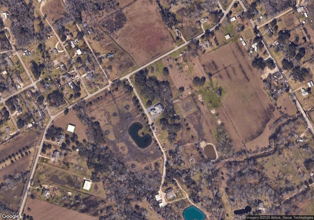
Map
Nearby Homes
- 0008 County Road 172
- 314 County Road 904
- 0 County Road 172 Unit 70480187
- 6930 S Oak Bend Dr
- 6203 Wickwillow Ln
- 5830 Pine Tree Trail
- 5624 Wickwillow Ln
- 4925 County Road 435
- 0 Wickwillow Ln
- 5806 S Highway 35
- 0000 Fm 2917 Rd
- 10 Kenny Ct
- 6115 S Highway 35
- 15586 County Road 436
- 14707 Susie Ln
- 7920 County Road 172
- 223 County Road 193
- 50 Lazy Oak Ct
- 7515 Oak Alley Ct
- 5519 S Highway 35
- 15931 Spinks Rd
- 0 Spinks Dr Unit 17745494
- 15927 Spinks Rd
- 15923 Spinks Rd
- 5903 County Road 172
- 5927 County Road 172
- 16240 Cr 191
- 15926 Spinks Rd
- 15924 Spinks Rd
- 15919 Spinks Rd
- 6207 County Road 172
- 15923 Ash Rd
- 15918 Spinks Rd
- 15911 Spinks Rd
- 6305 County Road 172
- 15902 County Road 191
- 15914 County Road 191
- 15926 Ash Rd
- 5802 County Road 172
- 15903 Spinks Rd