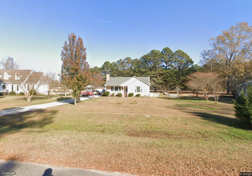
5925 Phillips Landing Dr Wake Forest, NC 27587
Estimated Value: $309,000 - $360,000
3
Beds
2
Baths
1,269
Sq Ft
$257/Sq Ft
Est. Value
About This Home
This home is located at 5925 Phillips Landing Dr, Wake Forest, NC 27587 and is currently estimated at $326,049, approximately $256 per square foot. 5925 Phillips Landing Dr is a home located in Wake County with nearby schools including Rolesville Elementary School, Rolesville Middle School, and Rolesville High School.
Ownership History
Date
Name
Owned For
Owner Type
Purchase Details
Closed on
Aug 22, 2003
Sold by
Toone Dawn C
Bought by
Boehm Douglas A and Boehm Ana
Current Estimated Value
Home Financials for this Owner
Home Financials are based on the most recent Mortgage that was taken out on this home.
Original Mortgage
$83,230
Outstanding Balance
$36,384
Interest Rate
5.52%
Mortgage Type
Purchase Money Mortgage
Estimated Equity
$289,665
Create a Home Valuation Report for This Property
The Home Valuation Report is an in-depth analysis detailing your home's value as well as a comparison with similar homes in the area
Home Values in the Area
Average Home Value in this Area
Purchase History
| Date | Buyer | Sale Price | Title Company |
|---|---|---|---|
| Boehm Douglas A | $119,000 | -- |
Source: Public Records
Mortgage History
| Date | Status | Borrower | Loan Amount |
|---|---|---|---|
| Open | Boehm Douglas A | $83,230 |
Source: Public Records
Tax History Compared to Growth
Tax History
| Year | Tax Paid | Tax Assessment Tax Assessment Total Assessment is a certain percentage of the fair market value that is determined by local assessors to be the total taxable value of land and additions on the property. | Land | Improvement |
|---|---|---|---|---|
| 2025 | $2,103 | $325,675 | $80,000 | $245,675 |
| 2024 | $2,042 | $325,675 | $80,000 | $245,675 |
| 2023 | $1,428 | $180,587 | $50,000 | $130,587 |
| 2022 | $1,324 | $180,587 | $50,000 | $130,587 |
| 2021 | $1,289 | $180,587 | $50,000 | $130,587 |
| 2020 | $1,268 | $180,587 | $50,000 | $130,587 |
| 2019 | $1,201 | $144,555 | $40,000 | $104,555 |
| 2018 | $1,105 | $144,555 | $40,000 | $104,555 |
| 2017 | $1,048 | $144,555 | $40,000 | $104,555 |
| 2016 | $1,027 | $144,555 | $40,000 | $104,555 |
| 2015 | $965 | $136,058 | $34,000 | $102,058 |
| 2014 | $915 | $136,058 | $34,000 | $102,058 |
Source: Public Records
Map
Nearby Homes
- 3604 Bailey Meadows Dr
- 5709 Flowery Meadow Ct
- 3612 Bailey Meadows Dr
- 5833 Mitchell Mill Rd
- 3608 Manly Farm Rd
- 3628 Manly Farm Rd
- Norman Plan at Kalas Falls
- Jordan Plan at Kalas Falls
- Hampshire Plan at Kalas Falls
- Hartwell Plan at Kalas Falls
- Summit Plan at Kalas Falls
- Fleetwood Plan at Kalas Falls
- Wylie Plan at Kalas Falls
- 3904 Manly Farm Rd
- 5725 All Clear Ln
- 0 Jones Cousins Way
- 6200 Emily Ln
- 3803 Jonesville Rd
- 2205 Seraphic Way Unit 403
- 2201 Seraphic Way Unit 404
- 5921 Phillips Landing Dr
- 5913 Phillips Landing Dr
- 5920 Phillips Landing Dr
- 5936 Phillips Landing Dr
- 5904 Phillips Landing Dr
- 5909 Phillips Landing Dr
- 3304 Starboard Ct
- 3300 Starboard Ct
- 3308 Starboard Ct
- 2300 Rolesville Rd
- 3400 Buccaneer Ct
- 3301 Starboard Ct
- 2101 Rolesville Rd
- 2304 Rolesville Rd
- 3305 Starboard Ct
- 3309 Starboard Ct
- 5841 Phillips Landing Dr
- 3404 Buccaneer Ct
- 2308 Rolesville Rd
- 3409 Buccaneer Ct