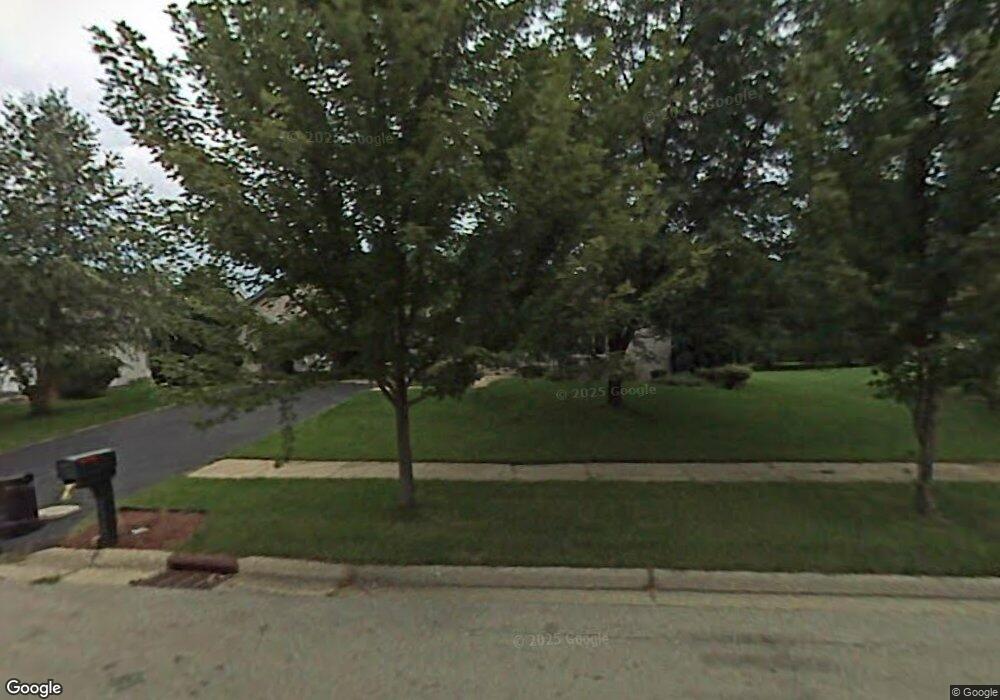
5926 Shelford Ln Rockford, IL 61107
Estimated Value: $294,295 - $327,000
3
Beds
3
Baths
2,109
Sq Ft
$150/Sq Ft
Est. Value
About This Home
This home is located at 5926 Shelford Ln, Rockford, IL 61107 and is currently estimated at $315,324, approximately $149 per square foot. 5926 Shelford Ln is a home located in Winnebago County with nearby schools including Brookview Elementary School, Eisenhower Middle School, and Guilford High School.
Ownership History
Date
Name
Owned For
Owner Type
Purchase Details
Closed on
Jan 23, 2018
Sold by
Vorel Bruce A and Vorel Dawn E
Bought by
First National Bank & Trust Co
Current Estimated Value
Purchase Details
Closed on
Jan 18, 2018
Sold by
Vorel Bruce A and Vorel Dawn E
Bought by
First National Bank & Trust Co
Purchase Details
Closed on
May 10, 2004
Bought by
First National Bank & Trust Co
Create a Home Valuation Report for This Property
The Home Valuation Report is an in-depth analysis detailing your home's value as well as a comparison with similar homes in the area
Home Values in the Area
Average Home Value in this Area
Purchase History
| Date | Buyer | Sale Price | Title Company |
|---|---|---|---|
| First National Bank & Trust Co | -- | Title Underwriters Agency | |
| First National Bank & Trust Co | -- | Title Underwriters Agency | |
| Payback Jamarius A Cavitt Obra | -- | Williamsmccarthy Llp | |
| First National Bank & Trust Co | $197,000 | -- |
Source: Public Records
Tax History Compared to Growth
Tax History
| Year | Tax Paid | Tax Assessment Tax Assessment Total Assessment is a certain percentage of the fair market value that is determined by local assessors to be the total taxable value of land and additions on the property. | Land | Improvement |
|---|---|---|---|---|
| 2024 | $7,771 | $82,003 | $10,648 | $71,355 |
| 2023 | $7,508 | $72,307 | $9,389 | $62,918 |
| 2022 | $7,384 | $64,629 | $8,392 | $56,237 |
| 2021 | $7,263 | $59,260 | $7,695 | $51,565 |
| 2020 | $7,204 | $56,022 | $7,275 | $48,747 |
| 2019 | $7,153 | $53,395 | $6,934 | $46,461 |
| 2018 | $7,181 | $50,322 | $6,535 | $43,787 |
| 2017 | $6,933 | $46,729 | $6,253 | $40,476 |
| 2016 | $6,927 | $45,853 | $6,136 | $39,717 |
| 2015 | $3,507 | $45,853 | $6,136 | $39,717 |
| 2014 | $6,932 | $48,354 | $7,681 | $40,673 |
Source: Public Records
Map
Nearby Homes
- 1850 N Mulford Rd
- 2202 Churchview Unit A Dr Unit A
- 1637 Coachman Dr
- 6135 Lippincott Ln
- 6005 Boxwood Dr
- 6241 Brynwood Dr
- 2561 Point o Woods Dr
- 6485 Shiloh Close
- 6485 Shiloh
- 5382 Guilford Rd
- 6458 Old Hunters Run
- 1119 Saint Andrews Way
- 5910 Creekside Ln
- 5075 Welsh Rd
- 2846 Cotswold Cir
- 921 Tivoli Dr
- 914 Tivoli Dr
- 906 Tivoli Dr
- 905 Tivoli Dr
- 950 Tivoli Dr
- 5908 Shelford Ln
- 5948 Shelford Ln
- 5931 Sandringham Ln
- 5979 Sandringham Ln
- 5888 Shelford Ln
- 5901 Sandringham Ln
- 5917 Shelford Ln
- 5945 Shelford Ln
- 5903 Shelford Ln
- 5872 Shelford Ln
- 5887 Sandringham Ln
- 5953 Shelford Ln
- 5981 Gale Ln
- 5936 Sandringham Ln
- 5883 Shelford Ln
- 5980 Sandringham Ln
- 5904 Sandringham Ln
- 5950 Sandringham Ln
- 5854 Shelford Ln
- 5869 Sandringham Ln
