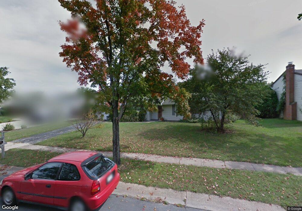
5927 Michael Rd Waldorf, MD 20601
Estimated Value: $447,000 - $480,000
Studio
3
Baths
2,384
Sq Ft
$194/Sq Ft
Est. Value
About This Home
This home is located at 5927 Michael Rd, Waldorf, MD 20601 and is currently estimated at $463,208, approximately $194 per square foot. 5927 Michael Rd is a home located in Charles County with nearby schools including Malcolm Elementary School, John Hanson Middle School, and Thomas Stone High School.
Ownership History
Date
Name
Owned For
Owner Type
Purchase Details
Closed on
Jul 12, 2001
Sold by
Adams Kent R and Adams Kathleen D
Bought by
Tewell Gregory J and Tewell Marlene M
Current Estimated Value
Purchase Details
Closed on
Nov 27, 1991
Sold by
Patton William E and Patton Sharon L
Bought by
Adams Kent R and Adams Kathleen D
Home Financials for this Owner
Home Financials are based on the most recent Mortgage that was taken out on this home.
Original Mortgage
$162,000
Interest Rate
8.63%
Create a Home Valuation Report for This Property
The Home Valuation Report is an in-depth analysis detailing your home's value as well as a comparison with similar homes in the area
Home Values in the Area
Average Home Value in this Area
Purchase History
| Date | Buyer | Sale Price | Title Company |
|---|---|---|---|
| Tewell Gregory J | $179,900 | -- | |
| Adams Kent R | $160,000 | -- |
Source: Public Records
Mortgage History
| Date | Status | Borrower | Loan Amount |
|---|---|---|---|
| Previous Owner | Adams Kent R | $162,000 | |
| Closed | Tewell Gregory J | -- |
Source: Public Records
Tax History
| Year | Tax Paid | Tax Assessment Tax Assessment Total Assessment is a certain percentage of the fair market value that is determined by local assessors to be the total taxable value of land and additions on the property. | Land | Improvement |
|---|---|---|---|---|
| 2025 | $10,580 | $361,933 | -- | -- |
| 2024 | $4,596 | $332,267 | $0 | $0 |
| 2023 | $4,324 | $302,600 | $85,500 | $217,100 |
| 2022 | $4,148 | $294,600 | $0 | $0 |
| 2021 | $3,893 | $286,600 | $0 | $0 |
| 2020 | $3,893 | $278,600 | $85,500 | $193,100 |
| 2019 | $3,747 | $268,700 | $0 | $0 |
| 2018 | $3,576 | $258,800 | $0 | $0 |
| 2017 | $3,438 | $248,900 | $0 | $0 |
| 2016 | -- | $248,900 | $0 | $0 |
| 2015 | $3,400 | $248,900 | $0 | $0 |
| 2014 | $3,400 | $252,300 | $0 | $0 |
Source: Public Records
Map
Nearby Homes
- 5923 Michael Rd
- 5932 Michael Rd
- 5014 Nicholas Rd
- 2730 Pinewood Dr
- 2300 Hawks Landing Ct
- 0 Pinewood Dr
- 2709 Pinewood Dr
- 1616 Debra Dr
- 3448 Williamsburg Dr
- 2769 Pinewood Dr
- 1305 Harwich Dr
- 3109 Tudor Rd
- 2650 Pinewood Dr
- 2525 Green Pine Ct
- 3203 Pinefield Cir
- 12613 Indian Ln
- 2511 Lisa Dr
- 2450 Indian Ct
- 2217 Pinefield Way
- 2290 Mattawoman Beantown Rd
- 5925 Michael Rd
- 5929 Michael Rd
- 5931 Michael Rd
- 6340 Josephine Rd
- 6338 Josephine Rd
- 6342 Josephine Rd
- 6202 Douglas Cir
- 5934 Michael Rd
- 5930 Michael Rd
- 6336 Josephine Rd
- 6344 Josephine Rd
- 5936 Michael Rd
- 5928 Michael Rd
- 6204 Douglas Cir
- 6334 Josephine Rd
- 2421 Pinefield Rd
- 5433 Lucy Dr
- 5938 Michael Rd
- 5431 Lucy Dr
- 5435 Lucy Dr
Your Personal Tour Guide
Ask me questions while you tour the home.