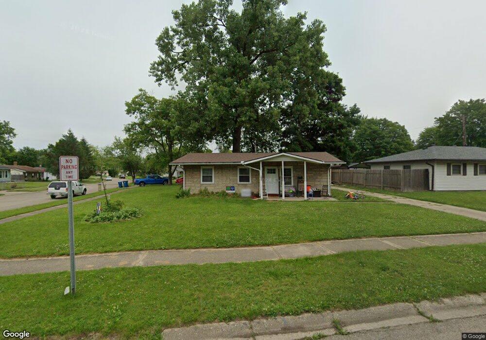
5927 Sharp Rd Dayton, OH 45432
Estimated Value: $149,803 - $182,000
3
Beds
1
Bath
925
Sq Ft
$183/Sq Ft
Est. Value
About This Home
This home is located at 5927 Sharp Rd, Dayton, OH 45432 and is currently estimated at $169,451, approximately $183 per square foot. 5927 Sharp Rd is a home located in Montgomery County with nearby schools including Parkwood Elementary School, Herman K Ankeney Middle School, and Beavercreek High School.
Ownership History
Date
Name
Owned For
Owner Type
Purchase Details
Closed on
Jul 25, 2008
Sold by
Corle Clyde E
Bought by
Ball Betsy J and Ball Betsy Jean
Current Estimated Value
Home Financials for this Owner
Home Financials are based on the most recent Mortgage that was taken out on this home.
Original Mortgage
$63,503
Outstanding Balance
$41,345
Interest Rate
6.51%
Mortgage Type
Purchase Money Mortgage
Estimated Equity
$128,106
Purchase Details
Closed on
Feb 14, 2003
Sold by
Wright Michael J
Bought by
Corle Clyde E
Create a Home Valuation Report for This Property
The Home Valuation Report is an in-depth analysis detailing your home's value as well as a comparison with similar homes in the area
Home Values in the Area
Average Home Value in this Area
Purchase History
| Date | Buyer | Sale Price | Title Company |
|---|---|---|---|
| Ball Betsy J | $64,500 | Attorney | |
| Corle Clyde E | $60,510 | -- |
Source: Public Records
Mortgage History
| Date | Status | Borrower | Loan Amount |
|---|---|---|---|
| Open | Ball Betsy J | $63,503 |
Source: Public Records
Tax History
| Year | Tax Paid | Tax Assessment Tax Assessment Total Assessment is a certain percentage of the fair market value that is determined by local assessors to be the total taxable value of land and additions on the property. | Land | Improvement |
|---|---|---|---|---|
| 2025 | $2,389 | $38,780 | $9,640 | $29,140 |
| 2024 | $2,317 | $38,780 | $9,640 | $29,140 |
| 2023 | $2,317 | $38,780 | $9,640 | $29,140 |
| 2022 | $1,775 | $25,350 | $6,300 | $19,050 |
| 2021 | $1,783 | $25,350 | $6,300 | $19,050 |
| 2020 | $1,828 | $25,350 | $6,300 | $19,050 |
| 2019 | $1,925 | $24,340 | $6,300 | $18,040 |
| 2018 | $1,792 | $24,340 | $6,300 | $18,040 |
| 2017 | $1,760 | $24,340 | $6,300 | $18,040 |
| 2016 | $1,703 | $23,160 | $6,300 | $16,860 |
| 2015 | $1,858 | $23,160 | $6,300 | $16,860 |
| 2014 | $1,858 | $23,160 | $6,300 | $16,860 |
| 2012 | -- | $22,580 | $7,000 | $15,580 |
Source: Public Records
Map
Nearby Homes
- 5943 Sharp Rd
- 6000 Sharp Rd
- 5588 Sharp Rd
- 5713 Mayville Dr
- 5664 Mayville Dr
- 1176 Irmal Dr
- 1792 Stedman Ln
- Lot 10 Linden Ave
- Lot 11 Linden Ave
- 4460 Mohave Dr
- 1301 Ames Ave
- 1538 Lytton Place
- 4174 Mapleview Dr
- 1726 Rausch Ave
- 4328 Richland Ave
- 4083 Dayton Xenia Rd
- 4301 Richland Ave
- 1622 Seabrook Rd
- 1792 Nugget Ct
- 4931 Arcadia Blvd
- 1266 Reedsdale Rd
- 5901 Sharp Rd
- 1277 Jeanette Dr
- 5957 Sharp Rd
- 1260 Reedsdale Rd
- 1263 Reedsdale Rd
- 1271 Jeanette Dr
- 5922 Sharp Rd
- 5934 Sharp Rd
- 5912 Sharp Rd
- 5944 Sharp Rd
- 5887 Sharp Rd
- 1257 Reedsdale Rd
- 5900 Sharp Rd
- 5956 Sharp Rd
- 1259 Jeanette Dr
- 5888 Sharp Rd
- 1251 Reedsdale Rd
- 5966 Sharp Rd
- 5871 Sharp Rd
Your Personal Tour Guide
Ask me questions while you tour the home.