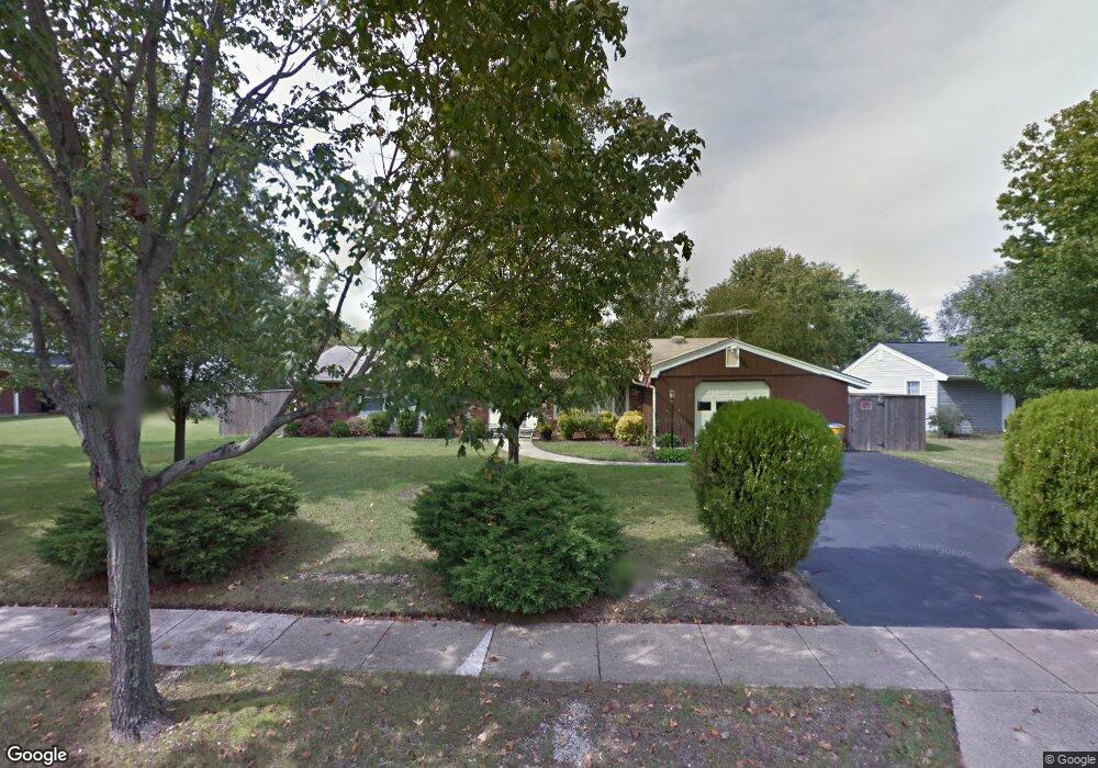
5928 Michael Rd Waldorf, MD 20601
Estimated Value: $378,816 - $438,000
--
Bed
2
Baths
1,822
Sq Ft
$227/Sq Ft
Est. Value
About This Home
This home is located at 5928 Michael Rd, Waldorf, MD 20601 and is currently estimated at $414,454, approximately $227 per square foot. 5928 Michael Rd is a home located in Charles County with nearby schools including Malcolm Elementary School, John Hanson Middle School, and Thomas Stone High School.
Ownership History
Date
Name
Owned For
Owner Type
Purchase Details
Closed on
Feb 20, 2020
Sold by
Costello Norma J
Bought by
Costello Norma J and Hoffman Heather M
Current Estimated Value
Purchase Details
Closed on
Feb 7, 2020
Sold by
Costello Norma J and Norma J Costello Living Trust
Bought by
Costello Norma J
Purchase Details
Closed on
Feb 25, 2009
Sold by
Costello Edward and Costello Norma J
Bought by
Costello Norma J Trs
Purchase Details
Closed on
Sep 3, 1982
Sold by
Hays Robert C and Hays Nancy L
Bought by
Costello Edward and Costello Norma J
Home Financials for this Owner
Home Financials are based on the most recent Mortgage that was taken out on this home.
Original Mortgage
$31,700
Interest Rate
15.59%
Create a Home Valuation Report for This Property
The Home Valuation Report is an in-depth analysis detailing your home's value as well as a comparison with similar homes in the area
Home Values in the Area
Average Home Value in this Area
Purchase History
| Date | Buyer | Sale Price | Title Company |
|---|---|---|---|
| Costello Norma J | -- | None Available | |
| Costello Norma J | -- | Accommodation | |
| Costello Norma J Trs | -- | -- | |
| Costello Edward | $82,900 | -- |
Source: Public Records
Mortgage History
| Date | Status | Borrower | Loan Amount |
|---|---|---|---|
| Previous Owner | Costello Edward | $31,700 |
Source: Public Records
Tax History Compared to Growth
Tax History
| Year | Tax Paid | Tax Assessment Tax Assessment Total Assessment is a certain percentage of the fair market value that is determined by local assessors to be the total taxable value of land and additions on the property. | Land | Improvement |
|---|---|---|---|---|
| 2025 | $9,852 | $332,733 | -- | -- |
| 2024 | $4,256 | $305,667 | $0 | $0 |
| 2023 | $3,981 | $278,600 | $83,300 | $195,300 |
| 2022 | $3,841 | $271,367 | $0 | $0 |
| 2021 | $3,607 | $264,133 | $0 | $0 |
| 2020 | $3,607 | $256,900 | $83,300 | $173,600 |
| 2019 | $3,487 | $248,967 | $0 | $0 |
| 2018 | $1,107 | $241,033 | $0 | $0 |
| 2017 | $3,229 | $233,100 | $0 | $0 |
| 2016 | -- | $233,100 | $0 | $0 |
| 2015 | $3,262 | $233,100 | $0 | $0 |
| 2014 | $3,262 | $236,200 | $0 | $0 |
Source: Public Records
Map
Nearby Homes
- 2419 Pinefield Rd
- 5914 Michael Rd
- 6320 Josephine Rd
- 5026 Nicholas Rd
- 1325 Harwich Dr
- 4302 Sandwich Ct
- 3907 Brewster Ct
- 2730 Sprague Dr
- 3448 Williamsburg Dr
- 2914 Sandwich Dr
- 1305 Harwich Dr
- 3307 Peach Tree Rd
- 2769 Pinewood Dr
- 4208 Sandwich Cir
- 2650 Pinewood Dr
- 1103 Falmouth Rd
- 2525 Green Pine Ct
- 3502 Lisa Ln
- 9016 Holly Ave
- 13455 Plantation Pines Ln