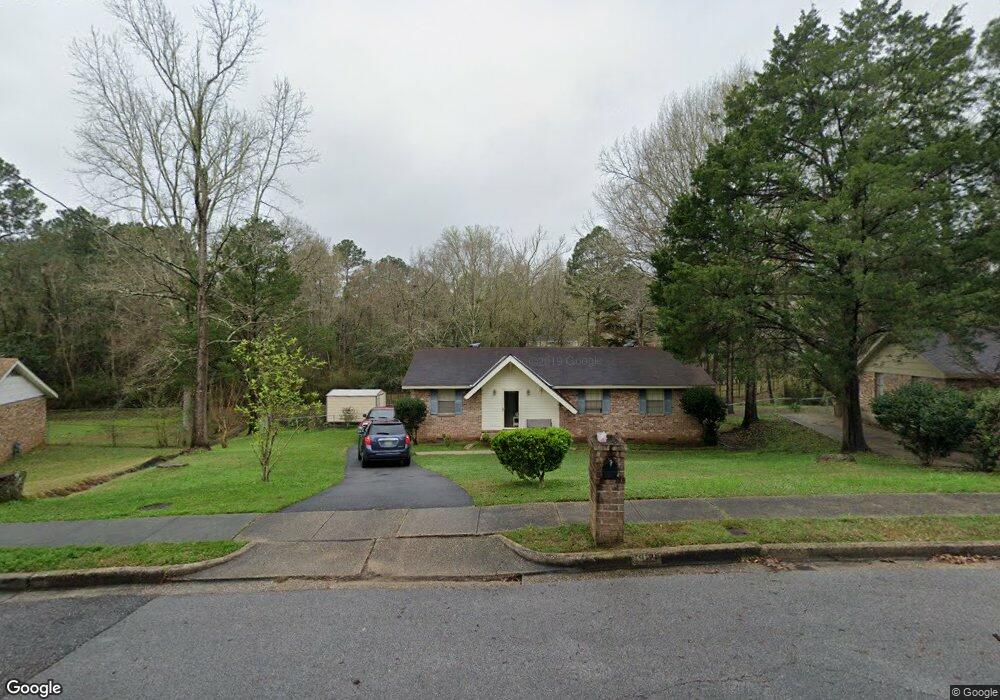
5929 Dixie Ln Mobile, AL 36693
Rolling Acres NeighborhoodEstimated Value: $154,015 - $189,000
3
Beds
2
Baths
1,176
Sq Ft
$143/Sq Ft
Est. Value
About This Home
This home is located at 5929 Dixie Ln, Mobile, AL 36693 and is currently estimated at $168,254, approximately $143 per square foot. 5929 Dixie Ln is a home located in Mobile County with nearby schools including Olive J. Dodge Elementary School, Burns Middle School, and Murphy High School.
Ownership History
Date
Name
Owned For
Owner Type
Purchase Details
Closed on
Apr 10, 2024
Sold by
Farnell Delance Paul and Farnell Sheila
Bought by
Farnell Delance Paul and Farnell Sheila
Current Estimated Value
Home Financials for this Owner
Home Financials are based on the most recent Mortgage that was taken out on this home.
Original Mortgage
$82,500
Outstanding Balance
$70,626
Interest Rate
6.22%
Mortgage Type
New Conventional
Estimated Equity
$97,628
Create a Home Valuation Report for This Property
The Home Valuation Report is an in-depth analysis detailing your home's value as well as a comparison with similar homes in the area
Home Values in the Area
Average Home Value in this Area
Purchase History
| Date | Buyer | Sale Price | Title Company |
|---|---|---|---|
| Farnell Delance Paul | $52,500 | Mortgage Connect |
Source: Public Records
Mortgage History
| Date | Status | Borrower | Loan Amount |
|---|---|---|---|
| Open | Farnell Delance Paul | $82,500 |
Source: Public Records
Tax History
| Year | Tax Paid | Tax Assessment Tax Assessment Total Assessment is a certain percentage of the fair market value that is determined by local assessors to be the total taxable value of land and additions on the property. | Land | Improvement |
|---|---|---|---|---|
| 2025 | $623 | $11,470 | $3,000 | $8,470 |
| 2024 | $623 | $12,310 | $2,500 | $9,810 |
| 2023 | $671 | $10,480 | $2,500 | $7,980 |
| 2022 | $563 | $9,910 | $2,500 | $7,410 |
| 2021 | $502 | $8,950 | $2,500 | $6,450 |
| 2020 | $502 | $8,950 | $2,500 | $6,450 |
| 2019 | $473 | $8,490 | $2,500 | $5,990 |
| 2018 | $451 | $8,160 | $0 | $0 |
| 2017 | $468 | $8,420 | $0 | $0 |
| 2016 | $473 | $8,500 | $0 | $0 |
| 2013 | $567 | $9,800 | $0 | $0 |
Source: Public Records
Map
Nearby Homes
- 6009 Oak Harbor Ct
- 2605 Woodland Rd
- 2403 West Rd
- 2404 Pavan Dr
- 2478 Ashbury Place
- 2401 Huffman Dr W
- 2298 Snowden Place
- 2286 Snowden Place
- 2333 Huffman Dr W
- 2285 Snowden Place W
- 2551 Muir Woods Ct S
- 5908 Rio Vista Dr
- 2705 Charlestowne Dr W
- 6208 Palos Ct
- 2274 Christopher Dr E
- 5734 Ramada Dr S
- 2629 Mountbrook Dr
- 5758 Fairwood Dr
- 6309 Las Cosas Ct
- 2555 East Rd
- 5933 Dixie Ln
- 2511 Woodland Rd
- 5937 Dixie Ln
- 2554 Dixie Ln
- 2515 Woodland Rd
- 5924 Dixie Ln
- 5921 Dixie Ln
- 2505 Woodland Rd
- 2555 Dixie Ln
- 5920 Dixie Ln
- 2503 Woodland Rd
- 5927 Couton Dr
- 5917 Dixie Ln
- 5916 Dixie Ln
- 5953 Couton Dr
- 2519 Woodland Rd
- 5921 Couton Dr
- 5954 Mcpherson St
- 2501 Woodland Rd
- 2523 Woodland Rd
Your Personal Tour Guide
Ask me questions while you tour the home.