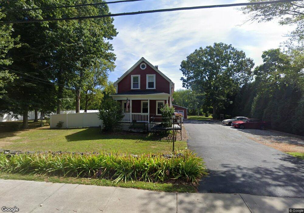
593 Bark St Swansea, MA 02777
West Swansea NeighborhoodEstimated Value: $427,000 - $569,000
3
Beds
3
Baths
1,316
Sq Ft
$371/Sq Ft
Est. Value
About This Home
This home is located at 593 Bark St, Swansea, MA 02777 and is currently estimated at $488,364, approximately $371 per square foot. 593 Bark St is a home located in Bristol County with nearby schools including Joseph Case High School, Swansea Wood School, and SCEC Life Academy.
Ownership History
Date
Name
Owned For
Owner Type
Purchase Details
Closed on
Jun 29, 2004
Sold by
Doman Lisa E and Doman Timothy M
Bought by
Riopel Lidia T and Riopel Michael J
Current Estimated Value
Home Financials for this Owner
Home Financials are based on the most recent Mortgage that was taken out on this home.
Original Mortgage
$236,000
Outstanding Balance
$118,673
Interest Rate
6.32%
Mortgage Type
Purchase Money Mortgage
Estimated Equity
$369,691
Purchase Details
Closed on
Apr 29, 2002
Sold by
Viera Keith N and Viera Sheri Lynn
Bought by
Doman Timothy M and Doman Lisa E
Purchase Details
Closed on
Sep 16, 1997
Sold by
Jennings Charlotte A
Bought by
Vieira Keith N and Vieira Sheri Lynn
Purchase Details
Closed on
Mar 31, 1995
Sold by
Sullivan Daniel J
Bought by
Soares Norbert and Soares Mary Lou
Create a Home Valuation Report for This Property
The Home Valuation Report is an in-depth analysis detailing your home's value as well as a comparison with similar homes in the area
Home Values in the Area
Average Home Value in this Area
Purchase History
| Date | Buyer | Sale Price | Title Company |
|---|---|---|---|
| Riopel Lidia T | $295,000 | -- | |
| Doman Timothy M | $187,000 | -- | |
| Vieira Keith N | $127,000 | -- | |
| Soares Norbert | $87,400 | -- |
Source: Public Records
Mortgage History
| Date | Status | Borrower | Loan Amount |
|---|---|---|---|
| Open | Soares Norbert | $236,000 | |
| Closed | Soares Norbert | $19,000 |
Source: Public Records
Tax History Compared to Growth
Tax History
| Year | Tax Paid | Tax Assessment Tax Assessment Total Assessment is a certain percentage of the fair market value that is determined by local assessors to be the total taxable value of land and additions on the property. | Land | Improvement |
|---|---|---|---|---|
| 2025 | $4,410 | $370,000 | $175,000 | $195,000 |
| 2024 | $4,424 | $369,000 | $175,000 | $194,000 |
| 2023 | $4,152 | $316,200 | $128,100 | $188,100 |
| 2022 | $3,789 | $263,300 | $116,400 | $146,900 |
| 2021 | $3,940 | $252,100 | $116,400 | $135,700 |
| 2020 | $3,872 | $248,500 | $116,400 | $132,100 |
| 2019 | $3,812 | $245,800 | $103,900 | $141,900 |
| 2018 | $3,456 | $226,200 | $102,200 | $124,000 |
| 2017 | $3,038 | $228,800 | $102,200 | $126,600 |
| 2016 | $2,393 | $177,000 | $67,700 | $109,300 |
| 2015 | $2,306 | $175,600 | $67,700 | $107,900 |
| 2014 | $2,255 | $175,600 | $67,700 | $107,900 |
Source: Public Records
Map
Nearby Homes
- 0 Bark St Unit 73152576
- 0 Bark St Unit 1342599
- 61 Stevens Rd
- 287 Bark St
- 265 Stevens Rd
- 34 Barry Ave
- 95 Brookside Rd
- 64 Midland Rd
- 122 Robin Ln
- 64 Jaffrey St
- 126 Jaffrey St
- 84 Thomas Dr
- 190 Gibbs St
- 135 Grove Ave
- 601 Eastview Ave
- 112 Rounseville Ave
- 281 Massachusetts Ave
- 154 Tess Abigail Ln
- 2714 Riverside Ave
- 69 Denham Ave