593 Beavertail Rd Jamestown, RI 02835
Beavertail NeighborhoodEstimated Value: $6,000,738 - $6,672,000
5
Beds
4
Baths
5,919
Sq Ft
$1,071/Sq Ft
Est. Value
About This Home
This home is located at 593 Beavertail Rd, Jamestown, RI 02835 and is currently estimated at $6,336,369, approximately $1,070 per square foot. 593 Beavertail Rd is a home located in Newport County with nearby schools including Melrose Avenue School and Lawn Avenue School.
Ownership History
Date
Name
Owned For
Owner Type
Purchase Details
Closed on
Jul 26, 2021
Sold by
Bellino Joseph and Bellino Anne M
Bought by
Joseph P Bellino Ret
Current Estimated Value
Purchase Details
Closed on
Nov 17, 1996
Sold by
Monti Peter M
Bought by
Bellino Joseph and Bellino Anne
Create a Home Valuation Report for This Property
The Home Valuation Report is an in-depth analysis detailing your home's value as well as a comparison with similar homes in the area
Home Values in the Area
Average Home Value in this Area
Purchase History
| Date | Buyer | Sale Price | Title Company |
|---|---|---|---|
| Joseph P Bellino Ret | -- | None Available | |
| Bellino Joseph | $575,000 | -- |
Source: Public Records
Mortgage History
| Date | Status | Borrower | Loan Amount |
|---|---|---|---|
| Previous Owner | Bellino Joseph | $150,000 | |
| Previous Owner | Bellino Joseph | $165,000 | |
| Previous Owner | Bellino Joseph | $200,000 |
Source: Public Records
Tax History
| Year | Tax Paid | Tax Assessment Tax Assessment Total Assessment is a certain percentage of the fair market value that is determined by local assessors to be the total taxable value of land and additions on the property. | Land | Improvement |
|---|---|---|---|---|
| 2025 | $39,104 | $6,933,400 | $4,870,200 | $2,063,200 |
| 2024 | $41,057 | $5,726,200 | $4,073,600 | $1,652,600 |
| 2023 | $40,273 | $5,769,800 | $4,073,600 | $1,696,200 |
| 2022 | $39,143 | $5,764,800 | $4,073,600 | $1,691,200 |
| 2021 | $43,202 | $5,217,600 | $3,792,900 | $1,424,700 |
| 2020 | $42,106 | $5,217,600 | $3,792,900 | $1,424,700 |
| 2019 | $36,121 | $4,487,101 | $3,062,401 | $1,424,700 |
| 2018 | $37,986 | $4,292,201 | $3,062,401 | $1,229,800 |
| 2017 | $37,170 | $4,292,201 | $3,062,401 | $1,229,800 |
| 2016 | $36,827 | $4,292,201 | $3,062,401 | $1,229,800 |
| 2015 | $42,926 | $4,889,100 | $3,541,900 | $1,347,200 |
| 2014 | $42,780 | $4,889,100 | $3,541,900 | $1,347,200 |
Source: Public Records
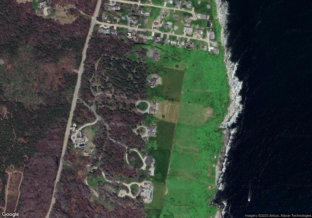
Map
Nearby Homes
- 21 Bonnet View Dr
- 30 Bonnet View Dr
- 264 Colonel John Gardner Rd
- 41 Castle Hill Ave
- 65 Ridge Rd Unit T11/W38
- 65 Ridge Rd Unit G29/W24
- 65 Ridge Rd Unit P37
- 65 Ridge Rd Unit T21/W23
- 7 Bayberry Rd
- 175 Bonnet Point Rd Unit 29
- 727 Boston Neck Rd
- 8 Anchorage Rd
- 104 Howland Ave
- 844 Boston Neck Rd
- 30 Crest Ave
- 137 Bonnet Shores Rd
- 30 Walcott Ave
- 39 Walcott Ave
- 22 Cole St
- 55 Bonnet Shores Rd
- 589 Beavertail Rd
- 597 Beavertail Rd
- 585 Beavertail Rd
- 605 Beavertail Rd
- 19 Clarkes Village Rd
- 15 Clarkes Village Rd
- 23 Clarke's Village Rd
- 23 Clarkes Village Rd
- 11 Clarkes Village Rd
- 27 Clarkes Village Rd
- 33 Clarkes Village Rd
- 0 Clarkes Village Rd
- 37 Clarkes Village Rd
- 1 Clarkes Village Rd
- 20 Clarkes Village Rd
- 14 Clarkes Village Rd
- 24 Clarkes Village Rd
- 8 Clarkes Village Rd
- 30 Clarkes Village Rd
- 1 Clarkes Village Ln
Your Personal Tour Guide
Ask me questions while you tour the home.