593 Le Parc Cir Unit 66 Buffalo Grove, IL 60089
Estimated Value: $311,368 - $340,000
3
Beds
2
Baths
1,414
Sq Ft
$228/Sq Ft
Est. Value
About This Home
This home is located at 593 Le Parc Cir Unit 66, Buffalo Grove, IL 60089 and is currently estimated at $322,092, approximately $227 per square foot. 593 Le Parc Cir Unit 66 is a home located in Lake County with nearby schools including Meridian Middle School, Earl Pritchett School, and Aptakisic Junior High School.
Ownership History
Date
Name
Owned For
Owner Type
Purchase Details
Closed on
Jul 20, 2001
Sold by
Denton Michael
Bought by
Khurshid Tahir M and Khurshid Freida F
Current Estimated Value
Home Financials for this Owner
Home Financials are based on the most recent Mortgage that was taken out on this home.
Original Mortgage
$178,100
Interest Rate
6.82%
Mortgage Type
FHA
Purchase Details
Closed on
Jul 2, 2001
Sold by
Denton Michelle A
Bought by
Denton Michael
Home Financials for this Owner
Home Financials are based on the most recent Mortgage that was taken out on this home.
Original Mortgage
$178,100
Interest Rate
6.82%
Mortgage Type
FHA
Purchase Details
Closed on
Jul 20, 1994
Sold by
Weinberg Seymour and Weinberg Shirley
Bought by
Denton Michael and Denton Michelle A
Create a Home Valuation Report for This Property
The Home Valuation Report is an in-depth analysis detailing your home's value as well as a comparison with similar homes in the area
Home Values in the Area
Average Home Value in this Area
Purchase History
| Date | Buyer | Sale Price | Title Company |
|---|---|---|---|
| Khurshid Tahir M | $187,500 | -- | |
| Denton Michael | -- | Chicago Title Insurance Co | |
| Denton Michael | $138,000 | Intercounty Title Company |
Source: Public Records
Mortgage History
| Date | Status | Borrower | Loan Amount |
|---|---|---|---|
| Previous Owner | Khurshid Tahir M | $178,100 | |
| Closed | Denton Michael | $0 |
Source: Public Records
Tax History Compared to Growth
Tax History
| Year | Tax Paid | Tax Assessment Tax Assessment Total Assessment is a certain percentage of the fair market value that is determined by local assessors to be the total taxable value of land and additions on the property. | Land | Improvement |
|---|---|---|---|---|
| 2024 | $8,380 | $86,227 | $21,013 | $65,214 |
| 2023 | $7,541 | $81,361 | $19,827 | $61,534 |
| 2022 | $7,541 | $77,186 | $18,810 | $58,376 |
| 2021 | $7,277 | $76,354 | $18,607 | $57,747 |
| 2020 | $7,134 | $76,614 | $18,670 | $57,944 |
| 2019 | $6,942 | $76,331 | $18,601 | $57,730 |
| 2018 | $4,853 | $59,280 | $20,218 | $39,062 |
| 2017 | $4,786 | $57,896 | $19,746 | $38,150 |
| 2016 | $4,605 | $55,440 | $18,908 | $36,532 |
| 2015 | $4,490 | $51,847 | $17,683 | $34,164 |
| 2014 | $4,314 | $49,544 | $18,992 | $30,552 |
| 2012 | $4,279 | $49,643 | $19,030 | $30,613 |
Source: Public Records
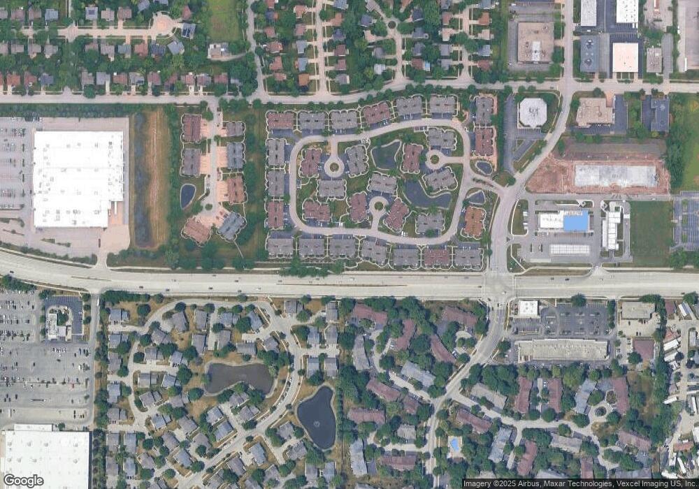
Map
Nearby Homes
- 473 Le Parc Cir Unit 126
- 1239 Oboe Ct Unit 33
- 1242 Nova Ct Unit 24
- 1050 Driftwood Ct Unit 1
- 220 Osage Ln
- 550 Greystone Ln Unit A2
- 588 Fairway View Dr Unit 2E
- 586 Fairway View Dr Unit 1A
- 1059 Southbury Ln Unit 1
- 640 Mchenry Rd Unit 301
- 823 Cambridge Place Unit 119
- 20665 N Weiland Rd
- 1142 Inverrary Ln Unit D-86
- 928 Woodland Dr
- 25 Crestview Terrace
- 1500 Canbury Ct Unit 11373
- 36 Crestview Terrace
- 1600 Brittany Ct Unit C-2
- 400 E Dundee Rd Unit 207C
- 10 Old Oak Dr Unit 103
- 595 Le Parc Cir Unit 61
- 591 Le Parc Cir Unit 65
- 585 Le Parc Cir Unit 64
- 583 Le Parc Cir Unit 63
- 581 Le Parc Cir Unit 62
- 601 Le Parc Cir Unit 52
- 603 Le Parc Cir Unit 53
- 611 Le Parc Cir Unit 55
- 611 Le Parc Cir Unit 55
- 611 Le Parc Cir Unit 611
- 575 Le Parc Cir Unit 71
- 573 Le Parc Cir Unit 76
- 580 Le Parc Cir Unit 231
- 615 Le Parc Cir Unit 51
- 571 Le Parc Cir Unit 75
- 582 Le Parc Cir Unit 236
- 565 Le Parc Cir Unit 74
- 584 Le Parc Cir Unit 235
- 563 Le Parc Cir Unit 73
- 590 Le Parc Cir Unit 234