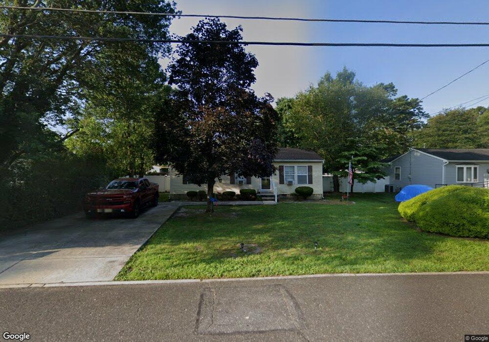
5930 Cedarcroft Dr Mays Landing, NJ 08330
Estimated Value: $227,847 - $298,000
--
Bed
--
Bath
960
Sq Ft
$274/Sq Ft
Est. Value
About This Home
This home is located at 5930 Cedarcroft Dr, Mays Landing, NJ 08330 and is currently estimated at $262,949, approximately $273 per square foot. 5930 Cedarcroft Dr is a home located in Atlantic County with nearby schools including Joseph Shaner School, George L. Hess Educational Complex, and William Davies Middle School.
Ownership History
Date
Name
Owned For
Owner Type
Purchase Details
Closed on
Feb 26, 1999
Sold by
Suckiel Michael
Bought by
Suckiel Michael and Suckiel Barbara
Current Estimated Value
Create a Home Valuation Report for This Property
The Home Valuation Report is an in-depth analysis detailing your home's value as well as a comparison with similar homes in the area
Home Values in the Area
Average Home Value in this Area
Purchase History
| Date | Buyer | Sale Price | Title Company |
|---|---|---|---|
| Suckiel Michael | -- | Liberty Title Agency |
Source: Public Records
Tax History Compared to Growth
Tax History
| Year | Tax Paid | Tax Assessment Tax Assessment Total Assessment is a certain percentage of the fair market value that is determined by local assessors to be the total taxable value of land and additions on the property. | Land | Improvement |
|---|---|---|---|---|
| 2025 | $4,416 | $128,700 | $48,000 | $80,700 |
| 2024 | $4,416 | $128,700 | $48,000 | $80,700 |
| 2023 | $4,152 | $128,700 | $48,000 | $80,700 |
| 2022 | $4,152 | $128,700 | $48,000 | $80,700 |
| 2021 | $4,143 | $128,700 | $48,000 | $80,700 |
| 2020 | $4,143 | $128,700 | $48,000 | $80,700 |
| 2019 | $4,153 | $128,700 | $48,000 | $80,700 |
| 2018 | $4,008 | $128,700 | $48,000 | $80,700 |
| 2017 | $3,945 | $128,700 | $48,000 | $80,700 |
| 2016 | $3,834 | $128,700 | $48,000 | $80,700 |
| 2015 | $3,704 | $128,700 | $48,000 | $80,700 |
| 2014 | $3,733 | $142,100 | $53,000 | $89,100 |
Source: Public Records
Map
Nearby Homes
- 5910 Somerset Dr
- 5926 Berry Dr
- 5906 Vine Dr
- 5910 Redwood Ct
- 55 Lewis Dr
- 40 Vender Ln
- 18 Lewis Dr
- 94 Merlino Ln
- 000 Apple St
- 0 Apple St
- 42 Ernst Ct
- Bl 531 Lot 8&9 Adams Ave
- 0 Cape May Ave
- Lot:11.02-12.02 Estelle Ave
- B:534 L:11.01 Estelle Ave
- B:534 L:12.02 Estelle Ave
- B:534 L:11.02 Estelle Ave
- 22 Ernst Ct
- 1st First Ave
- Rt 50 and Old Mays Landing Rd
- 5932 Cedarcroft Dr
- 5928 Cedarcroft Dr
- 5934 Cedarcroft Dr
- 5907 Somerset Dr
- 5905 Somerset Dr
- 5926 Maple Dr
- 5926 Cedarcroft Dr
- 5925 Cedarcroft Dr
- 5903 Somerset Dr
- 5936 Cedarcroft Dr
- 5916 Berry Dr
- 1702 Candlewood Dr
- 5924 Maple Dr
- 5928 Maple Dr
- cedarcroft Cedarcroft Dr
- 0 Cedarcroft Dr
- 1704 Candlewood Dr
- 5938 Cedarcroft Dr
- 5930 Maple Dr
- 5904 Somerset Dr