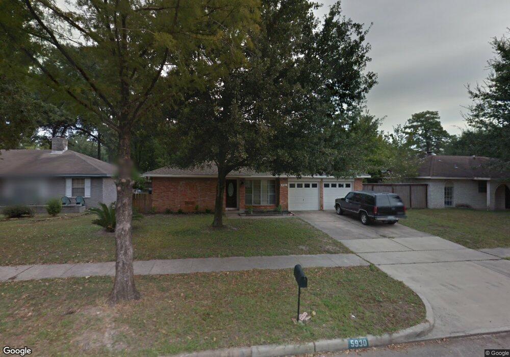
5930 Darkwood Dr Houston, TX 77088
Greater Inwood NeighborhoodEstimated Value: $196,000 - $214,000
3
Beds
2
Baths
1,666
Sq Ft
$123/Sq Ft
Est. Value
About This Home
This home is located at 5930 Darkwood Dr, Houston, TX 77088 and is currently estimated at $204,987, approximately $123 per square foot. 5930 Darkwood Dr is a home located in Harris County with nearby schools including Edward a Vines EC/Pre-K/K School, J. Ruth Smith Elementary, and Hoffman Middle School.
Ownership History
Date
Name
Owned For
Owner Type
Purchase Details
Closed on
Nov 4, 2014
Sold by
Johnson Emmitt W and Wells Fargo Bank Na
Bought by
Invum Two Llc
Current Estimated Value
Purchase Details
Closed on
Jun 15, 1994
Sold by
Klemm Mark D and Klemm Elizabeth
Bought by
Johnson Emmitt W
Home Financials for this Owner
Home Financials are based on the most recent Mortgage that was taken out on this home.
Original Mortgage
$57,950
Interest Rate
8.75%
Create a Home Valuation Report for This Property
The Home Valuation Report is an in-depth analysis detailing your home's value as well as a comparison with similar homes in the area
Home Values in the Area
Average Home Value in this Area
Purchase History
| Date | Buyer | Sale Price | Title Company |
|---|---|---|---|
| Invum Two Llc | $69,500 | None Available | |
| Johnson Emmitt W | -- | Houston Title Company 514 |
Source: Public Records
Mortgage History
| Date | Status | Borrower | Loan Amount |
|---|---|---|---|
| Previous Owner | Johnson Emmitt W | $57,950 |
Source: Public Records
Tax History Compared to Growth
Tax History
| Year | Tax Paid | Tax Assessment Tax Assessment Total Assessment is a certain percentage of the fair market value that is determined by local assessors to be the total taxable value of land and additions on the property. | Land | Improvement |
|---|---|---|---|---|
| 2025 | $2,782 | $181,439 | $32,901 | $148,538 |
| 2024 | $2,782 | $187,502 | $32,901 | $154,601 |
| 2023 | $2,782 | $187,502 | $32,901 | $154,601 |
| 2022 | $4,083 | $183,955 | $32,901 | $151,054 |
| 2021 | $3,887 | $156,643 | $17,273 | $139,370 |
| 2020 | $3,713 | $140,676 | $17,273 | $123,403 |
| 2019 | $3,701 | $133,758 | $17,273 | $116,485 |
| 2018 | $1,402 | $122,660 | $17,273 | $105,387 |
| 2017 | $3,055 | $122,660 | $17,273 | $105,387 |
| 2016 | $2,778 | $104,704 | $17,273 | $87,431 |
| 2015 | $2,355 | $104,704 | $17,273 | $87,431 |
| 2014 | $2,355 | $94,956 | $17,273 | $77,683 |
Source: Public Records
Map
Nearby Homes
- 5907 Darkwood Dr
- 5906 Lawn Ln
- 5914 Lawn Ln
- 7526 Antoine Dr
- 7014 Bent Branch Dr
- 6918 Bent Branch Dr
- 5710 Council Grove Ln
- 0 Maple Hill Dr
- 6931 Wagonwheel Ln
- 7146 Bayou Forest Dr
- 5639 Council Grove Ln
- 6202 Wagonwheel Cir
- 7211 Deep Forest Dr
- 4444 Victory Dr Unit 1311
- 4444 Victory Dr Unit 1108
- 7727 Green Lawn Dr
- 5606 Water Leaf Ln
- 7728 Challie Ln
- 7750 Green Lawn Dr
- 5514 Long Creek Ln
- 5934 Darkwood Dr
- 7507 Brushy Ct
- 5938 Darkwood Dr
- 7511 Brushy Ct
- 5931 Darkwood Dr
- 5935 Bent Bough Ln
- 5935 Darkwood Dr
- 5918 Darkwood Dr
- 5931 Bent Bough Ln
- 5927 Darkwood Dr
- 5939 Bent Bough Ln
- 5927 Bent Bough Ln
- 5939 Darkwood Dr
- 5923 Bent Bough Ln
- 5923 Darkwood Dr
- 5943 Bent Bough Ln
- 7514 Brushy Ct
- 5914 Darkwood Dr
- 5919 Bent Bough Ln
- 7506 Brushy Ct