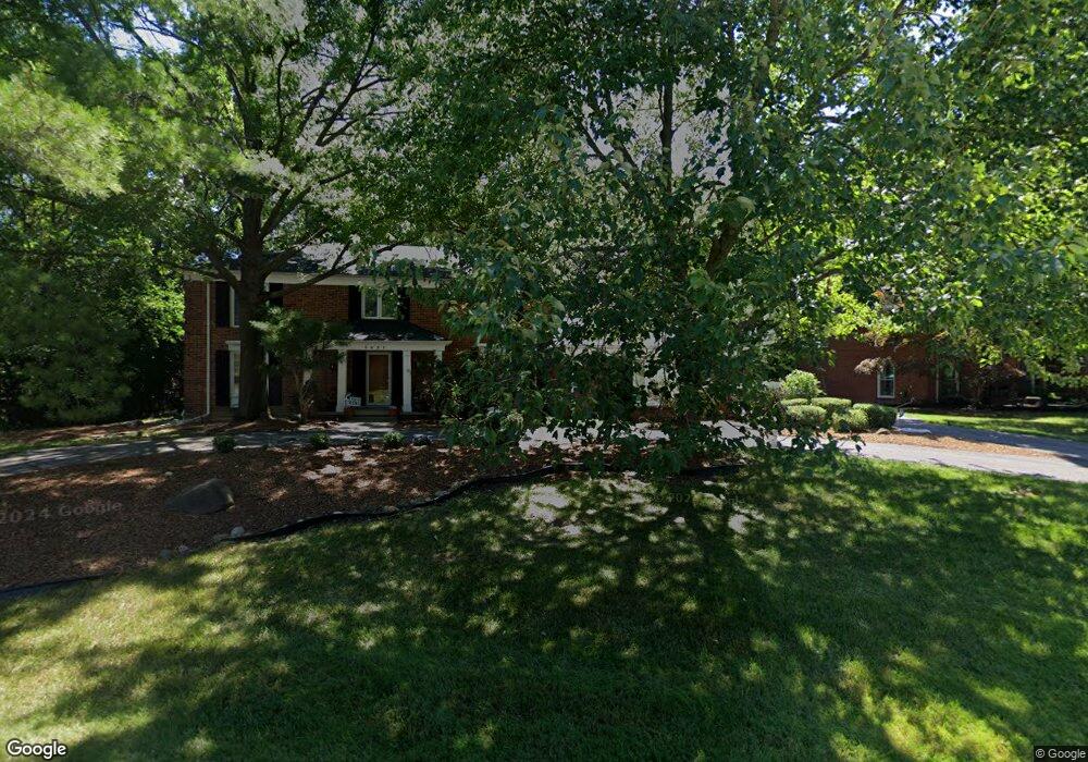
5931 Barnstable Ct West Bloomfield, MI 48322
Estimated Value: $449,000 - $500,000
4
Beds
4
Baths
2,617
Sq Ft
$179/Sq Ft
Est. Value
About This Home
This home is located at 5931 Barnstable Ct, West Bloomfield, MI 48322 and is currently estimated at $468,675, approximately $179 per square foot. 5931 Barnstable Ct is a home located in Oakland County with nearby schools including Sheiko Elementary School, West Bloomfield Middle School, and Sarah & Irving Pitt Child Development Center.
Ownership History
Date
Name
Owned For
Owner Type
Purchase Details
Closed on
Jun 8, 2001
Sold by
Feinberg Pamela
Bought by
Bienstock Michael
Current Estimated Value
Home Financials for this Owner
Home Financials are based on the most recent Mortgage that was taken out on this home.
Original Mortgage
$210,000
Interest Rate
7.03%
Purchase Details
Closed on
Jun 19, 2000
Sold by
Feinberg Ronald M
Bought by
Feinberg Pamela
Purchase Details
Closed on
May 26, 1998
Sold by
Feinberg Ronald M
Bought by
Feinberg Ronald M
Create a Home Valuation Report for This Property
The Home Valuation Report is an in-depth analysis detailing your home's value as well as a comparison with similar homes in the area
Home Values in the Area
Average Home Value in this Area
Purchase History
| Date | Buyer | Sale Price | Title Company |
|---|---|---|---|
| Bienstock Michael | $307,500 | -- | |
| Feinberg Pamela | -- | -- | |
| Feinberg Ronald M | -- | -- |
Source: Public Records
Mortgage History
| Date | Status | Borrower | Loan Amount |
|---|---|---|---|
| Previous Owner | Bienstock Michael | $210,000 |
Source: Public Records
Tax History Compared to Growth
Tax History
| Year | Tax Paid | Tax Assessment Tax Assessment Total Assessment is a certain percentage of the fair market value that is determined by local assessors to be the total taxable value of land and additions on the property. | Land | Improvement |
|---|---|---|---|---|
| 2025 | $4,824 | $204,040 | $60,750 | $143,290 |
| 2024 | $3,006 | $192,020 | $0 | $0 |
| 2022 | $2,878 | $168,240 | $45,000 | $123,240 |
| 2021 | $4,316 | $154,600 | $0 | $0 |
| 2020 | $2,783 | $151,660 | $40,550 | $111,110 |
| 2018 | $4,161 | $144,200 | $28,700 | $115,500 |
| 2015 | -- | $119,330 | $0 | $0 |
| 2014 | -- | $109,320 | $0 | $0 |
| 2011 | -- | $95,830 | $0 | $0 |
Source: Public Records
Map
Nearby Homes
- 5710 Hobnail Cir
- 4800 Faircourt Dr
- 6322 Pepper Hill St Unit 62
- 6222 Pepper Hill St
- 6103 Orchard Lake Rd Unit 201
- 6151 Orchard Lake Rd Unit 103
- 4161 Breckenridge Dr
- 3865 Stonecrest Rd
- 6260 Nicholas Dr
- 3930 Harris Ln
- 6323 Potomac Cir Unit 22
- 6610 Fieldstone Ct
- 6622 Fieldstone Ct
- 6651 Hearthside Ct Unit 1
- 5352 W Doherty Dr
- 5106 Rock Run
- 4250 Greenstown Dr
- 5720 Beauchamp
- 5116 W Bloomfield Lake Rd
- 6265 Potomac Cir
- 5947 Barnstable Ct
- 5904 Pinecroft Dr
- 5915 Barnstable Ct
- 5922 Pinecroft Dr
- 5918 Barnstable Ct
- 5901 Barnstable Ct
- 5936 Barnstable Ct
- 5963 Barnstable Ct
- 5880 Pinecroft Dr
- 5900 Barnstable Ct
- 5938 Pinecroft Dr
- 5954 Barnstable Ct
- 5735 Fox Hunt Ln
- 5745 Fox Hunt Ln
- 5909 Trotter Ln
- 5725 Fox Hunt Ln
- 5891 Trotter Ln
- 5854 Pinecroft Dr
- 5977 Barnstable Ct
- 5905 Pinecroft Dr