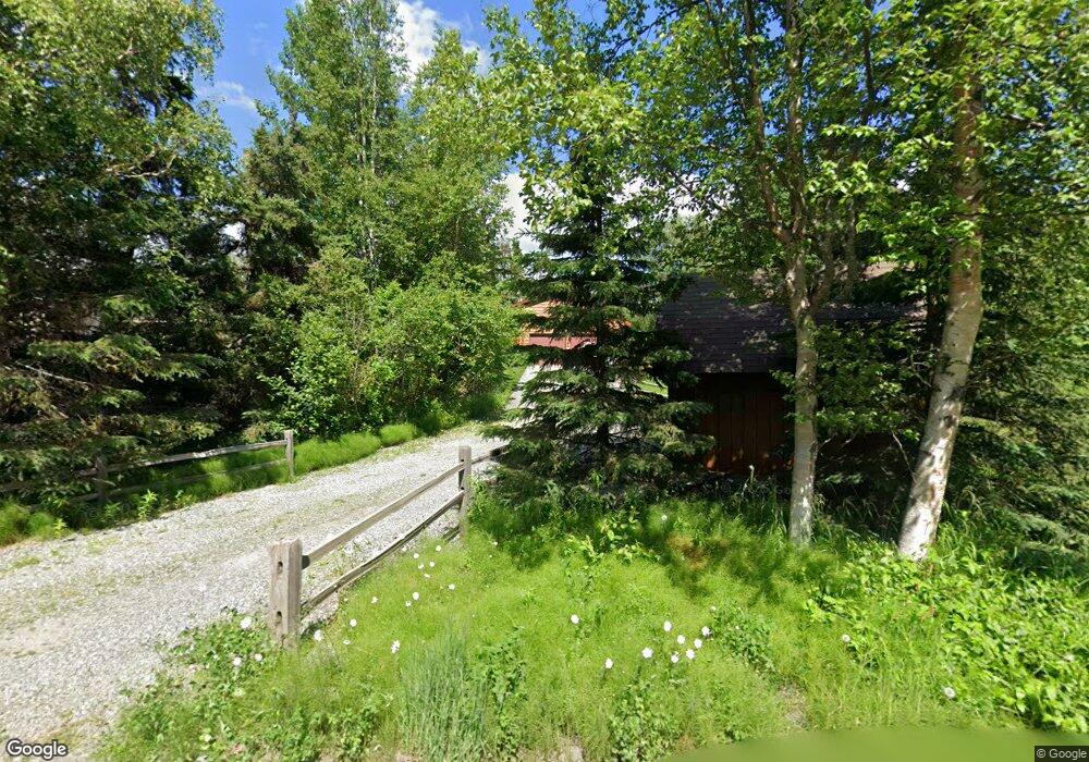
5931 Beverly Dr Anchorage, AK 99516
Mid-Hillside NeighborhoodEstimated Value: $252,000 - $463,844
3
Beds
2
Baths
1,152
Sq Ft
$336/Sq Ft
Est. Value
About This Home
This home is located at 5931 Beverly Dr, Anchorage, AK 99516 and is currently estimated at $386,948, approximately $335 per square foot. 5931 Beverly Dr is a home located in Anchorage Municipality with nearby schools including Huffman Elementary School, Goldenview Middle School, and South Anchorage High School.
Ownership History
Date
Name
Owned For
Owner Type
Purchase Details
Closed on
Jun 27, 1991
Sold by
Mccrory William J and Mccrory Patricia L
Bought by
Ronan Timothy M and Prewitt-Ronan Sheryl
Current Estimated Value
Home Financials for this Owner
Home Financials are based on the most recent Mortgage that was taken out on this home.
Original Mortgage
$125,494
Interest Rate
9.55%
Mortgage Type
FHA
Create a Home Valuation Report for This Property
The Home Valuation Report is an in-depth analysis detailing your home's value as well as a comparison with similar homes in the area
Home Values in the Area
Average Home Value in this Area
Purchase History
| Date | Buyer | Sale Price | Title Company |
|---|---|---|---|
| Ronan Timothy M | -- | -- |
Source: Public Records
Mortgage History
| Date | Status | Borrower | Loan Amount |
|---|---|---|---|
| Closed | Ronan Timothy M | $125,494 |
Source: Public Records
Tax History
| Year | Tax Paid | Tax Assessment Tax Assessment Total Assessment is a certain percentage of the fair market value that is determined by local assessors to be the total taxable value of land and additions on the property. | Land | Improvement |
|---|---|---|---|---|
| 2025 | $1,742 | $370,300 | $106,800 | $263,500 |
| 2024 | $1,742 | $342,000 | $101,800 | $240,200 |
| 2023 | $4,756 | $307,800 | $98,000 | $209,800 |
| 2022 | $1,704 | $309,200 | $98,000 | $211,200 |
| 2021 | $4,627 | $275,900 | $98,000 | $177,900 |
| 2020 | $3,346 | $275,900 | $98,000 | $177,900 |
| 2019 | $3,329 | $271,200 | $98,000 | $173,200 |
| 2018 | $3,213 | $263,600 | $93,200 | $170,400 |
| 2017 | $3,651 | $267,700 | $89,500 | $178,200 |
| 2016 | $3,043 | $275,600 | $89,500 | $186,100 |
| 2015 | $3,043 | $269,000 | $84,500 | $184,500 |
| 2014 | $3,043 | $245,700 | $81,300 | $164,400 |
Source: Public Records
Map
Nearby Homes
- 5345 Heritage Heights Dr
- 12800 Foster Rd
- 6820 Gunnison Dr
- 13492 de Palatis Cir
- 000 de Palatis Cir
- 4905 de Armoun Rd
- L2 Totem Rd
- 12801 Midori Dr
- 14351 Equestrian Cir
- 10960 Totem Rd
- 0 Rd
- 0000 E 113th Ave
- 14474 Rockingham Cir
- 4600 de Armoun Rd
- 4500 Shoshoni Ave
- 6815 Double Tree Ct
- 6770 Round Tree Dr
- 12855 Ginami St
- 6640 O'Malley Rd
- 3928 Pyrenean Cir
- 6001 Beverly Dr
- 5915 Beverly Dr
- L8 B9 Beverly Dr
- L147A Beverly Dr
- L146B Beverly Dr
- L3 Beverly Dr
- 12500 Alpine Dr
- 12536 Alpine Dr
- 6015 Beverly Dr
- 5940 Beverly Dr
- 12456 Alpine Dr
- 5901 Beverly Dr
- 5900 Beverly Dr
- 12600 Alpine Dr
- 12440 Alpine Dr
- 6000 Beverly Dr
- 12741 Birch Rd
- 6031 Beverly Dr
- L12 B1 Alpine Meadows Ave
- L8 Alpine Dr
Your Personal Tour Guide
Ask me questions while you tour the home.