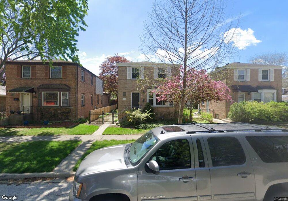
5931 Carol Ave Morton Grove, IL 60053
Estimated Value: $564,088 - $739,000
4
Beds
3
Baths
2,506
Sq Ft
$255/Sq Ft
Est. Value
About This Home
This home is located at 5931 Carol Ave, Morton Grove, IL 60053 and is currently estimated at $639,772, approximately $255 per square foot. 5931 Carol Ave is a home located in Cook County with nearby schools including Park View Elementary School and Niles West High School.
Ownership History
Date
Name
Owned For
Owner Type
Purchase Details
Closed on
Dec 2, 2016
Sold by
Mcgivern Paul J and Mcgivern Tiffiny K
Bought by
Mcgivern Paul J
Current Estimated Value
Home Financials for this Owner
Home Financials are based on the most recent Mortgage that was taken out on this home.
Original Mortgage
$262,400
Interest Rate
3.37%
Mortgage Type
New Conventional
Create a Home Valuation Report for This Property
The Home Valuation Report is an in-depth analysis detailing your home's value as well as a comparison with similar homes in the area
Home Values in the Area
Average Home Value in this Area
Purchase History
| Date | Buyer | Sale Price | Title Company |
|---|---|---|---|
| Mcgivern Paul J | -- | Executive Land Title |
Source: Public Records
Mortgage History
| Date | Status | Borrower | Loan Amount |
|---|---|---|---|
| Closed | Mcgivern Paul J | $262,400 |
Source: Public Records
Tax History Compared to Growth
Tax History
| Year | Tax Paid | Tax Assessment Tax Assessment Total Assessment is a certain percentage of the fair market value that is determined by local assessors to be the total taxable value of land and additions on the property. | Land | Improvement |
|---|---|---|---|---|
| 2024 | $11,780 | $44,101 | $5,233 | $38,868 |
| 2023 | $11,195 | $44,101 | $5,233 | $38,868 |
| 2022 | $11,195 | $44,101 | $5,233 | $38,868 |
| 2021 | $11,251 | $38,406 | $3,220 | $35,186 |
| 2020 | $11,022 | $38,406 | $3,220 | $35,186 |
| 2019 | $11,122 | $43,153 | $3,220 | $39,933 |
| 2018 | $10,623 | $37,100 | $2,918 | $34,182 |
| 2017 | $10,721 | $37,100 | $2,918 | $34,182 |
| 2016 | $10,775 | $38,453 | $2,918 | $35,535 |
| 2015 | $9,866 | $33,238 | $2,515 | $30,723 |
| 2014 | $9,873 | $33,238 | $2,515 | $30,723 |
| 2013 | $10,205 | $35,071 | $2,515 | $32,556 |
Source: Public Records
Map
Nearby Homes
- 8836 Mansfield Ave
- 8849 Mcvicker Ave
- 6020 Lincoln Ave Unit 407
- 8841 Menard Ave
- 6035 Lincoln Ave
- 8708 Central Ave
- 6140 Elm St
- 8918 Parkside Ave
- 8712 Ferris Ave
- 6330 Hennings Ct
- 6332 Hennings Ct
- 6334 Hennings Ct
- 6336 Hennings Ct
- 6338 Hennings Ct
- 6166 Mayfair St Unit 33714
- 6340 Hennings Ct
- 6342 Hennings Ct
- 6344 Hennings Ct
- 6346 Hennings Ct
- 8425 Callie Ave Unit 62
- 5929 Carol Ave
- 5925 Carol Ave
- 5930 Crain St
- 8713 Austin Ave
- 8711 Austin Ave
- 8717 Austin Ave
- 5928 Crain St
- 8709 Austin Ave
- 5924 Crain St
- 8707 Austin Ave
- 5919 Carol Ave
- 5919 Carol Ave
- 5928 Carol Ave
- 5928 Carol Ave
- 8701 Austin Ave
- 5924 Carol Ave
- 5924 Carol Ave
- 5920 Crain St
- 8725 Austin Ave
- 5922 Carol Ave