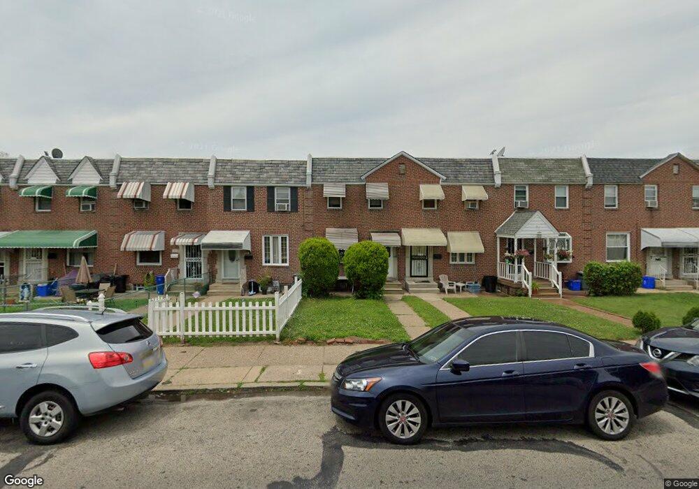
5932 Hasbrook Ave Philadelphia, PA 19120
Lawncrest NeighborhoodEstimated Value: $157,000 - $215,000
3
Beds
1
Bath
1,034
Sq Ft
$185/Sq Ft
Est. Value
About This Home
This home is located at 5932 Hasbrook Ave, Philadelphia, PA 19120 and is currently estimated at $191,219, approximately $184 per square foot. 5932 Hasbrook Ave is a home located in Philadelphia County with nearby schools including Benjamin Franklin Elementary School, Samuel Fels High School, and Mast Community Charter Ii.
Ownership History
Date
Name
Owned For
Owner Type
Purchase Details
Closed on
Dec 21, 2018
Sold by
Bankey Dorothy
Bought by
Clark Kathleen
Current Estimated Value
Home Financials for this Owner
Home Financials are based on the most recent Mortgage that was taken out on this home.
Original Mortgage
$88,369
Outstanding Balance
$79,080
Interest Rate
5.62%
Mortgage Type
FHA
Estimated Equity
$112,139
Purchase Details
Closed on
Apr 28, 1997
Sold by
Moll Joan M and Tatar Anna V
Bought by
Erb Dorothy A
Create a Home Valuation Report for This Property
The Home Valuation Report is an in-depth analysis detailing your home's value as well as a comparison with similar homes in the area
Home Values in the Area
Average Home Value in this Area
Purchase History
| Date | Buyer | Sale Price | Title Company |
|---|---|---|---|
| Clark Kathleen | $90,000 | First Partners Abstract | |
| Erb Dorothy A | $51,000 | -- |
Source: Public Records
Mortgage History
| Date | Status | Borrower | Loan Amount |
|---|---|---|---|
| Open | Clark Kathleen | $88,369 |
Source: Public Records
Tax History Compared to Growth
Tax History
| Year | Tax Paid | Tax Assessment Tax Assessment Total Assessment is a certain percentage of the fair market value that is determined by local assessors to be the total taxable value of land and additions on the property. | Land | Improvement |
|---|---|---|---|---|
| 2025 | $2,027 | $182,600 | $36,520 | $146,080 |
| 2024 | $2,027 | $182,600 | $36,520 | $146,080 |
| 2023 | $2,027 | $144,800 | $28,960 | $115,840 |
| 2022 | $1,433 | $144,800 | $28,960 | $115,840 |
| 2021 | $1,433 | $0 | $0 | $0 |
| 2020 | $1,433 | $0 | $0 | $0 |
| 2019 | $1,376 | $0 | $0 | $0 |
| 2018 | $1,361 | $0 | $0 | $0 |
| 2017 | $1,361 | $0 | $0 | $0 |
| 2016 | $1,361 | $0 | $0 | $0 |
| 2015 | $1,302 | $0 | $0 | $0 |
| 2014 | -- | $97,200 | $22,259 | $74,941 |
| 2012 | -- | $14,464 | $2,337 | $12,127 |
Source: Public Records
Map
Nearby Homes
- 344 Van Kirk St
- 441 Van Kirk St
- 307 E Cheltenham Ave
- 5815 Newtown Ave
- 6046 Hasbrook Ave
- 252 Benner St
- 407 E Sanger St Unit 9
- 517 E Cheltenham Ave
- 330-32 Sanger St
- 414-16 Sanger St
- 223 Stearly St
- 209 Stearly St
- 6143 Reach St
- 539 Van Kirk St
- 5939 Malta St
- 5943 Malta St
- 561 E Cheltenham Ave
- 318 Devereaux Ave
- 354 Devereaux Ave
- 5934 Palmetto St
- 5930 Hasbrook Ave
- 5934 Hasbrook Ave
- 5928 Hasbrook Ave
- 5936 Hasbrook Ave
- 5926 Hasbrook Ave
- 5938 Hasbrook Ave
- 5940 Hasbrook Ave
- 5924 Hasbrook Ave
- 5922 Hasbrook Ave
- 5942 Hasbrook Ave
- 5920 Hasbrook Ave
- 5944 Hasbrook Ave
- 5918 Hasbrook Ave
- 5935 Reach St
- 5933 Reach St
- 5946 Hasbrook Ave
- 5931 Reach St
- 5939 Reach St
- 5941 Reach St
- 5916 Hasbrook Ave