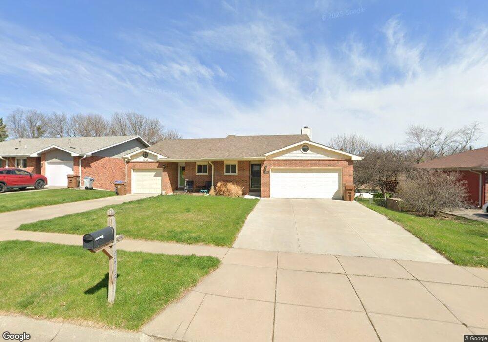
5932 Robin Ct Unit A1 Lincoln, NE 68516
Colonial Hills NeighborhoodEstimated Value: $210,795 - $259,000
2
Beds
2
Baths
1,283
Sq Ft
$179/Sq Ft
Est. Value
About This Home
This home is located at 5932 Robin Ct Unit A1, Lincoln, NE 68516 and is currently estimated at $229,949, approximately $179 per square foot. 5932 Robin Ct Unit A1 is a home located in Lancaster County with nearby schools including Zeman Elementary School, Lux Middle School, and Lincoln East High School.
Ownership History
Date
Name
Owned For
Owner Type
Purchase Details
Closed on
Dec 31, 2009
Sold by
Emmons Kenneth D and Emmons Mary K
Bought by
Condello Craig P and Condello Ann K
Current Estimated Value
Home Financials for this Owner
Home Financials are based on the most recent Mortgage that was taken out on this home.
Original Mortgage
$86,250
Interest Rate
4.8%
Mortgage Type
New Conventional
Purchase Details
Closed on
May 20, 1998
Sold by
Hurlbert Anne E and Williamson Anne E
Bought by
Emmons Kenneth D and Emmons Mary K
Home Financials for this Owner
Home Financials are based on the most recent Mortgage that was taken out on this home.
Original Mortgage
$73,600
Interest Rate
7.22%
Mortgage Type
Purchase Money Mortgage
Create a Home Valuation Report for This Property
The Home Valuation Report is an in-depth analysis detailing your home's value as well as a comparison with similar homes in the area
Home Values in the Area
Average Home Value in this Area
Purchase History
| Date | Buyer | Sale Price | Title Company |
|---|---|---|---|
| Condello Craig P | $115,000 | Rels | |
| Emmons Kenneth D | $93,000 | -- |
Source: Public Records
Mortgage History
| Date | Status | Borrower | Loan Amount |
|---|---|---|---|
| Closed | Condello Craig P | $86,250 | |
| Closed | Emmons Kenneth D | $73,600 |
Source: Public Records
Tax History
| Year | Tax Paid | Tax Assessment Tax Assessment Total Assessment is a certain percentage of the fair market value that is determined by local assessors to be the total taxable value of land and additions on the property. | Land | Improvement |
|---|---|---|---|---|
| 2025 | $2,361 | $204,300 | $41,600 | $162,700 |
| 2024 | $2,361 | $170,800 | $32,400 | $138,400 |
| 2023 | $2,863 | $170,800 | $32,400 | $138,400 |
| 2022 | $3,137 | $157,400 | $28,000 | $129,400 |
| 2021 | $2,968 | $157,400 | $35,000 | $122,400 |
| 2020 | $2,719 | $142,300 | $35,000 | $107,300 |
| 2019 | $2,719 | $142,300 | $35,000 | $107,300 |
| 2018 | $2,476 | $129,000 | $25,000 | $104,000 |
| 2017 | $2,499 | $129,000 | $25,000 | $104,000 |
| 2016 | $2,296 | $117,900 | $25,000 | $92,900 |
| 2015 | $2,280 | $117,900 | $25,000 | $92,900 |
| 2014 | $2,324 | $119,500 | $28,500 | $91,000 |
| 2013 | -- | $119,500 | $28,500 | $91,000 |
Source: Public Records
Map
Nearby Homes
- 5607 Dogwood Dr
- 6001 Robin Rd
- 5520 Vavak Place
- 6309 Tanglewood Cir
- 6029 Dogwood Dr
- 5410 Covey Ct
- 6326 Carveth Ct
- 5411 La Salle St
- 5115 S 52nd St
- 4519 S 57th St
- 4441 S 58th St
- 4431 Kirkwood Dr
- 6321 Black Forest Dr
- 4920 S 66th St
- 4321 S 58th St Unit 7
- 6131 Elkcrest Cir
- 5517 Pioneers Blvd
- 5443 Pioneers Blvd
- 5433 Pioneers Blvd
- 5401 Pioneers Blvd
- 5922 Robin Ct
- 5922 Robin Ct Unit 1
- 5830 Robin Ct
- 5820 Robin Ct
- 5900 Robin Ct
- 5115 Deerwood Cir
- 5831 Robin Ct
- 5107 Deerwood Cir
- 5821 Robin Ct
- 5901 Robin Ct
- 5907 Deerwood Dr
- 5810 Robin Ct
- 5123 Deerwood Cir
- 5913 Deerwood Dr
- 5901 Deerwood Dr
- 5911 Robin Ct
- 5811 Robin Ct
- 5920 Robin Ct
- 5920 Robin Ct Unit 1
- 5800 Robin Ct
Your Personal Tour Guide
Ask me questions while you tour the home.