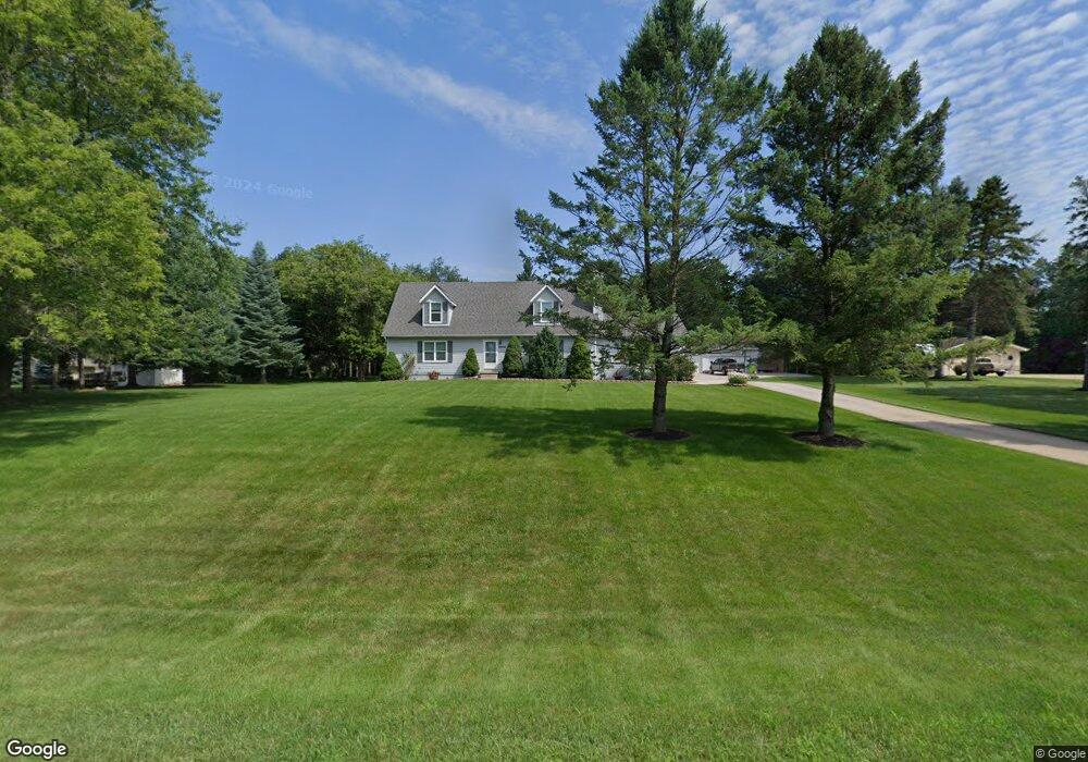
59340 Trelawny Dr Unit Bldg-Unit New Hudson, MI 48165
Estimated Value: $424,000 - $501,000
4
Beds
3
Baths
2,012
Sq Ft
$231/Sq Ft
Est. Value
About This Home
This home is located at 59340 Trelawny Dr Unit Bldg-Unit, New Hudson, MI 48165 and is currently estimated at $464,779, approximately $231 per square foot. 59340 Trelawny Dr Unit Bldg-Unit is a home located in Oakland County with nearby schools including Kent Lake Elementary School, Centennial Middle School, and South Lyon East High School.
Ownership History
Date
Name
Owned For
Owner Type
Purchase Details
Closed on
Jan 26, 2018
Sold by
Thompson Leslie E and Thompson Susan M
Bought by
Solberg Carl
Current Estimated Value
Purchase Details
Closed on
May 11, 2007
Sold by
Thompson Leslie E
Bought by
Thompson Leslie E and Thompson Susan M
Home Financials for this Owner
Home Financials are based on the most recent Mortgage that was taken out on this home.
Original Mortgage
$250,000
Interest Rate
6.27%
Mortgage Type
Purchase Money Mortgage
Purchase Details
Closed on
Mar 7, 2005
Sold by
Thompson Leslie E and Thompson Betty S
Bought by
Thompson Leslie E
Purchase Details
Closed on
Aug 29, 2001
Sold by
Smith Malcum D
Bought by
Thompson Leslie E
Create a Home Valuation Report for This Property
The Home Valuation Report is an in-depth analysis detailing your home's value as well as a comparison with similar homes in the area
Home Values in the Area
Average Home Value in this Area
Purchase History
| Date | Buyer | Sale Price | Title Company |
|---|---|---|---|
| Solberg Carl | $317,500 | First American Title Insuran | |
| Thompson Leslie E | -- | Liberty Title Agency | |
| Thompson Leslie E | -- | -- | |
| Thompson Leslie E | $265,000 | -- |
Source: Public Records
Mortgage History
| Date | Status | Borrower | Loan Amount |
|---|---|---|---|
| Previous Owner | Thompson Leslie E | $250,000 |
Source: Public Records
Tax History Compared to Growth
Tax History
| Year | Tax Paid | Tax Assessment Tax Assessment Total Assessment is a certain percentage of the fair market value that is determined by local assessors to be the total taxable value of land and additions on the property. | Land | Improvement |
|---|---|---|---|---|
| 2024 | $3,507 | $181,580 | $0 | $0 |
| 2023 | $3,345 | $168,720 | $0 | $0 |
| 2022 | $4,586 | $153,590 | $0 | $0 |
| 2021 | $4,190 | $152,900 | $0 | $0 |
| 2020 | $3,076 | $148,960 | $0 | $0 |
| 2019 | $4,185 | $138,070 | $0 | $0 |
| 2018 | $3,075 | $128,110 | $0 | $0 |
| 2017 | $3,114 | $125,130 | $0 | $0 |
| 2016 | $3,123 | $121,400 | $0 | $0 |
| 2015 | -- | $113,900 | $0 | $0 |
| 2014 | -- | $106,560 | $0 | $0 |
| 2011 | -- | $88,980 | $0 | $0 |
Source: Public Records
Map
Nearby Homes
- 59559 Schuss Gully Dr
- 59563 Schuss Gully Dr
- 59567 Schuss Gully Dr
- 59560 Schuss Gully Dr
- 59571 Schuss Gully Dr
- 29923 Bradford Dr Unit 7
- 30108 Norway Dr
- 59575 Schuss Gully Dr
- 59568 Schuss Gully Dr
- 59579 Schuss Gully Dr
- 30112 Norway Dr
- 59572 Schuss Gully Dr
- 59583 Schuss Gully Dr
- 30116 Norway Dr
- 30113 Norway Dr
- 59576 Schuss Gully Dr
- 59580 Schuss Gully Dr
- Waverly Plan at Aspen Ridge
- Linwood Plan at Aspen Ridge
- Continental Plan at Aspen Ridge
- 59340 Trelawny Dr
- 59300 Trelawny Dr
- 29750 Martindale Rd
- 29770 Martindale Rd
- 59301 Trelawny Dr
- 29650 Martindale Rd
- 59351 Trelawny Dr
- 59240 Trelawny Dr
- 29600 Martindale Rd
- 29665 Martindale Rd
- 29701 Martindale Rd
- 29625 Martindale Rd
- 29735 Martindale Rd
- 59225 Trelawny Dr
- 29570 Martindale Rd
- 29575 Martindale Rd
- 59200 Trelawny Dr
- 59035 Trelawny Dr
- 59400 Pontiac Trail
- 59120 Trelawny Dr