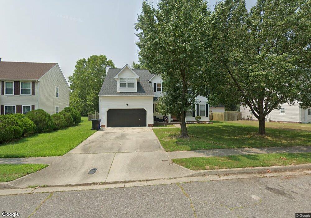
5935 Knightsbridge Way Portsmouth, VA 23703
Churchland NeighborhoodEstimated Value: $407,000 - $429,000
4
Beds
3
Baths
2,199
Sq Ft
$190/Sq Ft
Est. Value
About This Home
This home is located at 5935 Knightsbridge Way, Portsmouth, VA 23703 and is currently estimated at $417,335, approximately $189 per square foot. 5935 Knightsbridge Way is a home located in Portsmouth City with nearby schools including Churchland Primary/Intermediate School, Churchland Middle School, and Churchland High School.
Ownership History
Date
Name
Owned For
Owner Type
Purchase Details
Closed on
Jun 23, 2017
Sold by
Jennings Brenda L
Bought by
Savage Minnie R and Johnson Asar C
Current Estimated Value
Home Financials for this Owner
Home Financials are based on the most recent Mortgage that was taken out on this home.
Original Mortgage
$255,192
Outstanding Balance
$210,871
Interest Rate
3.87%
Mortgage Type
FHA
Estimated Equity
$206,464
Create a Home Valuation Report for This Property
The Home Valuation Report is an in-depth analysis detailing your home's value as well as a comparison with similar homes in the area
Home Values in the Area
Average Home Value in this Area
Purchase History
| Date | Buyer | Sale Price | Title Company |
|---|---|---|---|
| Savage Minnie R | $259,900 | Va Home Title & Settlements |
Source: Public Records
Mortgage History
| Date | Status | Borrower | Loan Amount |
|---|---|---|---|
| Open | Savage Minnie R | $255,192 |
Source: Public Records
Tax History Compared to Growth
Tax History
| Year | Tax Paid | Tax Assessment Tax Assessment Total Assessment is a certain percentage of the fair market value that is determined by local assessors to be the total taxable value of land and additions on the property. | Land | Improvement |
|---|---|---|---|---|
| 2025 | $4,743 | $373,800 | $109,060 | $264,740 |
| 2024 | $4,743 | $371,700 | $109,060 | $262,640 |
| 2023 | $4,646 | $371,700 | $109,060 | $262,640 |
| 2022 | $4,241 | $326,200 | $90,880 | $235,320 |
| 2021 | $3,553 | $273,320 | $80,020 | $193,300 |
| 2020 | $3,504 | $269,510 | $76,210 | $193,300 |
| 2019 | $3,476 | $267,410 | $76,210 | $191,200 |
| 2018 | $3,312 | $254,800 | $76,210 | $178,590 |
| 2017 | $3,136 | $254,800 | $76,210 | $178,590 |
| 2016 | $3,136 | $241,200 | $76,210 | $164,990 |
| 2015 | $3,136 | $241,200 | $76,210 | $164,990 |
| 2014 | $3,063 | $241,200 | $76,210 | $164,990 |
Source: Public Records
Map
Nearby Homes
- 4100 Mayfair Way
- 5807 Dunkin St
- 4200 Quince Rd
- 8 Compass Ct
- 4224 Burnham Dr
- 17 Shoal Ct
- 3433 Willow Breeze Dr
- 5833 Hawthorne Ln
- 3866 Augustine Cir
- 3860 Sugar Creek Cir
- 4028 Swannanoa Dr
- 4232 Summerset Dr
- 21 Windy Pines Crescent
- 4071 Long Point Blvd
- 3818 Peach Orchard Cir
- 3877 Peachtree Ln W
- 5728 Hawthorne Ln
- 3913 Stateflower Ct
- 3817 Harvest Ct
- 3660B Towne Point Rd Unit A
- 5939 Knightsbridge Way
- 5931 Knightsbridge Way
- 5943 Knightsbridge Way
- 5936 Hampshire Green
- 5932 Hampshire Green
- 5927 Knightsbridge Way
- 5947 Knightsbridge Way
- 5930 Knightsbridge Way
- 5934 Knightsbridge Way
- 5923 Knightsbridge Way
- 5938 Knightsbridge Way
- 5928 Hampshire Green
- 5924 Hampshire Green
- 5926 Knightsbridge Way
- 5919 Knightsbridge Way
- 5946 Knightsbridge Way
- 5920 Hampshire Green
- 5933 Hampshire Green
- 5937 Hampshire Green
- 5916 Hampshire Green