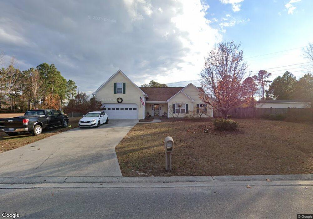
5936 Rowsgate Ln Wilmington, NC 28411
Estimated Value: $473,000 - $538,000
3
Beds
3
Baths
2,485
Sq Ft
$207/Sq Ft
Est. Value
About This Home
This home is located at 5936 Rowsgate Ln, Wilmington, NC 28411 and is currently estimated at $514,333, approximately $206 per square foot. 5936 Rowsgate Ln is a home located in New Hanover County with nearby schools including Murrayville Elementary School, Emma B. Trask Middle School, and Emsley A. Laney High School.
Ownership History
Date
Name
Owned For
Owner Type
Purchase Details
Closed on
Jul 1, 1988
Bought by
Coastal Carolina Dev Inc
Current Estimated Value
Purchase Details
Closed on
Jun 1, 1987
Bought by
Coastal Carolina Devel Inc
Create a Home Valuation Report for This Property
The Home Valuation Report is an in-depth analysis detailing your home's value as well as a comparison with similar homes in the area
Home Values in the Area
Average Home Value in this Area
Purchase History
| Date | Buyer | Sale Price | Title Company |
|---|---|---|---|
| Coastal Carolina Dev Inc | -- | -- | |
| Coastal Carolina Devel Inc | -- | -- |
Source: Public Records
Tax History
| Year | Tax Paid | Tax Assessment Tax Assessment Total Assessment is a certain percentage of the fair market value that is determined by local assessors to be the total taxable value of land and additions on the property. | Land | Improvement |
|---|---|---|---|---|
| 2025 | $2,031 | $517,200 | $131,400 | $385,800 |
| 2024 | $1,930 | $355,200 | $81,900 | $273,300 |
| 2023 | $1,924 | $355,200 | $81,900 | $273,300 |
| 2022 | $1,941 | $355,200 | $81,900 | $273,300 |
| 2021 | $1,957 | $355,200 | $81,900 | $273,300 |
| 2020 | $1,604 | $253,600 | $47,300 | $206,300 |
| 2019 | $1,573 | $248,700 | $47,300 | $201,400 |
| 2018 | $1,573 | $248,700 | $47,300 | $201,400 |
| 2017 | $1,610 | $248,700 | $47,300 | $201,400 |
| 2016 | $1,579 | $227,900 | $47,300 | $180,600 |
| 2015 | $1,468 | $227,900 | $47,300 | $180,600 |
| 2014 | $1,443 | $227,900 | $47,300 | $180,600 |
Source: Public Records
Map
Nearby Homes
- 802 Caspian Ct
- 1002 Sheffield Dr
- 5813 Hyatt Ln
- 6645 Shire Ln
- 2312 Sunnyside Dr
- 6641 Shire Ln
- 2200 Inkberry Ct
- 2217 Loblolly Ct
- 2502 Newry Ln
- 7129 Thurgood Rd
- 2107 White Rd
- 5332 Sun Coast Dr
- 1320 Brookside Gardens Dr
- 131 Meadowood Dr
- 2712 White Rd
- 133 Woodberry Ct
- 2602 Bradfield Ct
- 4826 Castleboro Ct
- 1934 Gordon Acres Dr
- Lot 184 Murrayville Rd
- 6600 Rowsgate Ln
- 5935 Rowsgate Ln
- 703 Thistle Ct
- 705 Thistle Ct
- 5929 Rowsgate Ln
- 4927 Pin Oak Dr
- 6602 Rowsgate Ln
- 6601 Rowsgate Ln
- 701 Thistle Ct
- 5925 Rowsgate Ln
- 4925 Pin Oak Dr
- 704 Thistle Ct
- 4923 Pin Oak Dr
- 6603 Rowsgate Ln
- 5921 Rowsgate Ln
- 702 Thistle Ct
- 5001 Sun Coast Dr
- 6504 Newbury Way
- 6502 Newbury Way
- 4921 Pin Oak Dr
Your Personal Tour Guide
Ask me questions while you tour the home.